Great find, Keith!
And you'll notice that your 1934 topo map still shows "Sterne's Spur" in place, diverging off the Keystone main just northeast of Dillon, running back to the northwest. The end of track with the "power house" appears to be located near the east end of today's Dillon Dam site in Silverthorne.
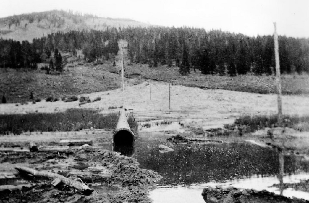
And I may have found an industry to explain the power house: The Oro Grande Placer Mining Company had holdings from just north of Dillon extending eight miles to the northeast, along the east bank of the Blue River. The company acquired water for hydraulic mining by digging eleven miles of ditches from the upper Snake River, north of Keystone, back down into the valley, funneling the water into a pipeline to provide a pressure head, delivering about 2.5 cubic feet of water per minute:
http://digital.denverlibrary.org/cdm/singleitem/collection/p15330coll22/id/34376/rec/2
The company, in the late 1890s, began the digging of the Oro Grande Pit, similar to the well-known Gold Pan Pit in Breckenridge:
http://digital.denverlibrary.org/cdm/singleitem/collection/p15330coll22/id/15084/rec/1
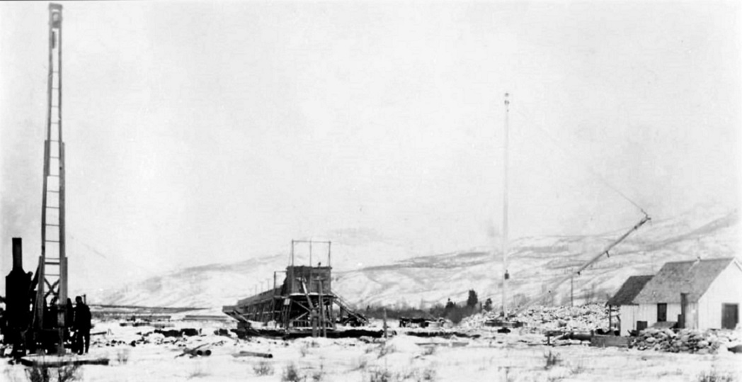
Gravels from the seventy-foot deep pit were lifted hydraulically to a large wooden sluice.
The vertical boiler and derrick to the left was likely used to sample gravels for precious minerals, similar devices show up in photos of dredging along the Swan and the Blue Rivers.
According to Pritchard, in
The Roadside Summit, by 1903 some 99,000 cubic yards of gravel had been removed, uncovering 8540 square feet of bedrock. The enterprise must not have been all that successful, for the entire property, including pipe, "giants" and
electric light plant was offered for sale in July, 1905.
Can't be sure if this is the industry served by "Sterne's Spur', but I can't find any other.
Anyways, we've probably milked all the trivia out of the Dillon area that we can!

Jim Courtney
Poulsbo, WA