I guess I used the Baldwin Branch when referencing the D&RGW books in my first post and should have used a comma after that reference in hindsight. I knew it by that name long before learning of the existance of the C&S in that area, I think having
American Narrow Gauge and
Scenic Line of the World CRRA #8 a year before I found
The Mineral Belt via the local library.
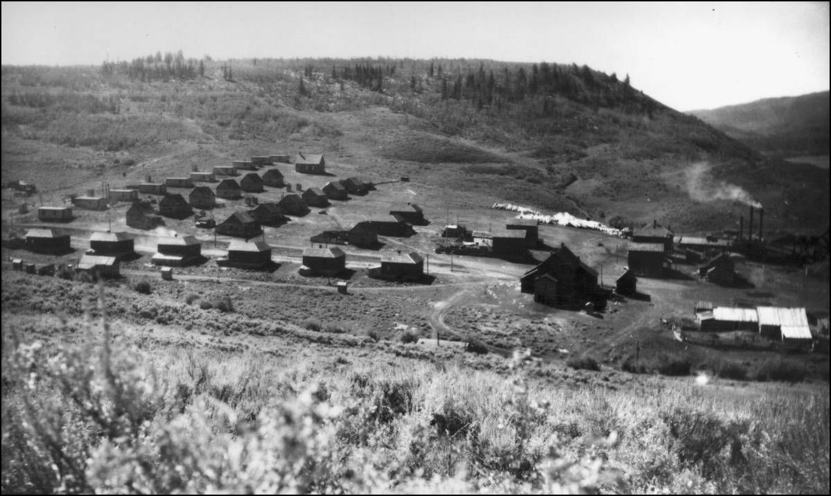
I find this rather interesting as well considering that the line was built specifically and directly to the two coal Mines, Kubler and Baldwin both branched from the Townsite of Castleton.
Mac Poor states South Park Director's minutes refered to it as "Gunnison Valley Extension". DSP&P pg203.
On pg237 He refers to it as "The Ohio Creek branch between Gunnison and Baldwin"
He also wrote on pg 292 that "The Kubler Branch was operated intermittently along with the Baldwin Branch by the South Park until it was taken over by the Rio Grande in 1911."
C&S Timetable #1, June 5, 1922 pages it as "Garos and Baldwin Subdivision".
UpSideDownC
in New Zealand


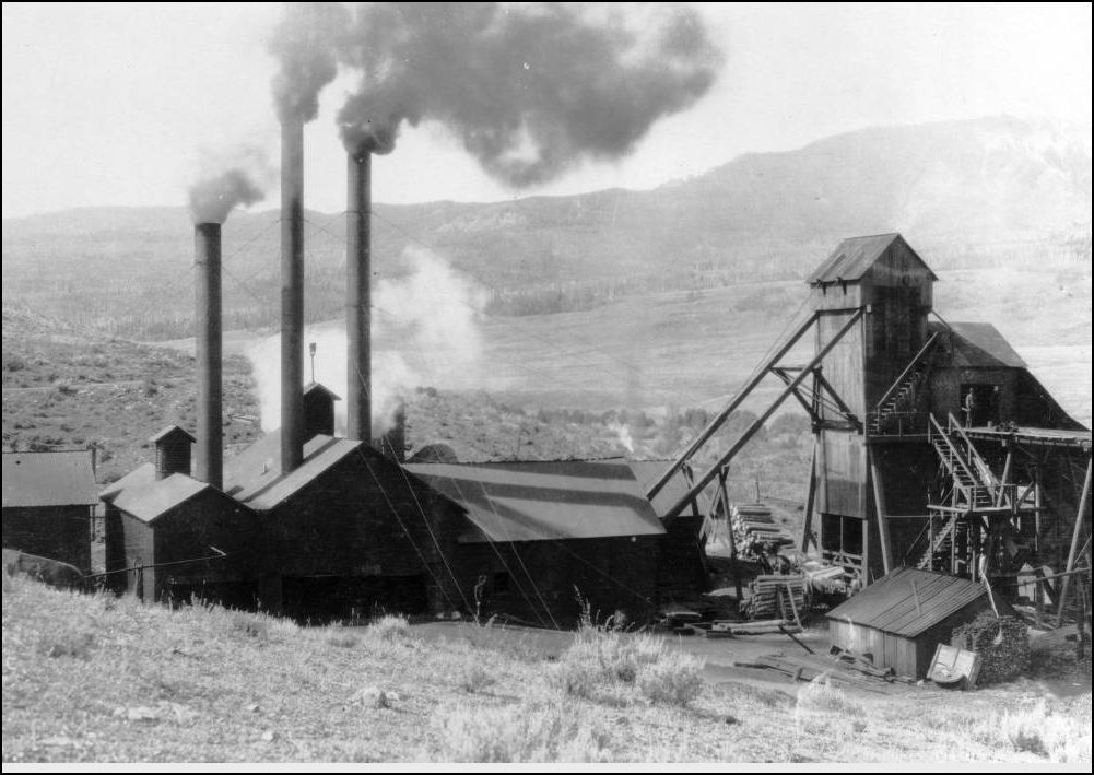
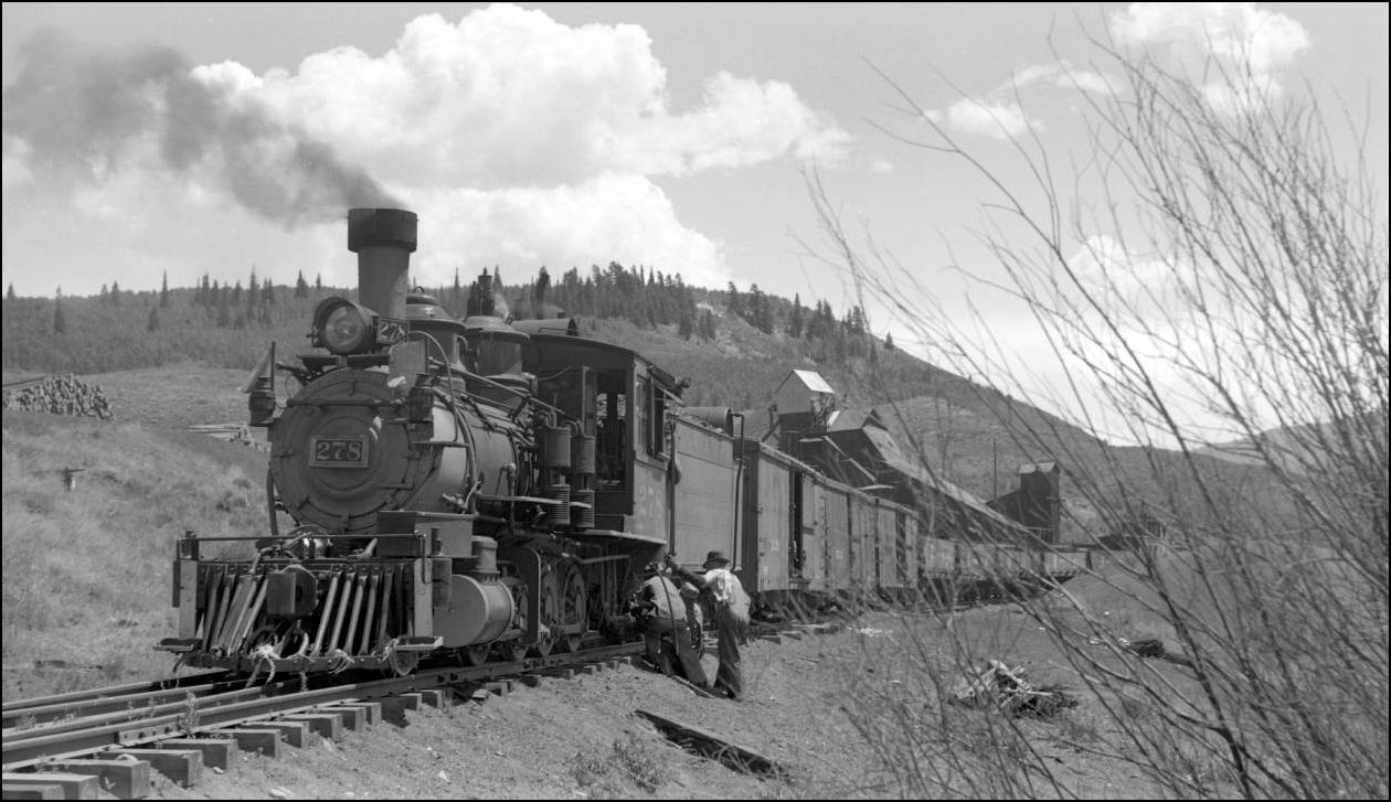
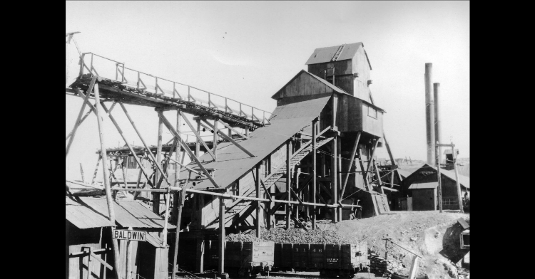
 ....but this view shows the Mine Breaker well.