Yet Another DPL Gem: Unseen Clear Creek.

1 ...
5678

1 ...
5678
Re: Unseen Clear Creek: Elk Meadows.

|
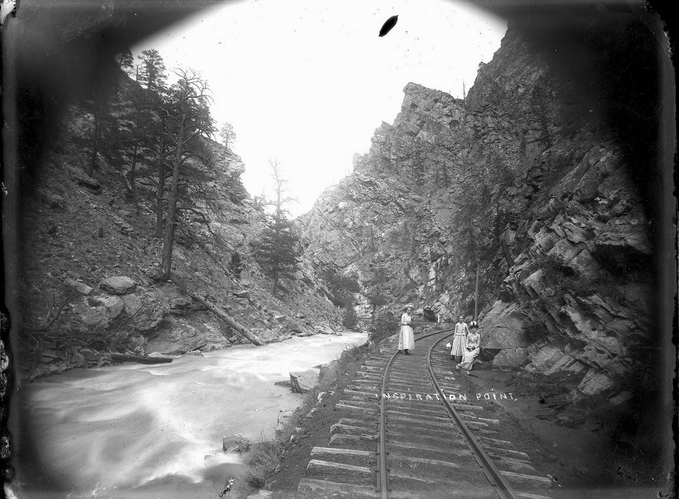
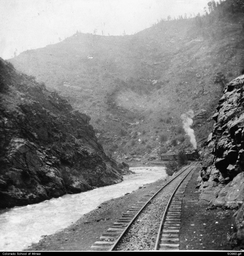
Unseen Clear Creek: Above Inspiration Point.
|
|


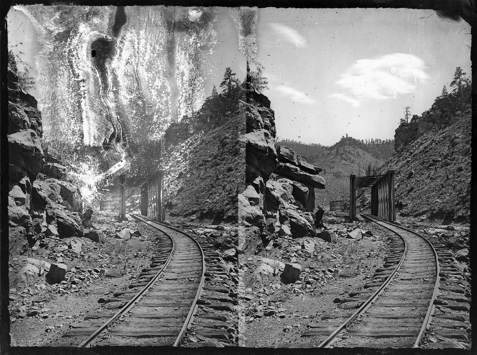
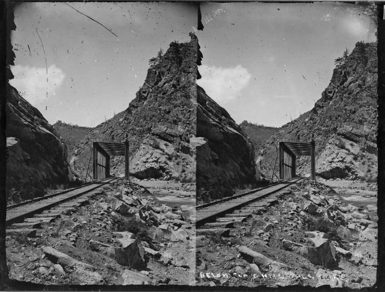
Unseen Clear Creek: The Lost Bridges of Clear Creek.
|
|


Re: Unseen Clear Creek: The Lost Bridges of Clear Creek.
|
|
Re: Unseen Clear Creek: The Lost Bridges of Clear Creek.
|
|
Unseen Clear Creek: Misplaced Image.
|
|
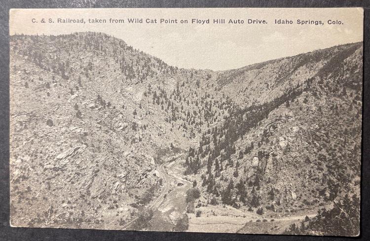
Re: Unseen Clear Creek: Clear Creek from Floyd Hill.
|
|
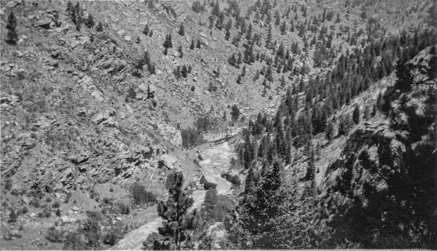
Re: Unseen Clear Creek: Clear Creek from Floyd Hill.
|
|


Re: Unseen Clear Creek: Clear Creek from Floyd Hill.
|
|
Re: Unseen Clear Creek: Clear Creek from Floyd Hill.
|
|
Re: Unseen Clear Creek: The Lost Bridges of Clear Creek.
|
|
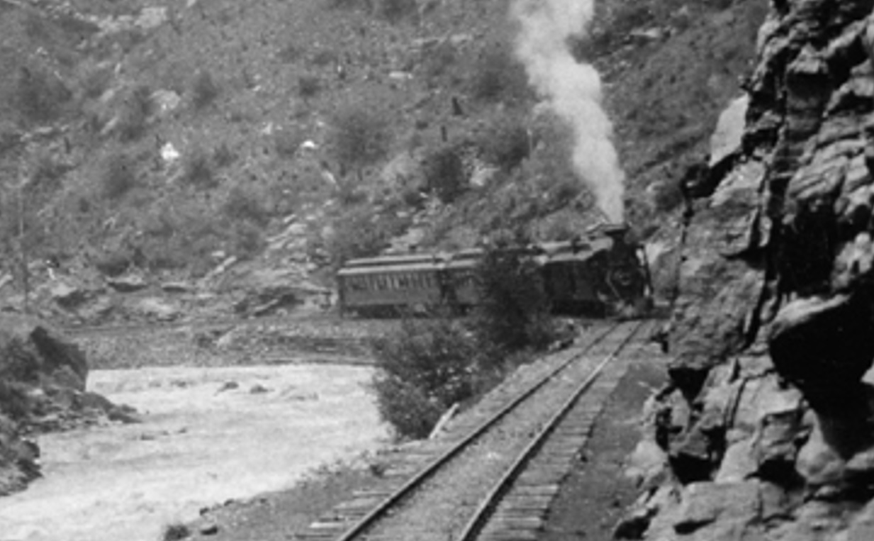
Re: Unseen Clear Creek: Bridge No. 6 from Floyd Hill.
|
|
Re: Unseen Clear Creek: The Lost Bridges of Clear Creek.
|
|
Re: Yet Another DPL Gem: Unseen Clear Creek.
|
|
| Free forum by Nabble | Edit this page |