This One's A Gem: I.S.Yard Limits Begin.
This One's A Gem: I.S.Yard Limits Begin.
|
This post was updated on .
Yard Limits for Idaho Springs began M.P. 35.39, then a double-ended siding at Milepost #36 and a single-ended siding connected at the East-end, known as the Gem on the C&S Idaho Springs Yard Map 1929, and called the Silver Age on Sanborn Maps 1895(Concentrator) +1908(Powerhouse). Gem Mines Co. was very active around Clear Creek and Gilpin Counties. One I'd like to find out more on but never seen a picture of this site yet, none of the volumes written on the C&S mention this spot....The Wilkie Mill was on the South bank of Clear Creek opposite the Gem. Note, the I.S.P.O. did move locations during this period.
 Hiding right behind that Tree. Gilson Gulch is to the right. This is close to where the 6&40 Motel is today. Damned Tree. 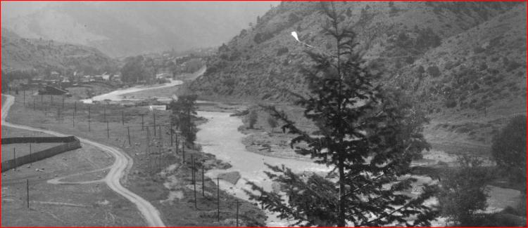 http://digital.denverlibrary.org/cdm/fullbrowser/collection/p15330coll22/id/3359/rv/singleitem/rec/9 http://libcudl.colorado.edu:8180/luna/servlet/UCBOULDERCB1~21~21  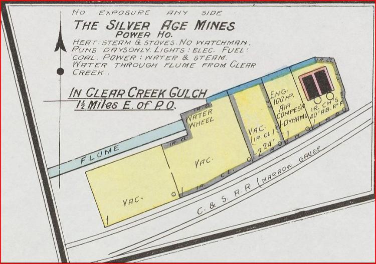 
UpSideDownC
in New Zealand |
Re: This One's A Gem: I.S.Yard Limits Begin.
|
Chris, I see you have got your library card.
DPL's Sanborn maps are a great resource. They are even more stunning when you realize they are all hand drawn and colored with watercolor--and in many cases even updated. Of great note are all the details inside the building footprint, like the boilers. For those not in the know, Sanborn was an INSURANCE company, and they deeply cared about limiting their risk, particularly of fire. Hence the notes like, "no exposure any side," which is code for, "if this catches on fire, it will not harm other buildings." I love the notation for the water wheel and trace, "Vac" indicates vacant, and the notes about operation, which implies someone is on duty in the event fire breaks out. "IR CL" indicates 'iron cladding' which would resist catching fire from air borne cinders. Note that there is a thicker outline where this occurs. All reasons why Sanborn Maps are great modeling resources!
Keith Hayes
Leadville in Sn3 |
Re: This One's A Gem: I.S.Yard Limits Begin.
|
Have had the Library card for a while, {:))
I always liked them being inserted into books and articles, added flavour if you will. Only problem when I started this I.S. Mill research middle of last year, my browser corrupted my saved link and I could never get it to open other than for one map. Once or twice I got back in only for the browser to again reject the "Luna" application. Fortunately that didn't happen at the DPL eh! All fixed now.
UpSideDownC
in New Zealand |
The Silver Age Mill: A Research Continuum.
|
It's been a while
  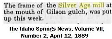 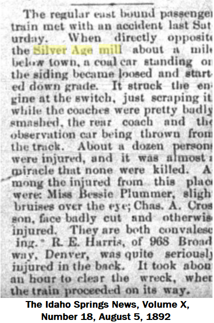 A footnote to that Wreck-reporters mention Coalcar and Flatcar.  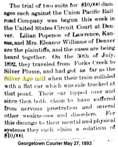 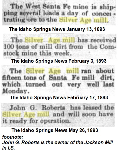 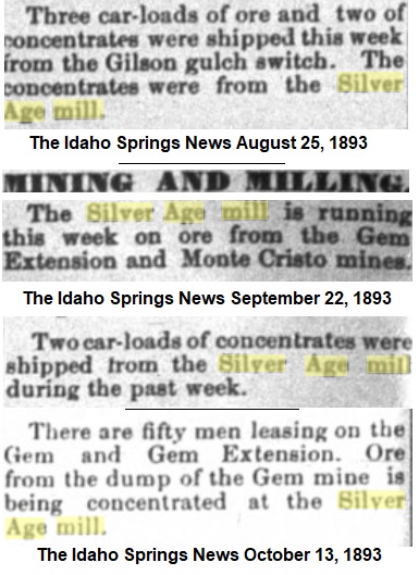 The Concrete Mine is above Nevadaville on the Gilpin Tram or about 4.4 miles as the crow flies.  This item about 19 Cars awaiting at Fork's: Colorado Central Rail Road has this reference "17-or20car capacity siding,(6/5/1904,and 10/21/1912)"  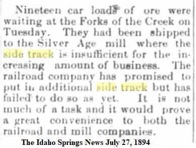 Long distance shipment 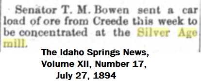 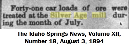 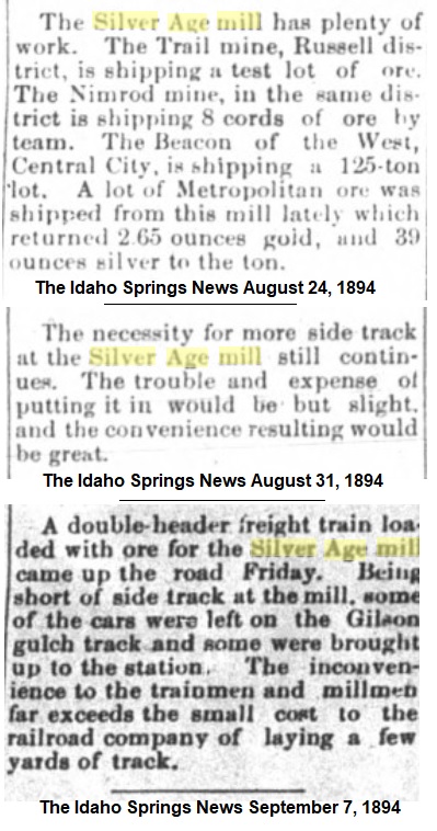 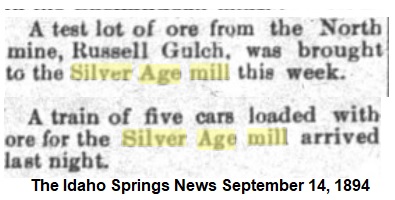 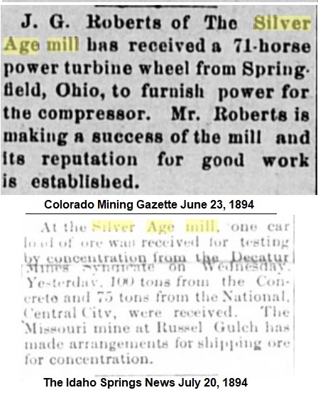 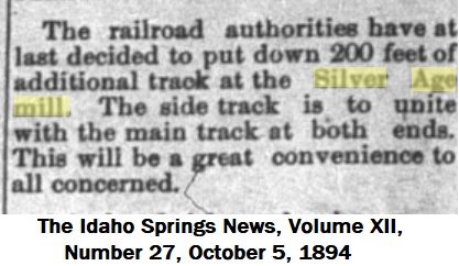 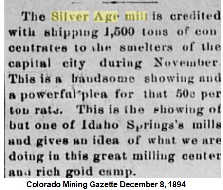 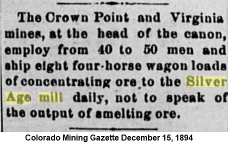
UpSideDownC
in New Zealand |
Re: The Silver Age Mill: A Research Continuum.
|
Administrator
|
Thanks, Chris. Interesting stuff.
"Became loosed". Have to remember that. |
Re: The Silver Age Mill: A Research Continuum.
|
This post was updated on .
Must have been quite the co-incidence that the Passenger happened along right at the time the "loosed" car made the switch, OR, the Engineer just didn't notice the out-foul car and struck it before he could get'er stopped.
Having once been on a moving Loco struck amidships by a dozen wagons drifting out of a yard track, I can assure you it gets real interesting listing over at 30 degrees.  After a lot of looking at Rocks again..... 
Otto Perry caught the 65 stopped at the Yard Limits of I.S. around about where the Silver Age Mill was located. Supposedly September 1921. This is the only RR image I've seen to date at this location. DPL OP-6082 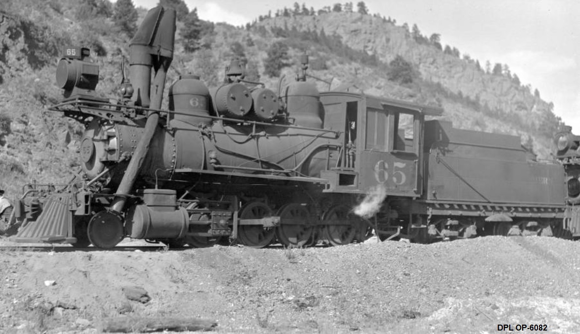 GoogleMapsCapture 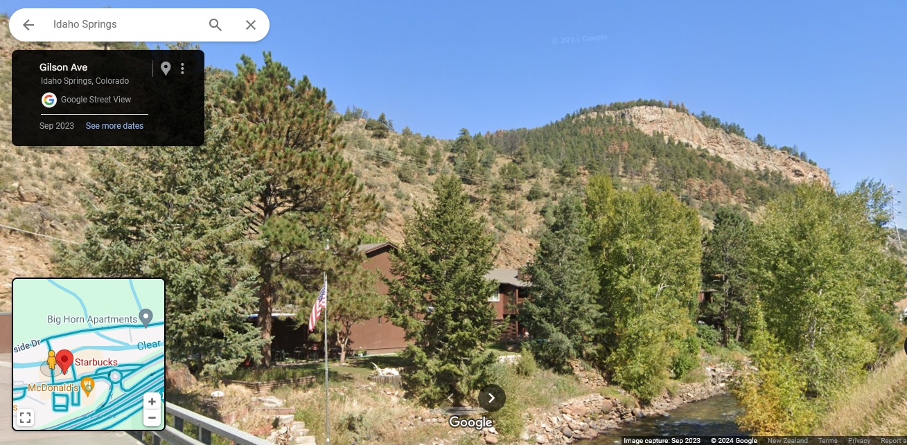
UpSideDownC
in New Zealand |
Re: The Silver Age Mill: The Research Continues.
|
I've been sitting on this in the hope that my Northern friends would come through for me: alas it is not to be.
This is a newspaper version of a Lachlan McLean image I have been trying to obtain, so I'll add this here now to illustrate this missing link in the Mills of Idaho Springs, one that none of the CCRR or C&S books have had a mention thereof. 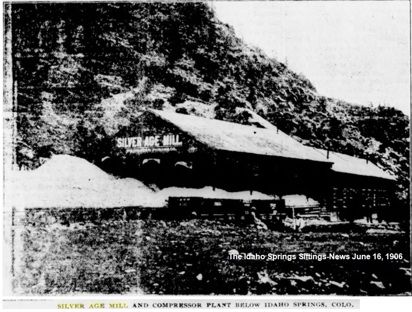
UpSideDownC
in New Zealand |
«
Return to C&Sng Discussion Forum
|
1 view|%1 views
| Free forum by Nabble | Edit this page |

