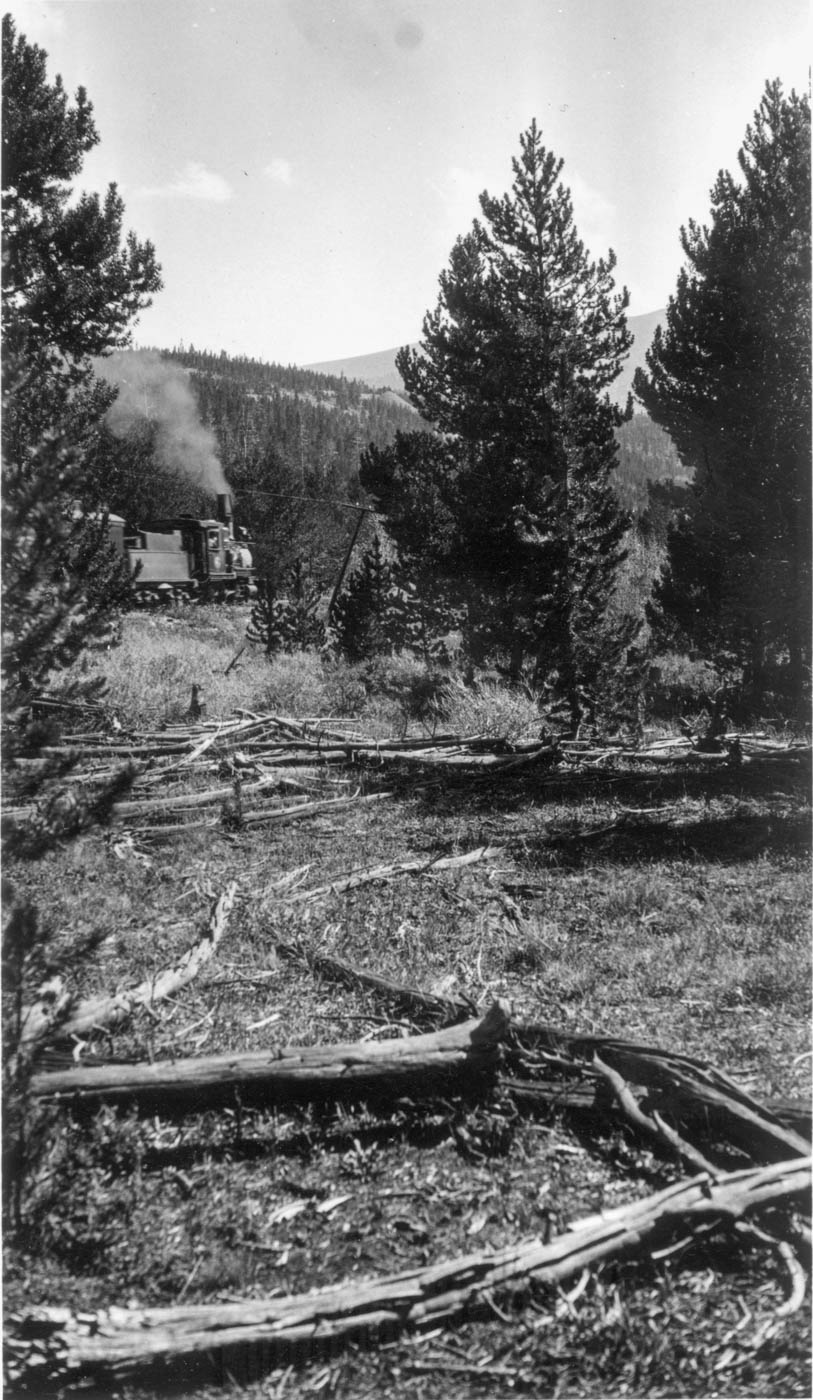
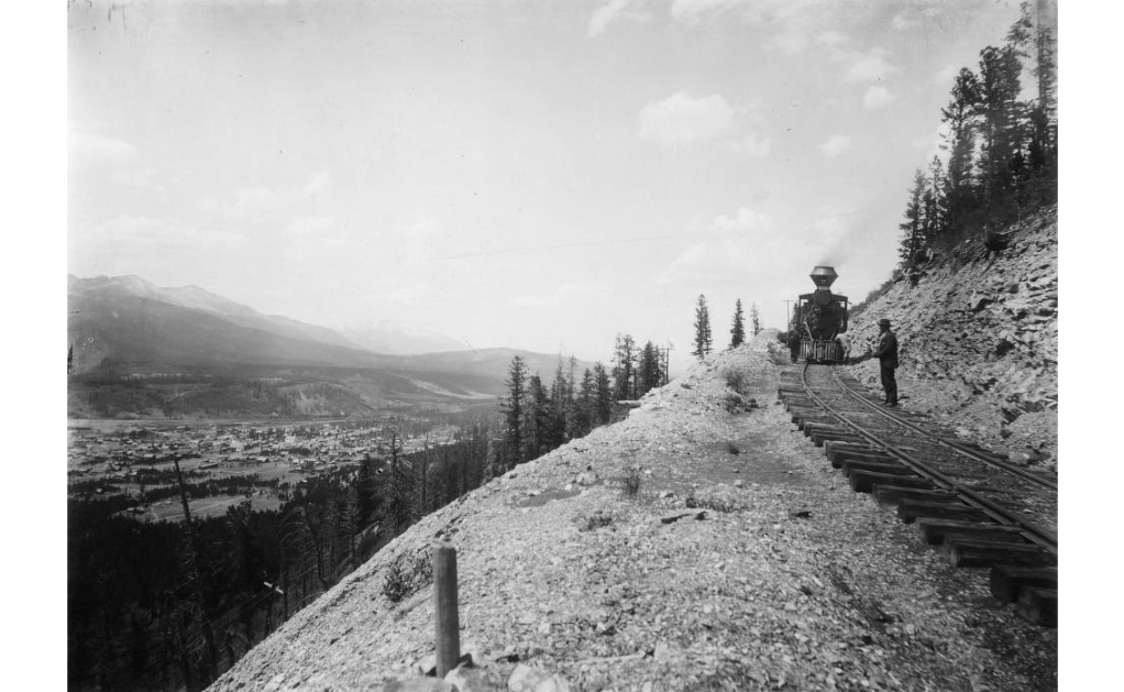
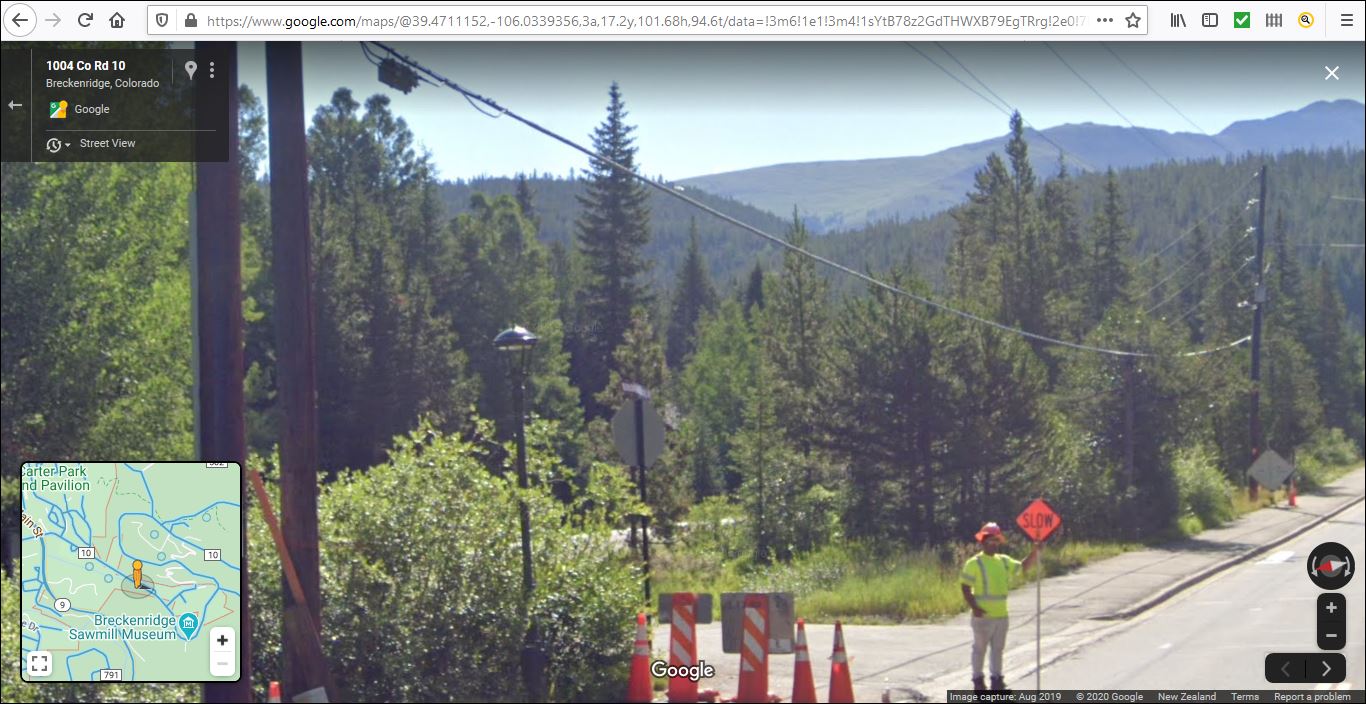
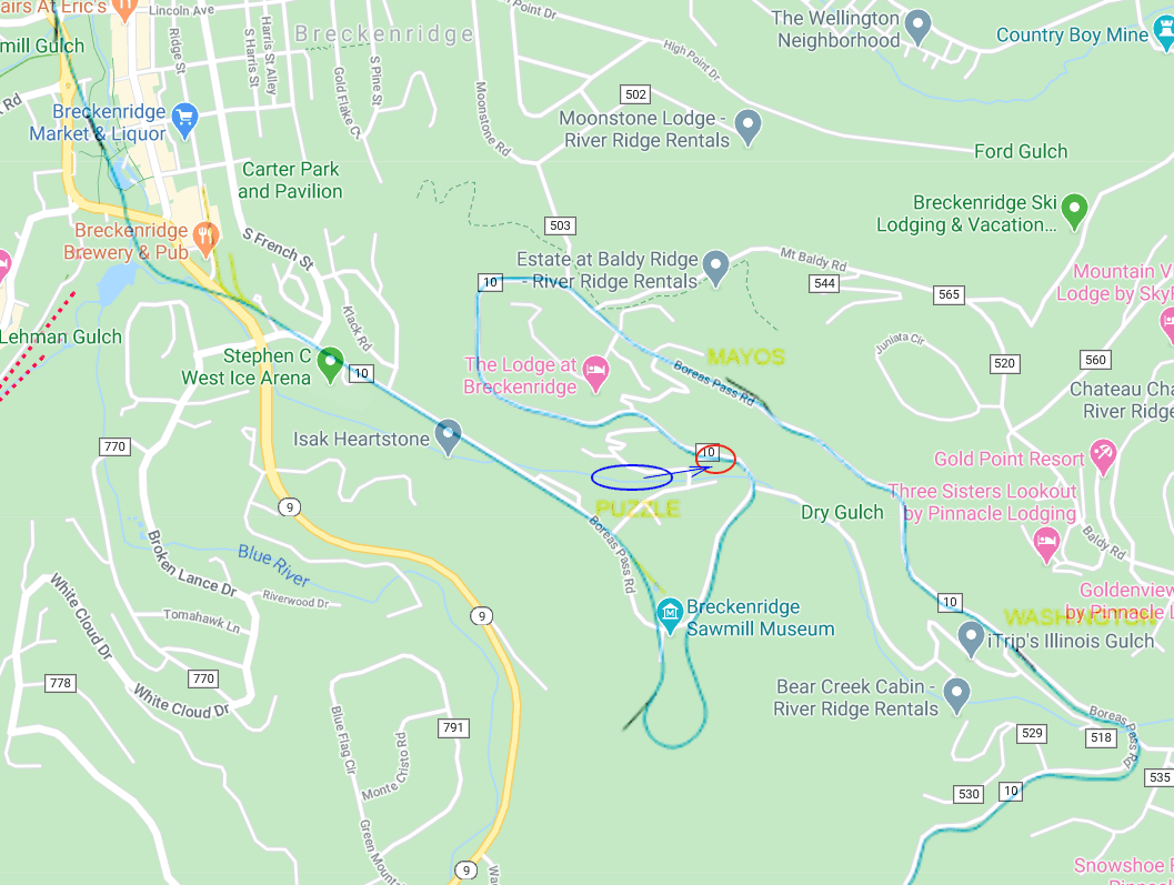
Need help with location of C&S #6 photo

Need help with location of C&S #6 photo

|
Re: Need help with location of C&S #6 photo
|
|
Re: Need help with location of C&S #6 photo
|
|
Re: Need help with location of C&S #6 photo
|
|
Re: Need help with location of C&S #6 photo
|
|
Re: Need help with location of C&S #6 photo
|
|
Re: Need help with location of C&S #6 photo
|
|
Re: Need help with location of C&S #6 photo
|
|
Re: Need help with location of C&S #6 photo
|
|
Re: Need help with location of C&S #6 photo
|
|

Re: Need help with location of C&S #6 photo
|
|
Re: Need help with location of C&S #6 photo
|
|
Re: Need help with location of C&S #6 photo
|
|
Re: Need help with location of C&S #6 photo
|
|
Re: Need help with location of C&S #6 photo
|
|
Re: Need help with location of C&S #6 photo
|
|
Re: Need help with location of C&S #6 photo
|
|
Re: Need help with location of C&S #6 photo
|
|
Re: Need help with location of C&S #6 photo
|
|
| Free forum by Nabble | Edit this page |