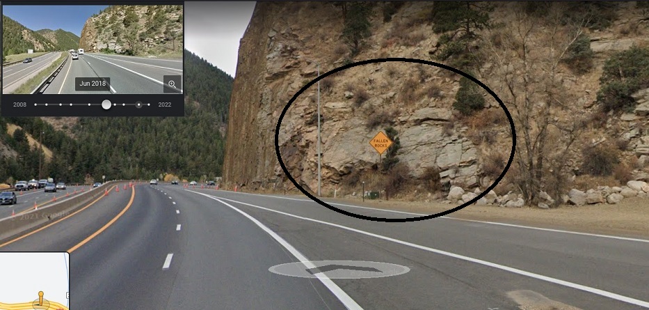
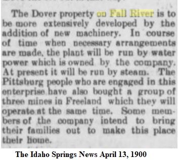
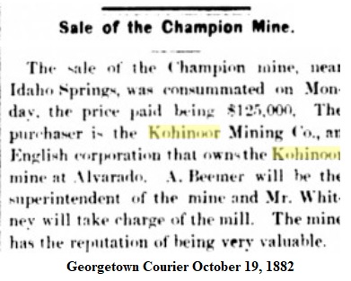
At last I present the following story: anyone familiar with the Mining saga of the American West can relate to the oft-repeated failings and dishonesty associated with unscrupulous characters over the years. This story has that, all the hallmarks of greed, gullible investors, swindlers and miscreants, misguided, inept and no expense spared company officials, and a few rogues.

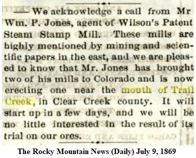
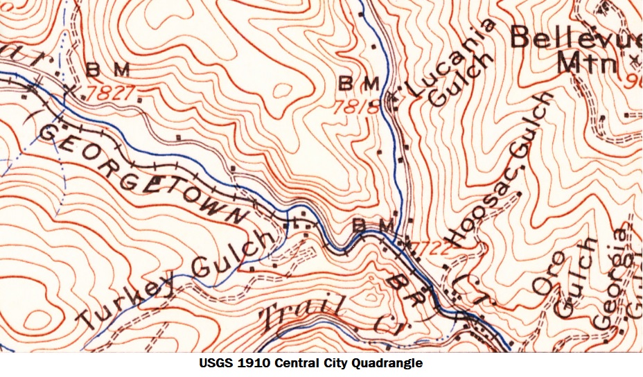
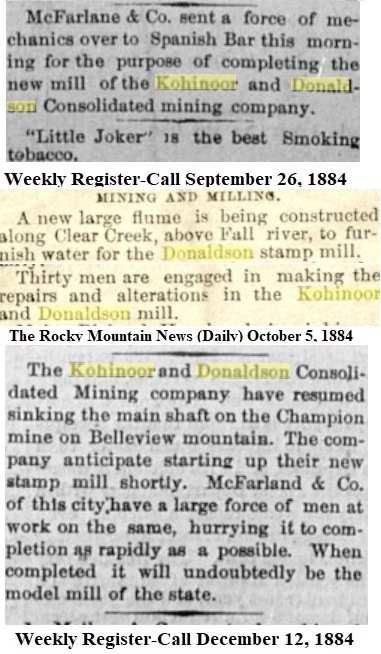
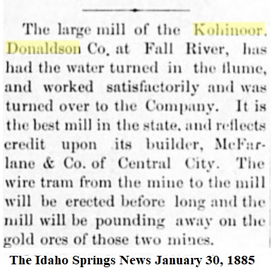
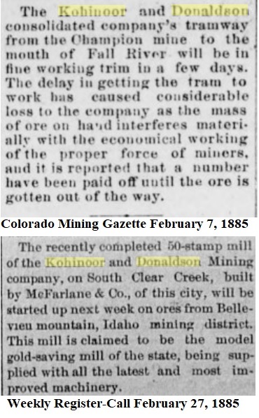
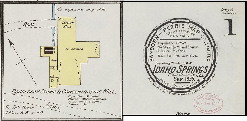
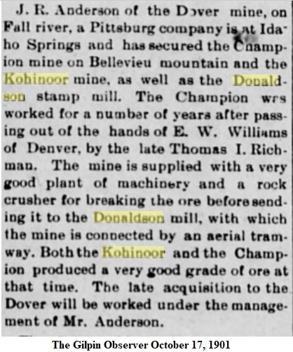
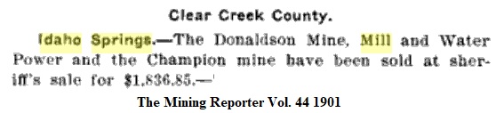
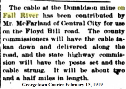
This Mill has been referred to in various publications and newspapers as the Kohinoor-Donaldson, the Donaldson, the Donnelson, the Champion, the Specie-Payment, and the Fall River Mill. There were times that I'd disappear down a rabbit-hole chasing some Reporters mention, only to find a dead end.
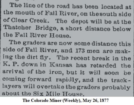
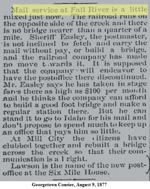
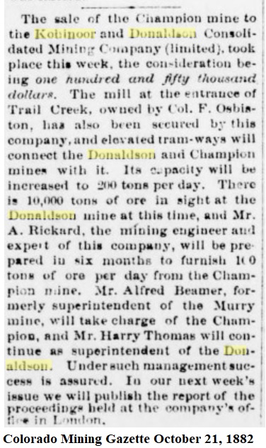
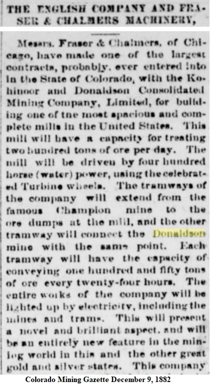
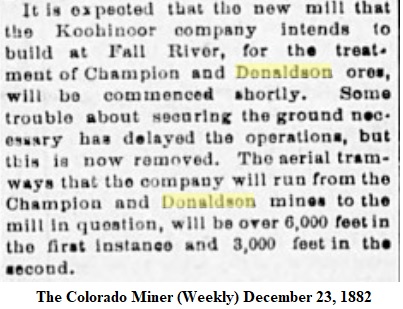
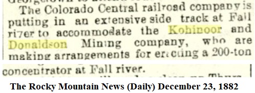
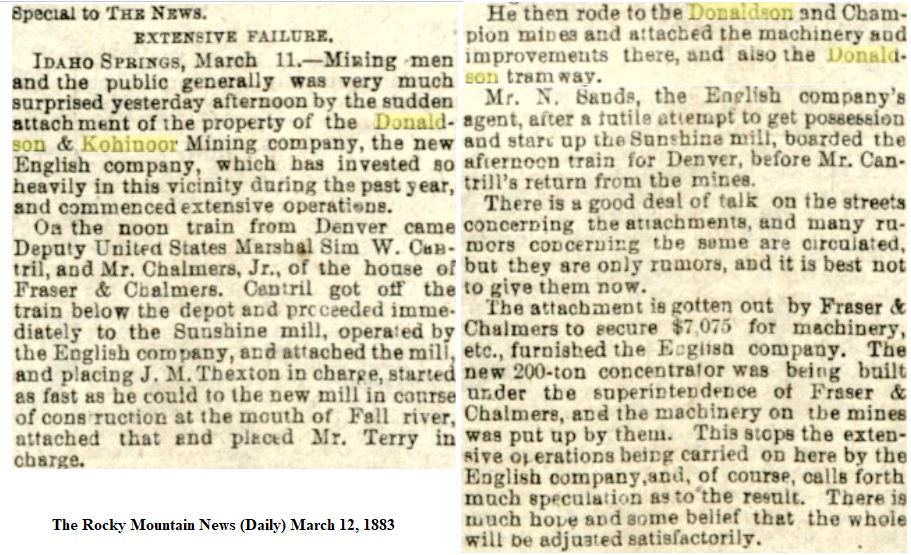
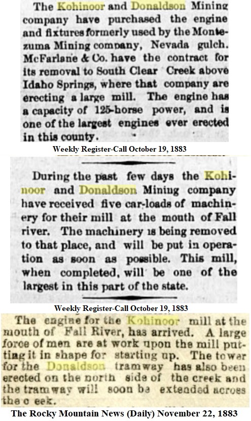
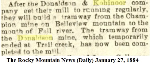
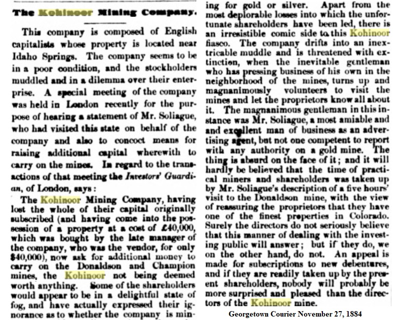
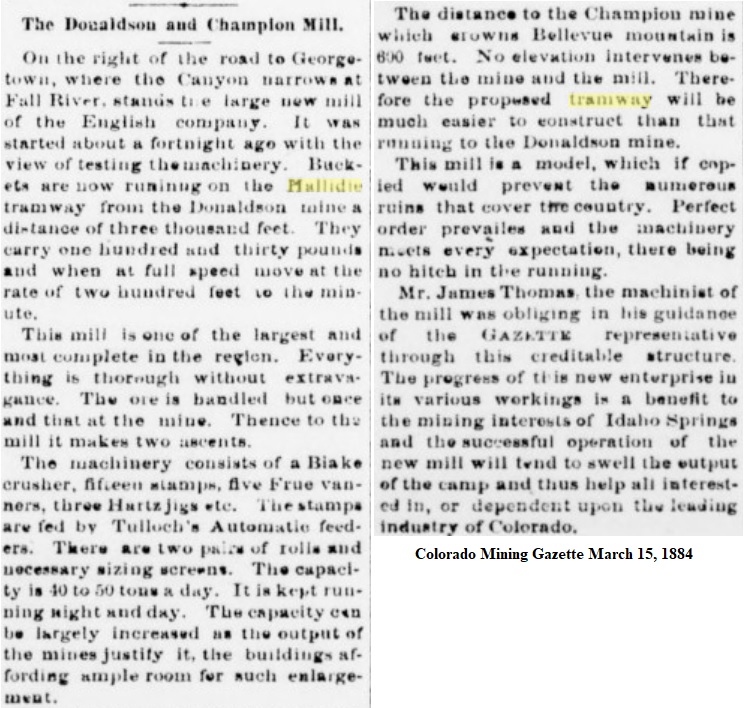
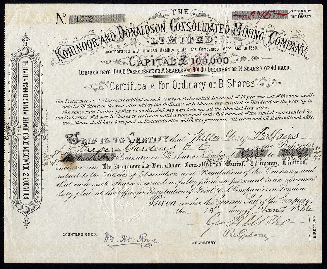
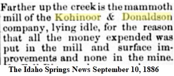
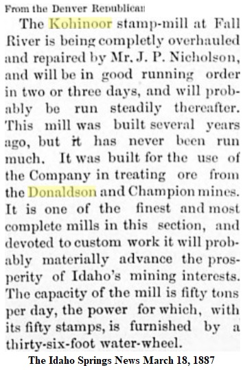
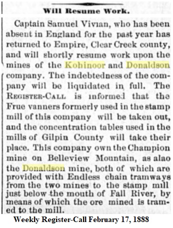
Chapter One: Buy a Mine, Build a Mill.
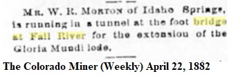
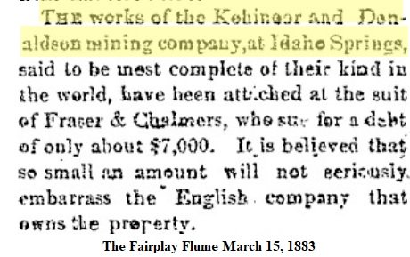
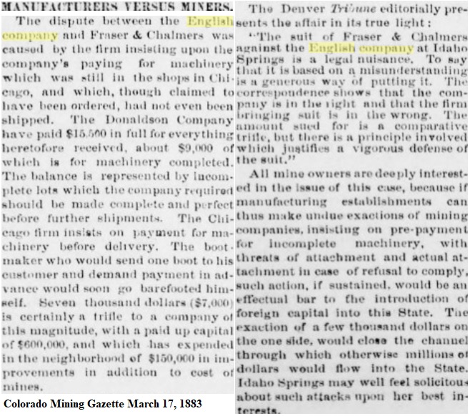
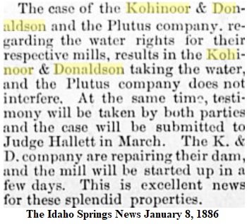
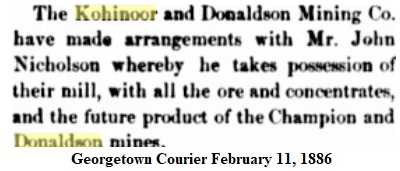
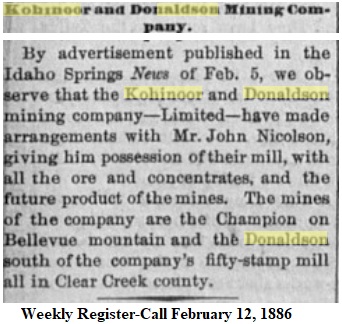
Chapter Two: Litigation.
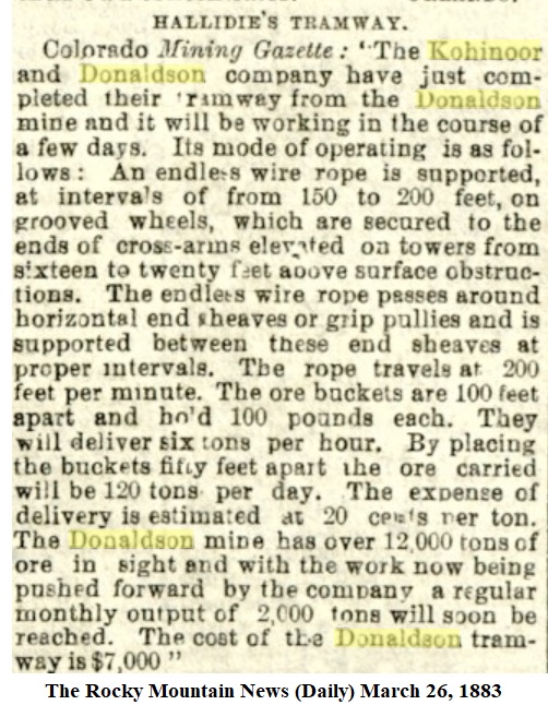
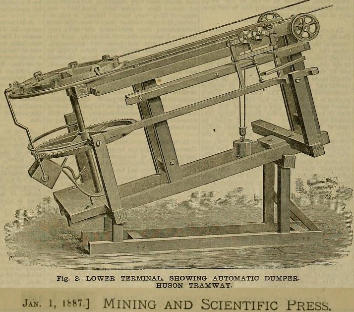
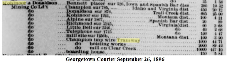
A little sidebar on the Hallidie Patent Aerial Ropeway and the improved Huson Automatic version. These were single Rope, not the better, more common Double-Rope trams we usually associate.

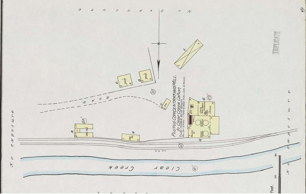
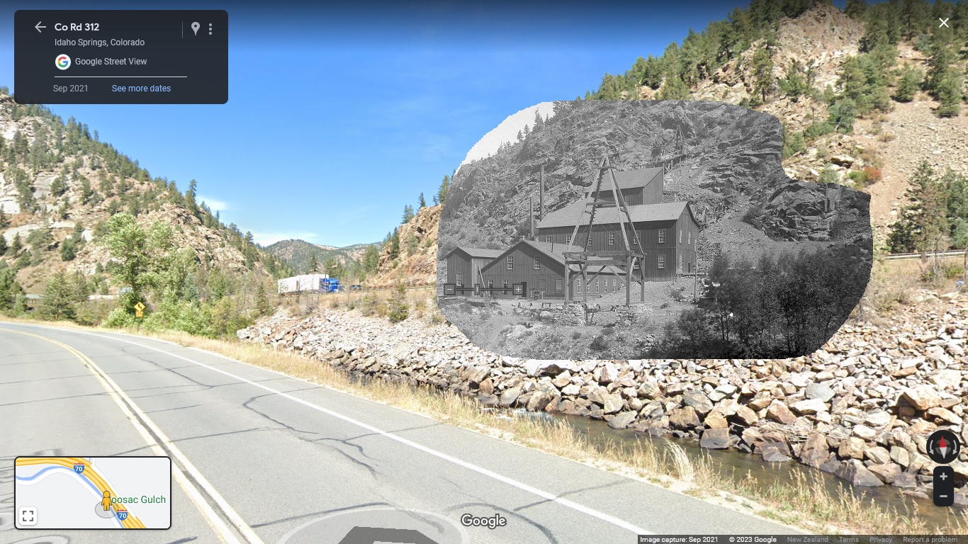
Denver Public LibrarySpecial Collections: Jessie Randall Papers: Kohinoor-Donaldson Mill Drawings.
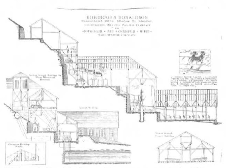
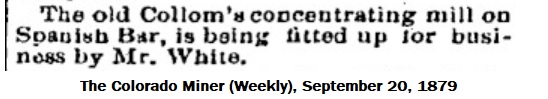
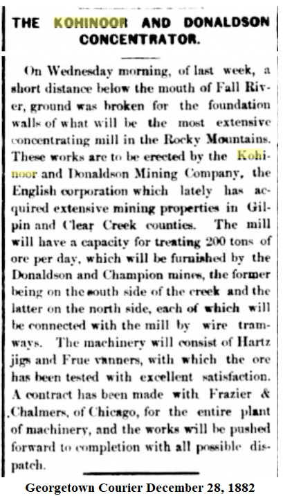
Chapter Three: Concentrating.
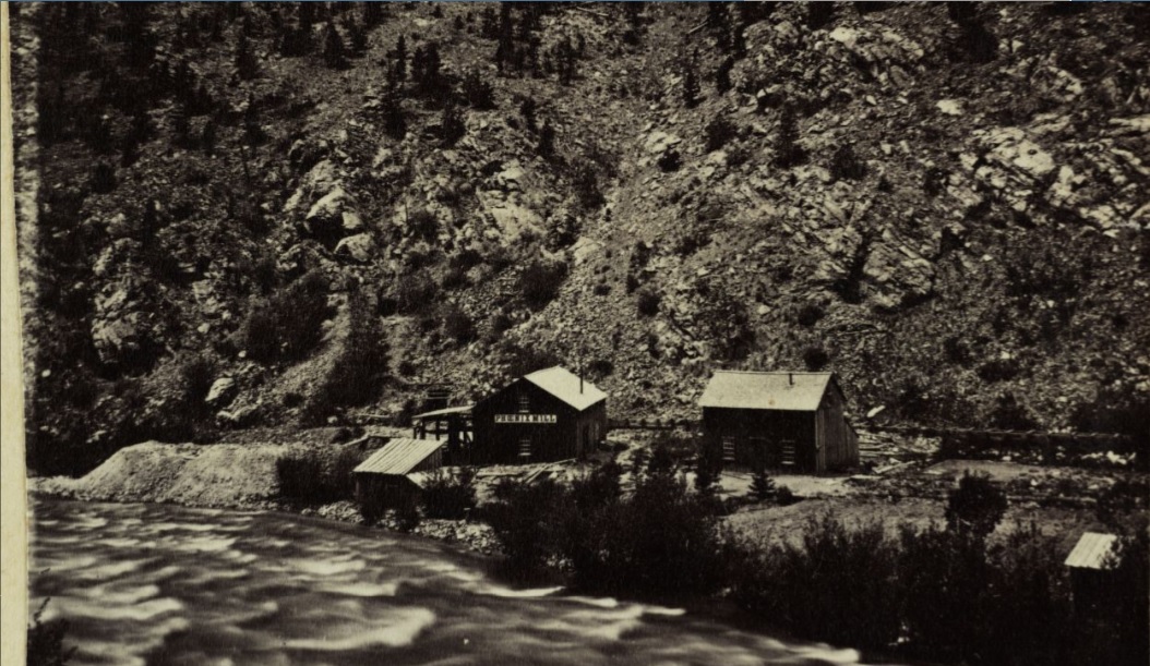
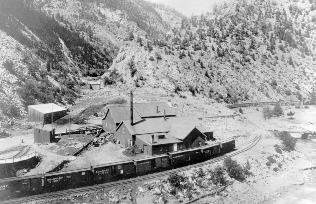
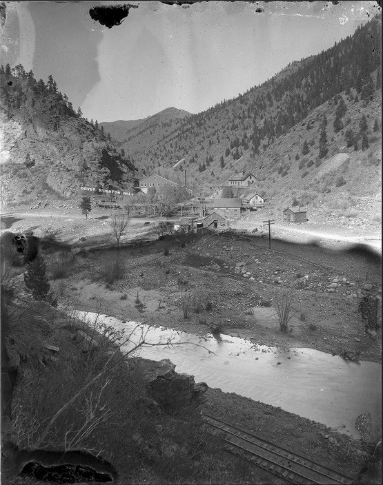
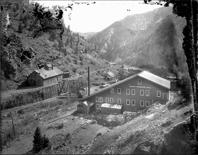
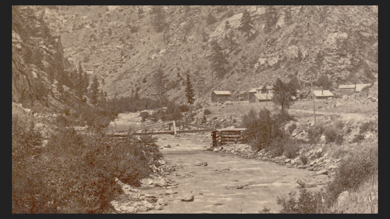
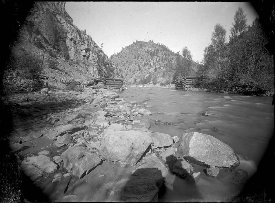
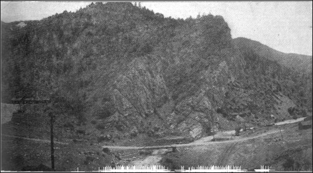
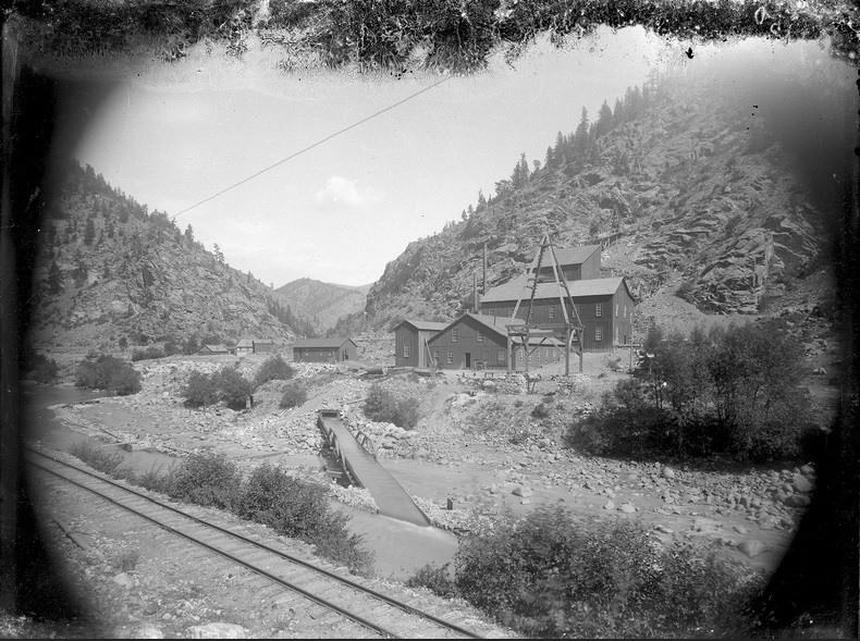
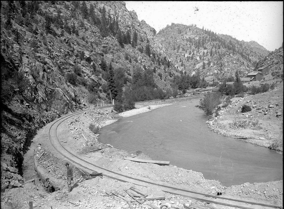
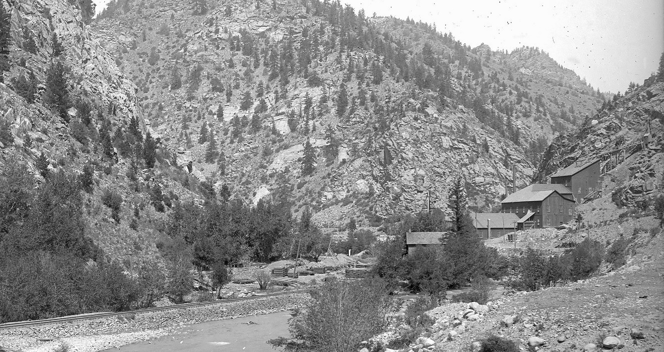
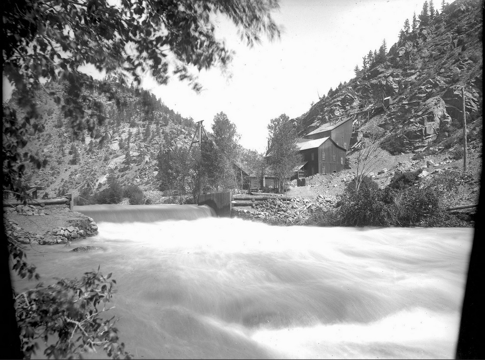
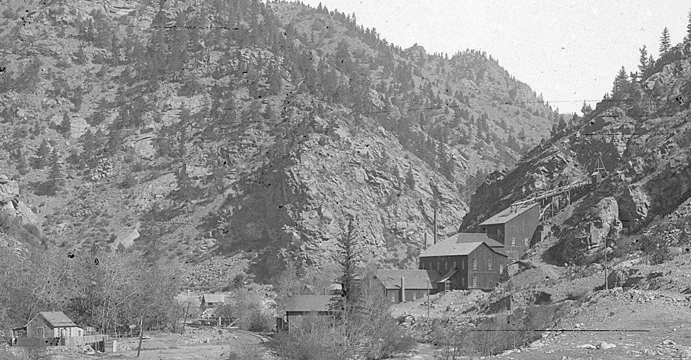
Lachlan McLean Photo
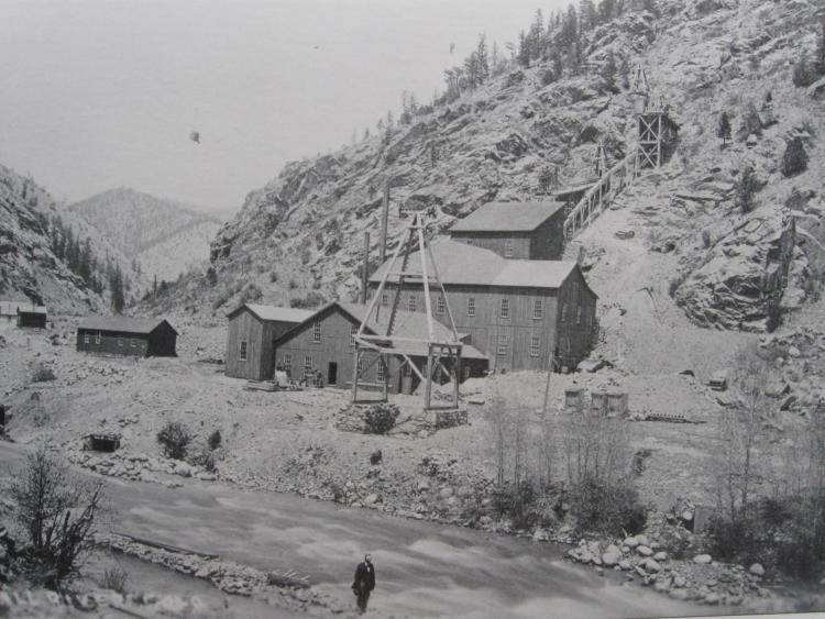 from Duane Smith/Wieler Secure The Shadow Colorado School Mines. pg71
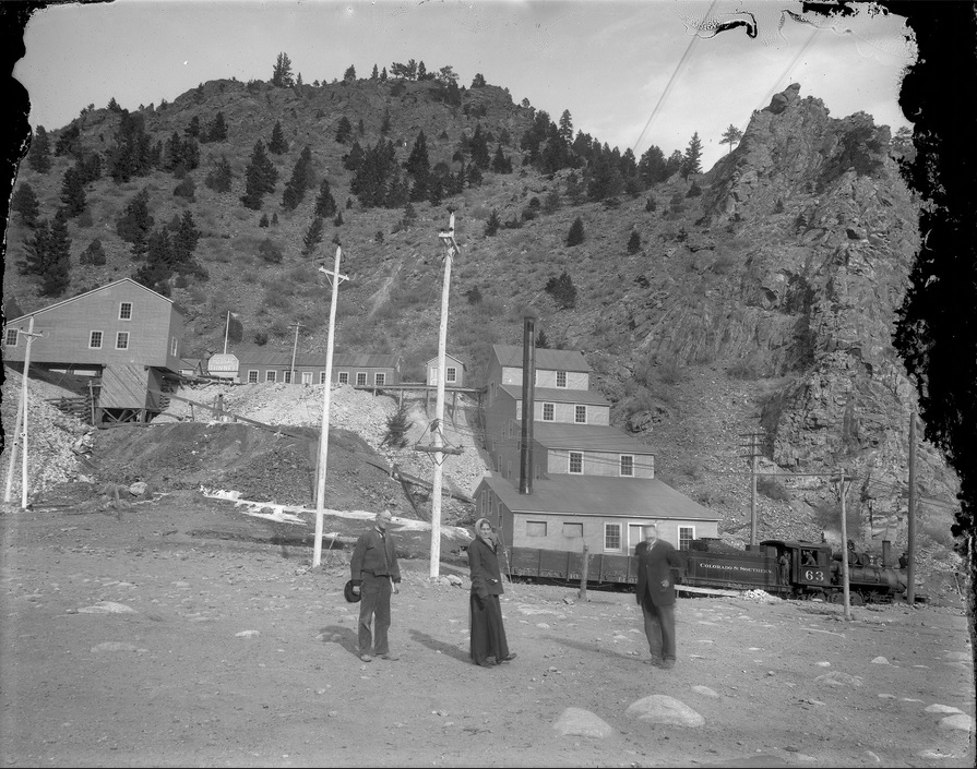
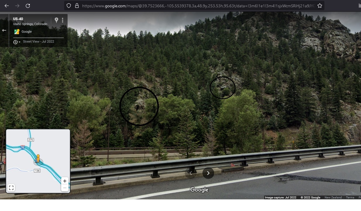
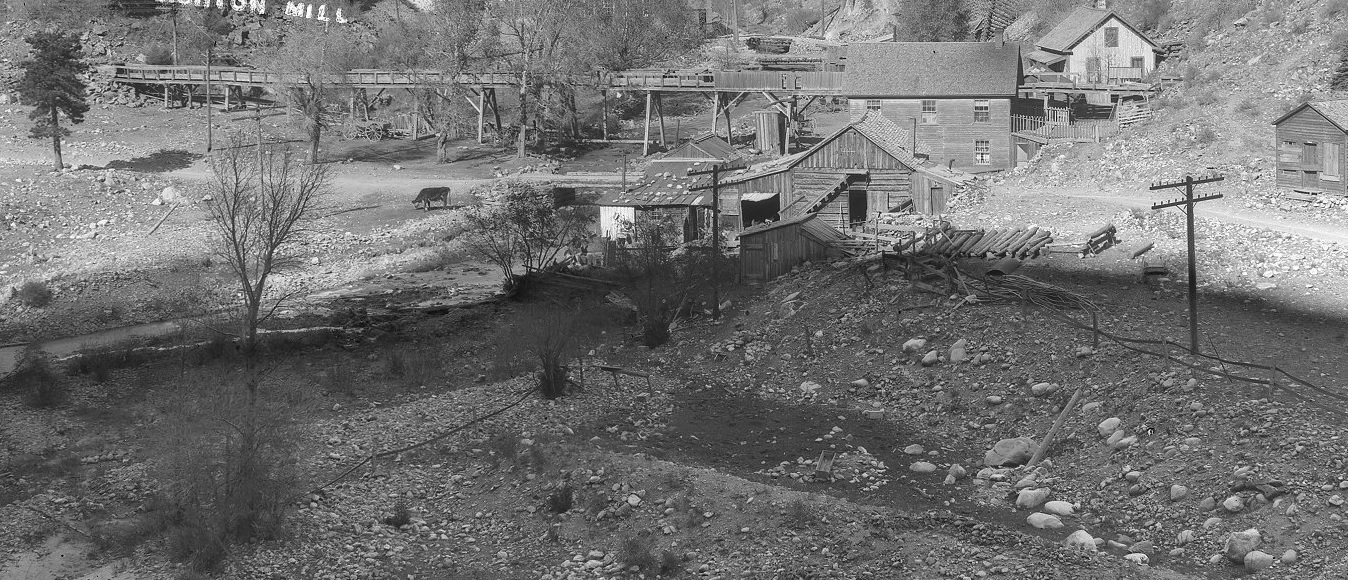
Takeaways from that fine image: A complete South Ropeway with Buckets swinging to the Donaldson Mine, and the original discharge of the waterpower flume back into Clear Creek avoiding the Plutus Concentrator intake. The middle section of the Mill shows an extension on the Eastside evidenced by the freshly Shingled roof.
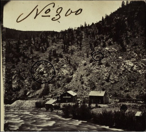
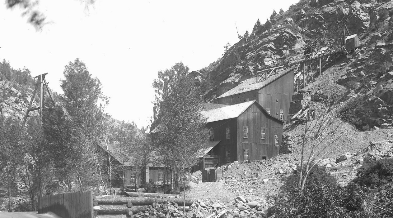
Lachlan McLean Photo
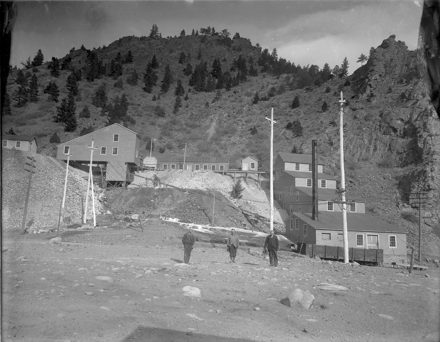
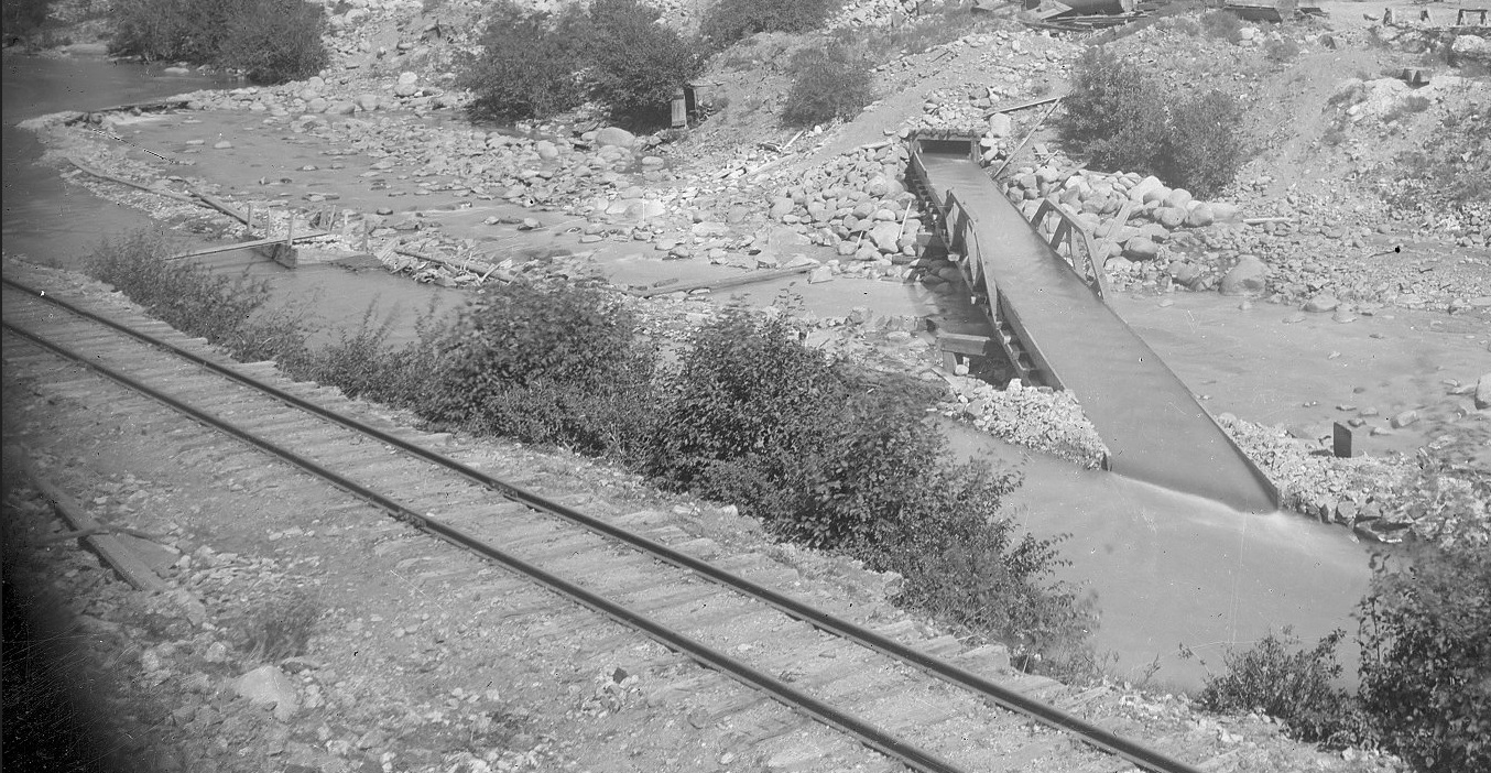
Lachlan McLean Photo enlargement: detailing the discharge compromise across Clear Creek and into the Plutus Concentrator intake canal.
Chapter Four: Gone to the Dogs.
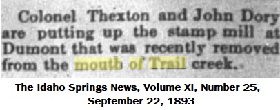
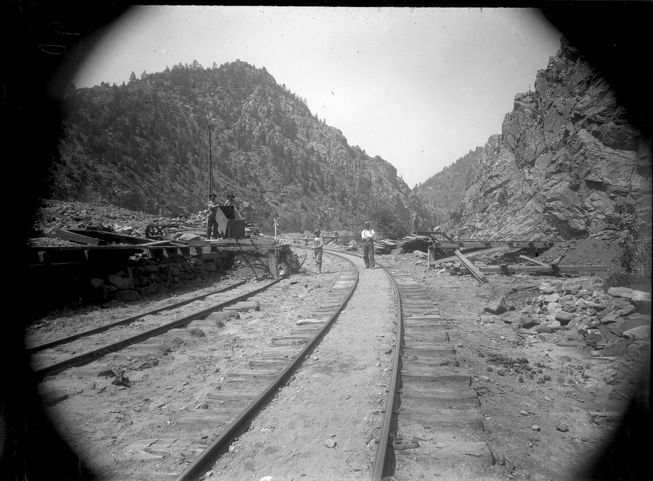
Lachlan McLean Photo
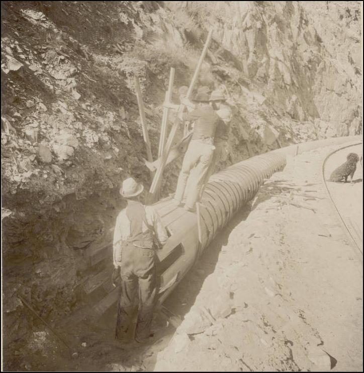
Lachlan McLean Photo enlargement: detailing the condition of Mill buildings and Aerial tramways in 1894 during construction of Stanley Consolidated Pipeline/Flume.
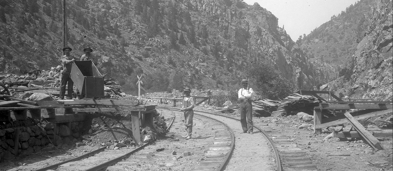
Lachlan McLean Photo
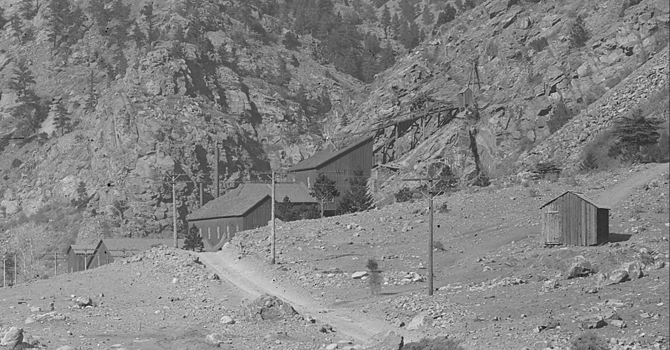
Lachlan McLean Photo enlargement: detailing the condition of the Mill and Tramways. Circa 1895-96 after Dam completion of Stanley Consolidated Pipeline/Flume.
Lachlan McLean Photo enlargement: detailing the condition of the Mill and missing South Tramway tower. Circa 1900.
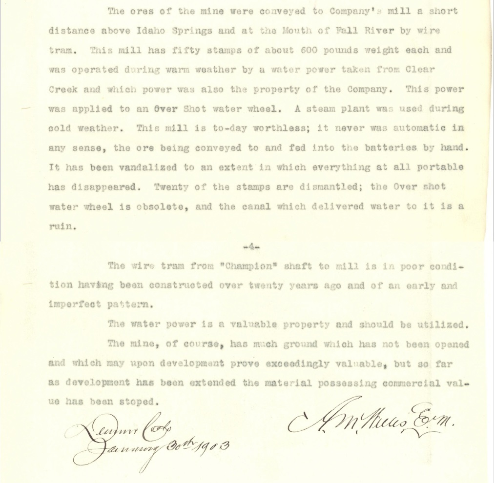
CSM Repository: Champion Mines Report 1903: excerpt.

Lachlan McLean Photo enlargement: detailing the Mill remains around 1905.
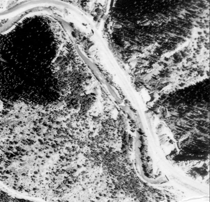
Lachlan McLean Photo enlargement: detailing the Flume remains around 1906.
And that there be the Story, the whole Story, and the Rest of the Story...I be quenched at last.

UpSideDownC
in New Zealand