This is a Sidebar to the previous Threads on the C&S line from the 7th Street Depot to California Gulch and Switchback to the Penrose.
I long have had snippets of info that each on its own generated more questions than answers, as the 3 readers of this will see.

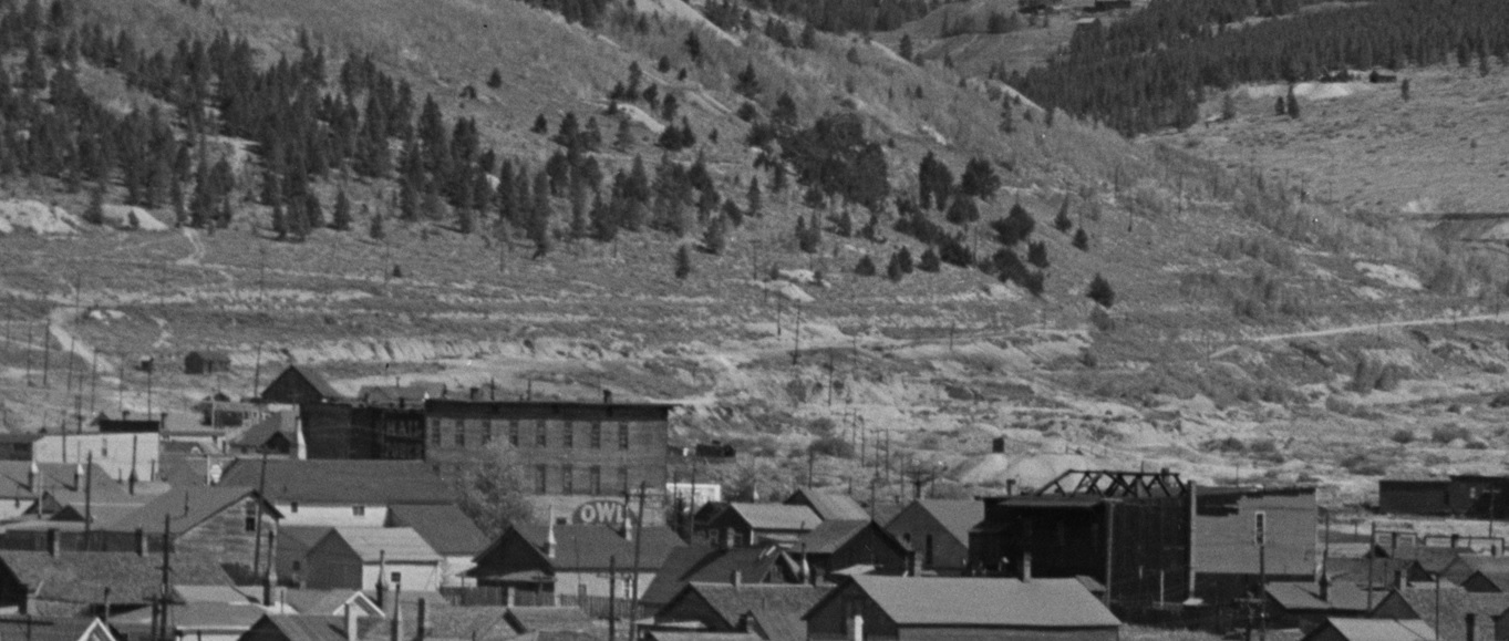
Over 15 years ago my Antique shop friend in California had several photos of "trains" as she put it; did I want them scanned before on-selling(she knew I was tight). Along came one that had just some obvious CM Rly Boxcars in a wasteland setting; I had only a rough idea whereabouts in Leadville it could be, but lacked the companion pieces of the Jigsaw to put together.
The only drawback to that was the several photos sent got downscaled by her email program(we didn't make that mistake again) so the foreground details are a little vague.
One can only base their Writings on what one has found; just when does one stop looking and get it writ? The old Cut Bait or Fish.

In this case I dug further.

Denver Public Library Special Collections Colorado Railroad Museum map
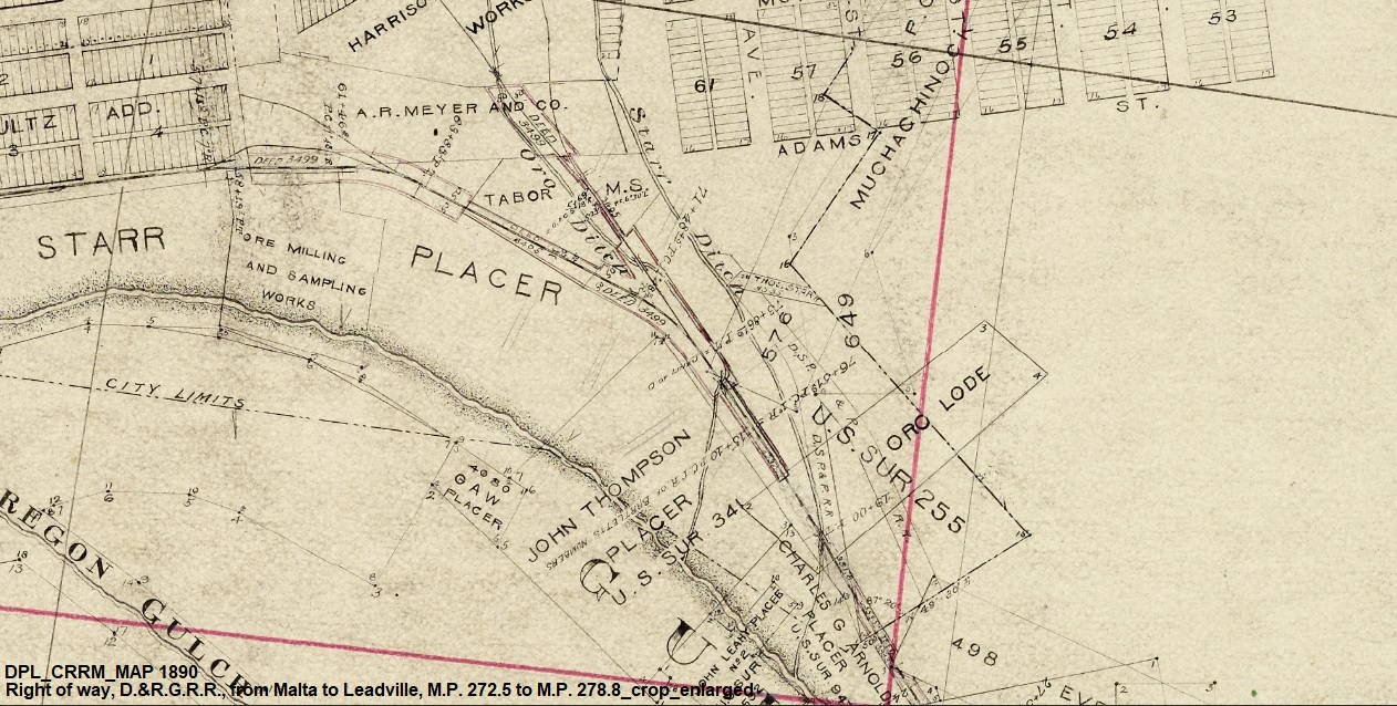
This D&RG Map of 1890 from the CRRM(via DPL) provides a key piece in the Jigsaw: that of the R-O-W notation of the D.S.P.&P. and existence of the ore-loading spur "Team Track".
The earlier D&RG Map of Dec. 1883 posted by Jimmy Blouch: see
http://c-sng-discussion-forum.254.s1.nabble.com/D-amp-RG-Map-Leadville-1883-td16762.htmldoes not show any r-o-w of the D.S.P.&P. on the Thomas Starr Placer grounds(yet shows more trackage inside the Harrison Smelter).
Perusal of the Joint Operating Agreement(1st) draws a blank; however the 2nd J.O.A. does mention "shared facilities"(AI from DRGW.net: just where Nathan Holmes got that from???).
After the Feb. 1884 bust-up, the D&RG locked out the D.S.P.&P. from there, and the Teamsters resorted to wagon haul to the ore-loading tracks above 7th St. Depot.
So does anyone know if the South Park actually took up the Spur(s) or left them in place, or did the D&RG swipe the Rails?

The C&S 1918 valuation still showed the r-o-w of those original Spurs, along with the revised and relocated Penrose Switchback track.
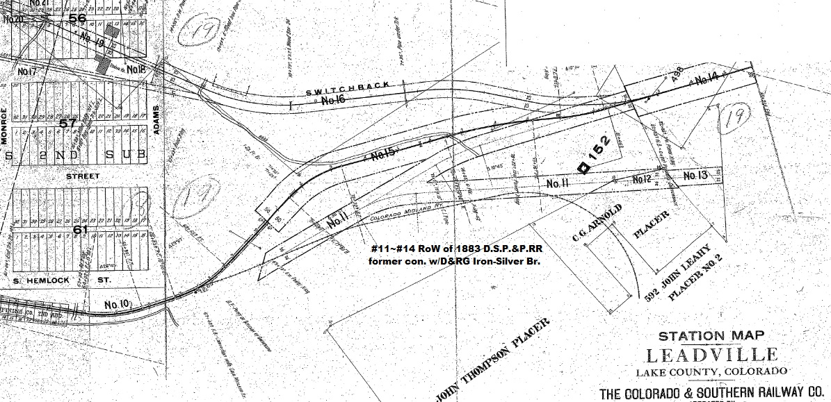
The Ore-loading Spur had disappeared by 1918, but was on the USGS Topo. Map of 1911/rev.1913.
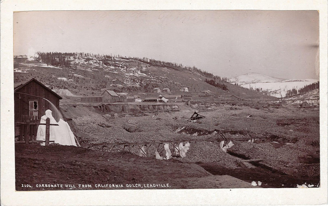
This W.H.Jackson view shows California Gulch with a string of Boxcars on the Iron-Silver Br. set out, or gravity dropped down as far as there.
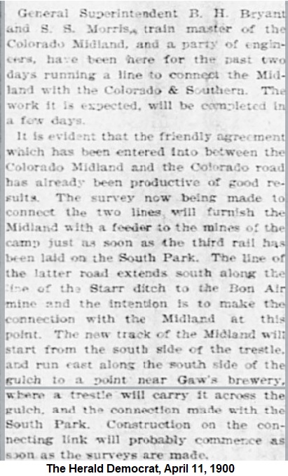
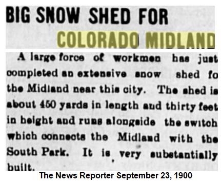
Note the specific mention by the Reporter, of a Trestle crossing Cal. Gulch: more about that further down.

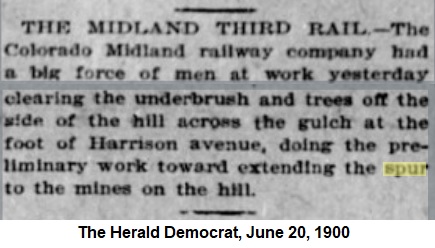
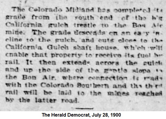
Here's where the published Dates in the Newspapers of the time just don't add up. I read those as that the CM Connector was before the Penrose Switchback, but this image doesn't support that.
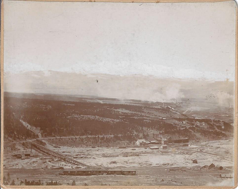
There is no California Gulch Mine(started 6-1900) between Gaw's Brewery and the Starr Flume, nor any obvious modification to the wooden Flume structure either, yet clearly there is a 3-rd rail to get those CM Rly. Boxcars to that spot, along with one n.g. Box, maybe UP. There are 2 lines in the foreground that appear just where the C&S switchbacked to the Penrose, but again due to the reduced image quality....

I have never come across this image anywhere else....anyone?
Lake County Public Library image 00055

Cross-referenced image from at the end of Harrison Ave looking over the Iron-Silver Br, now 3-railed and maybe called the California Gulch Br.(if after 1904?). Note CM Rly Gons on the Team track, and a small gable building between the Cal, Gulch(shaft) Powerhouse and the Brewery; that is in both images.
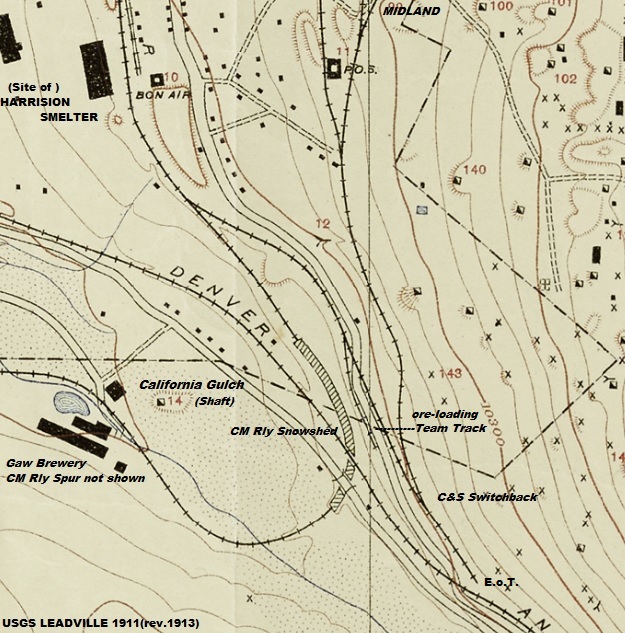
More on the Midland and some corroborating evidence that the Reporter got wrong(looked up the Gulch, saw the Starr Flume, and called it done!), which in turn caused E.J.Haley to draw a overpass by the CM on his Leadville 1905 map Historical map, compiled to accompany Colorado Midland by Morris Cafky (Rocky Mountain Railroad Club, 1965).
This error was perpetuated in later published Books on Leadville.
Hence it was this clipping that verified the USGS Topo's depiction of a Snowshed at that location, confirmed by similar sheds drawn in on the D&RG Ibex Br.
Lake County Public Library image.
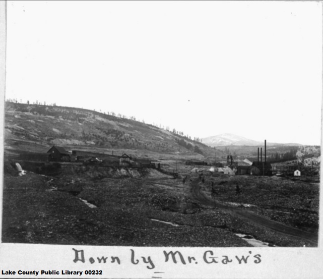
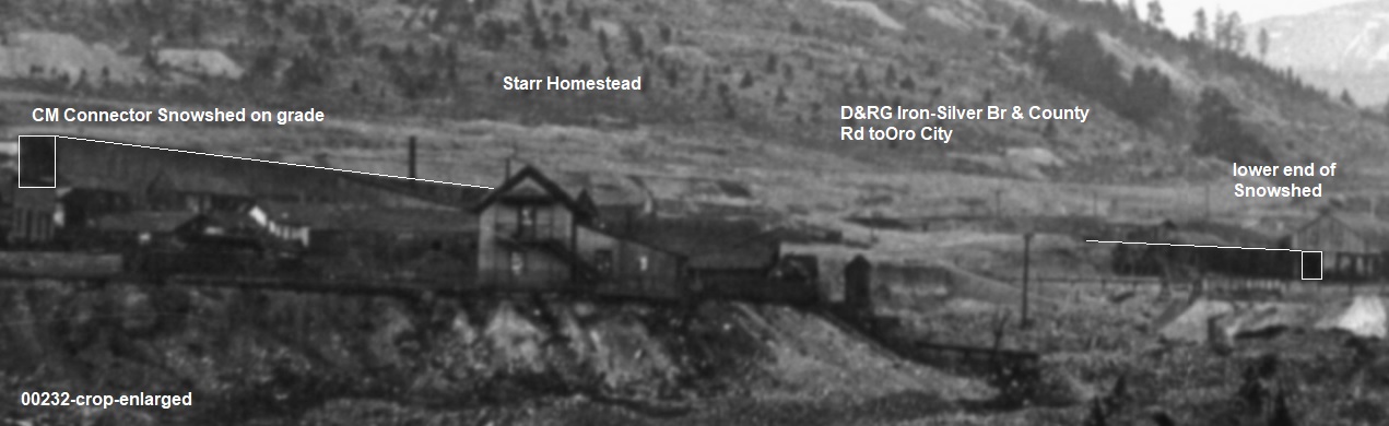
Lake County Public Library image 01211.
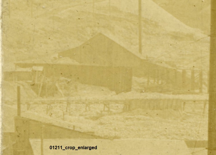
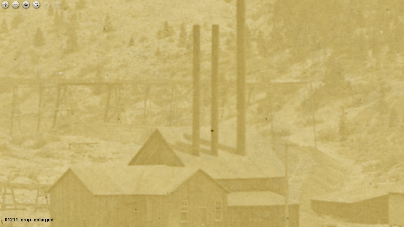
Looking past the Cal. Gulch Shaft to view the distinctive CM Rly. Steel trestle inserted into the Starr Flume.
Lake County Public Library image 01211
Denver Public Library X-6319
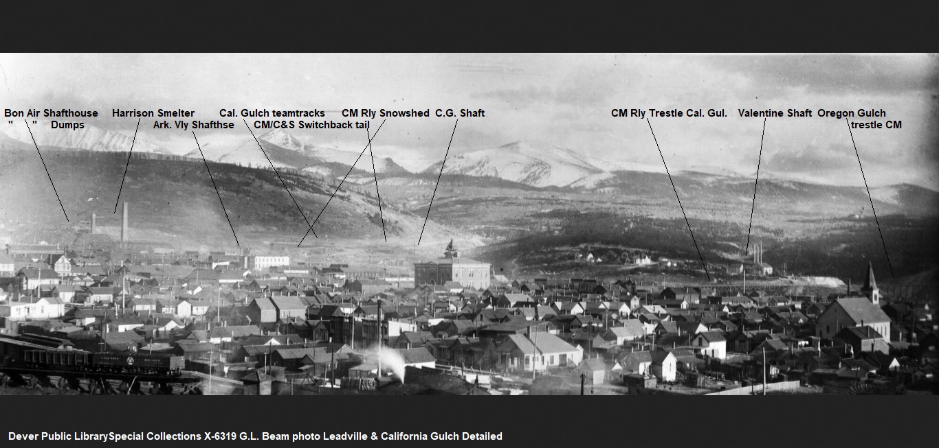
There you have it!
UpSideDownC
in New Zealand


 Locked