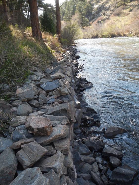
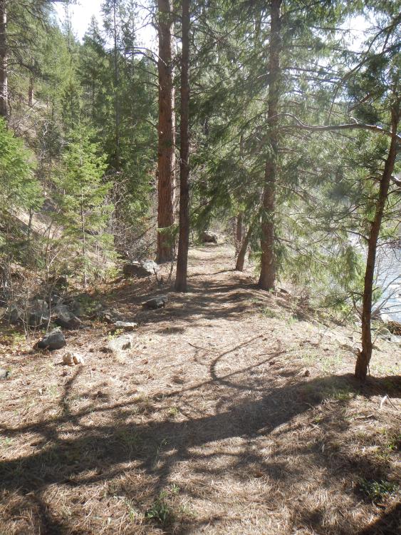
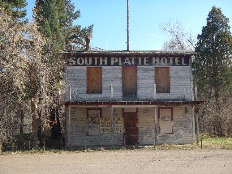
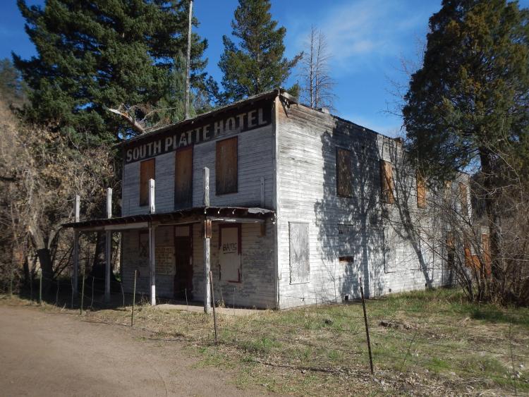
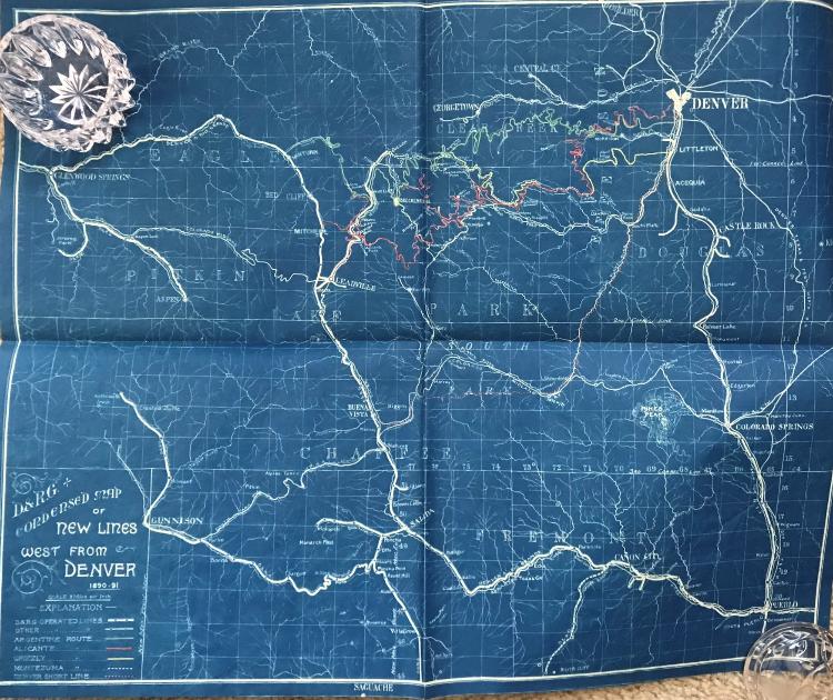
D&RG Grading Through Platte Canyon...

12

12
Re: D&RG Grading Through Platte Canyon...

|
Re: D&RG Grading Through Platte Canyon...
|
|
Re: D&RG Grading Through Platte Canyon...
|
|
Re: D&RG Grading Through Platte Canyon...
|
|
Re: D&RG Grading Through Platte Canyon...
|
|
Re: D&RG Grading Through Platte Canyon...
|
|


Re: D&RG Grading Through Platte Canyon...
|
|

Re: D&RG Grading Through Platte Canyon...
|
|
Re: D&RG Grading Through Platte Canyon...
|
|
Re: D&RG Grading Through Platte Canyon...
|
|


Re: D&RG Grading Through Platte Canyon...
|
|
Re: D&RG Grading Through Platte Canyon...
|
|
Re: D&RG Grading Through Platte Canyon...
|
|


Re: D&RG Grading Through Platte Canyon...
|
|
Re: D&RG Grading Through Platte Canyon...
|
|
Re: D&RG Grading Through Platte Canyon...
|
|
Re: D&RG Grading Through Platte Canyon...
|
|


 <
<

Re: D&RG Grading Through Platte Canyon...
|
|
| Free forum by Nabble | Edit this page |