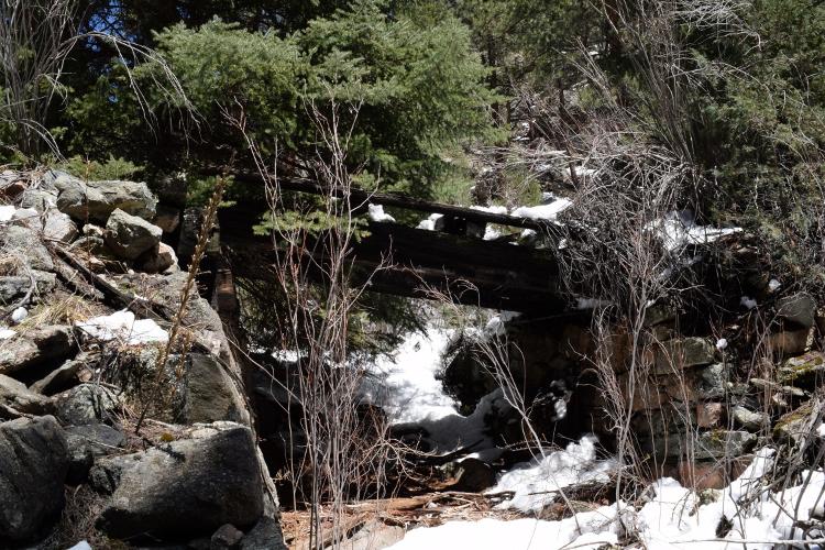
C&S Landscape Shots

12

12
C&S Landscape Shots

|
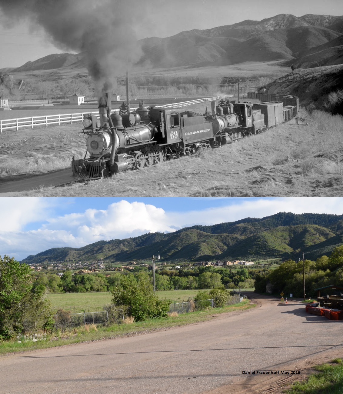
Re: C&S Landscape Shots
|
|
Re: C&S Landscape Shots
|
|

Re: C&S Landscape Shots
|
|
Re: C&S Landscape Shots
|
|
Re: C&S Landscape Shots
|
|
Re: C&S Landscape Shots
|
|
Re: C&S Landscape Shots
|
|

Re: C&S Landscape Shots
|
|
Re: C&S Landscape Shots
|
|
Re: C&S Landscape Shots
|
|
Re: C&S Landscape Shots
|
|
Re: C&S Landscape Shots
|
|

Re: C&S Landscape Shots
|
|
Re: C&S Landscape Shots
|
|
Re: C&S Landscape Shots
|
|
Re: C&S Landscape Shots
|
|
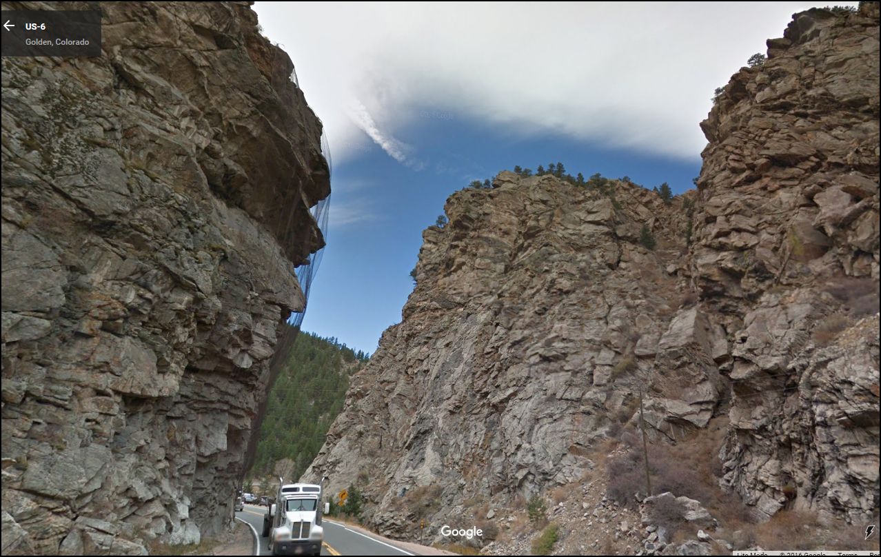
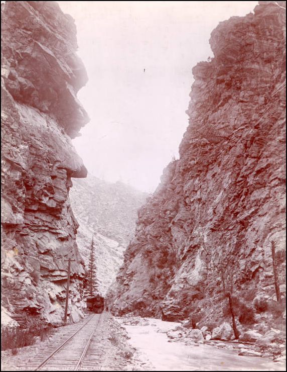
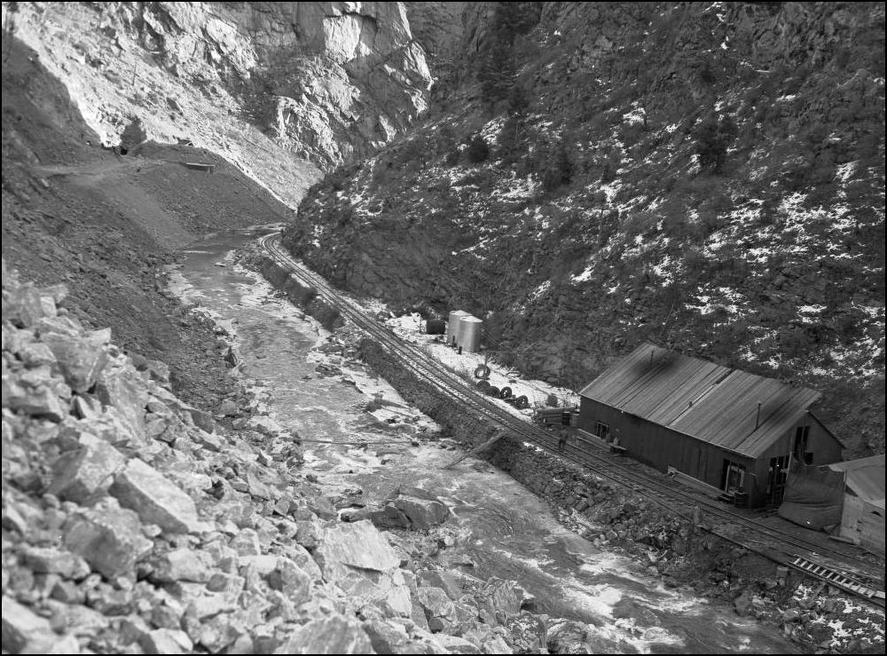
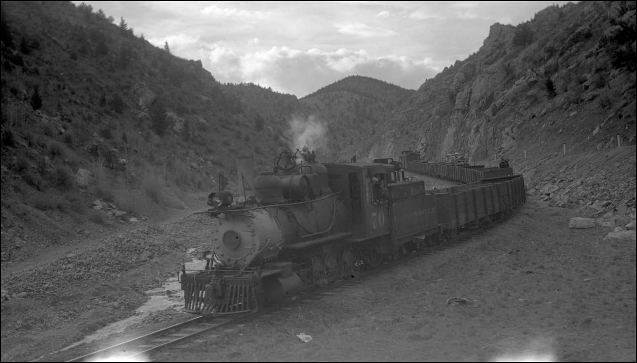
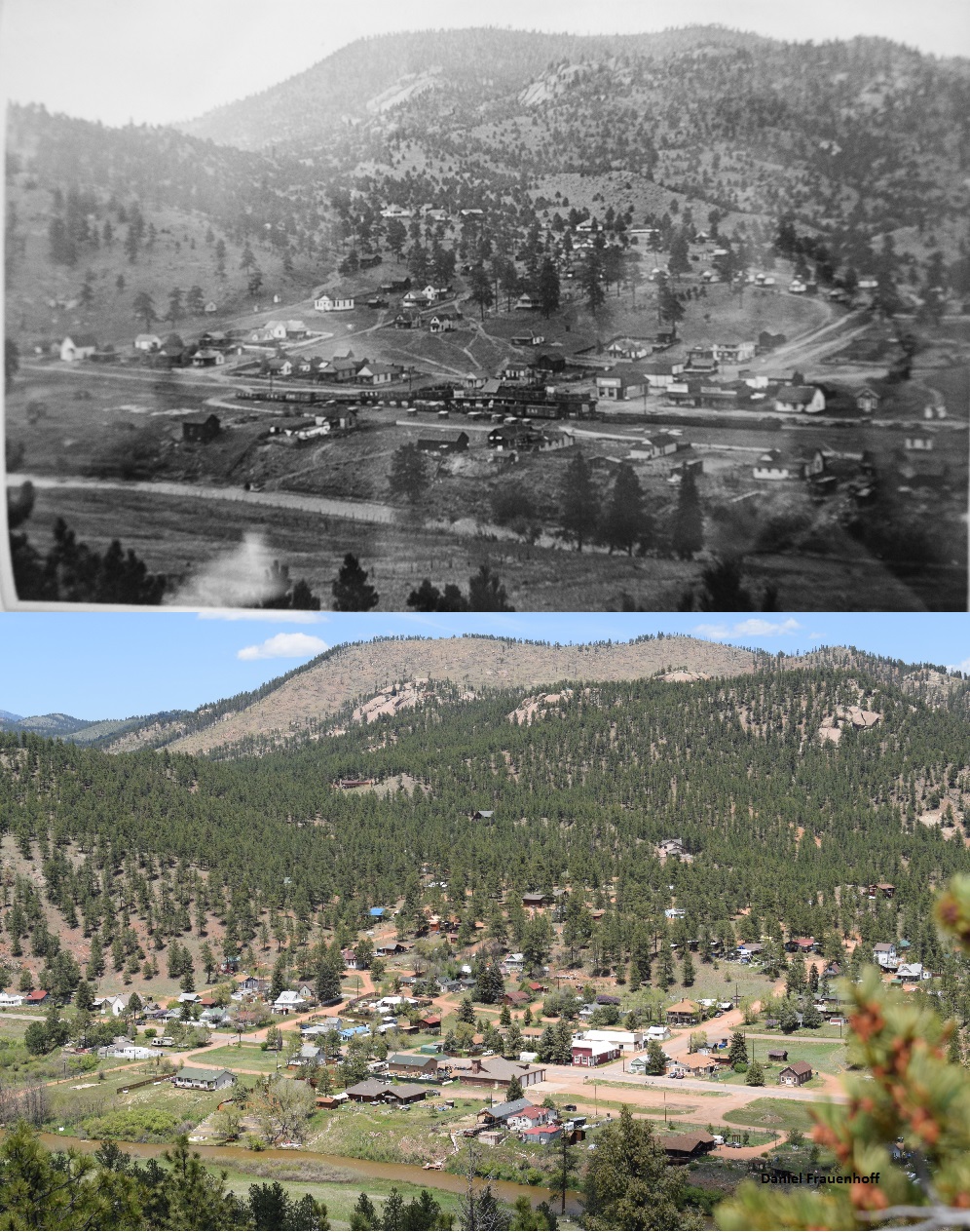
Re: C&S Landscape Shots: Below Blackhawk.
|
|

Re: C&S Landscape Shots: Below Blackhawk.
|
|
Re: C&S Landscape Shots: Below Blackhawk.
|
|
| Free forum by Nabble | Edit this page |