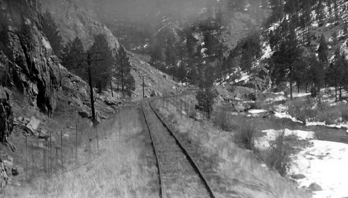
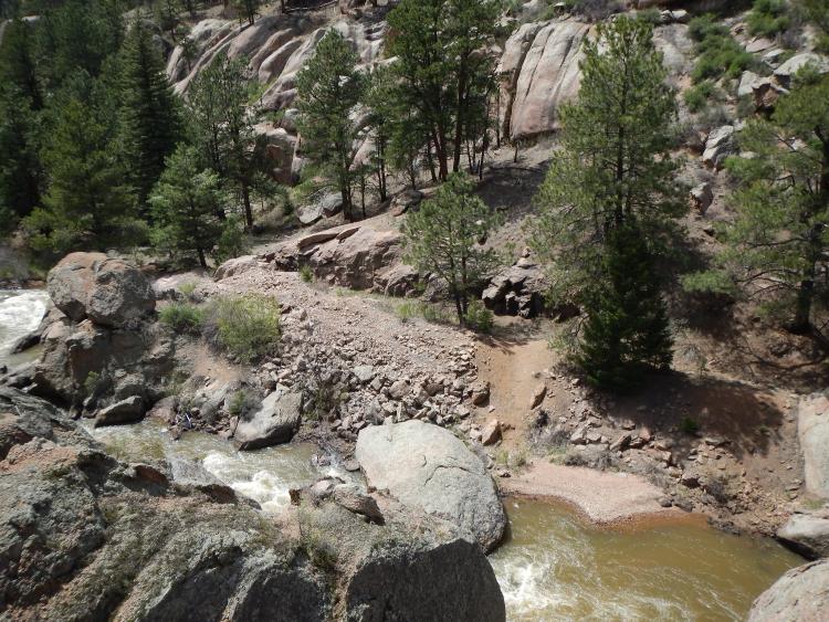
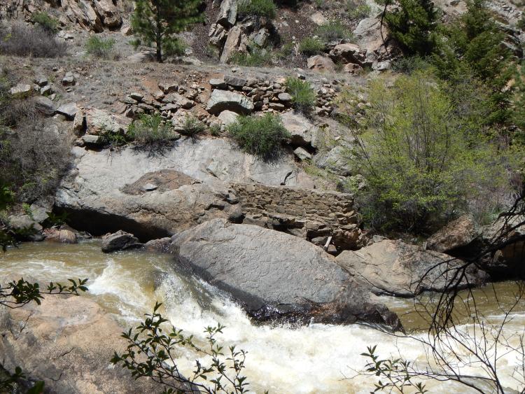
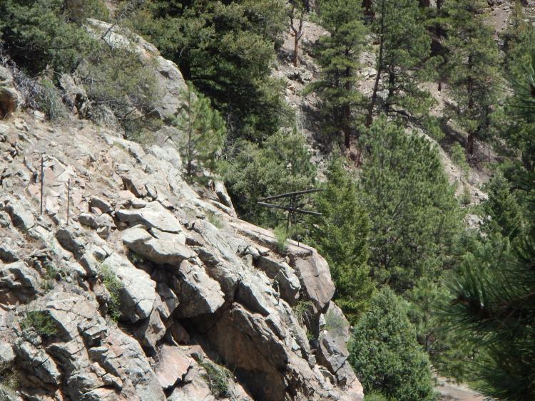
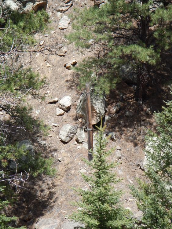
The Best Preserved Stretches of C&S ROW

123

123
The Best Preserved Stretches of C&S ROW

|


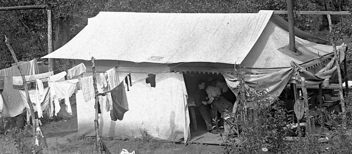
Re: The Best Preserved Stretches of C&S ROW
|
|
Re: The Best Preserved Stretches of C&S ROW
|
|

Re: The Best Preserved Stretches of C&S ROW
|
|
Re: The Best Preserved Stretches of C&S ROW
|
|
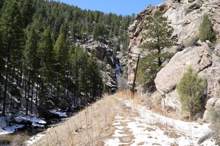
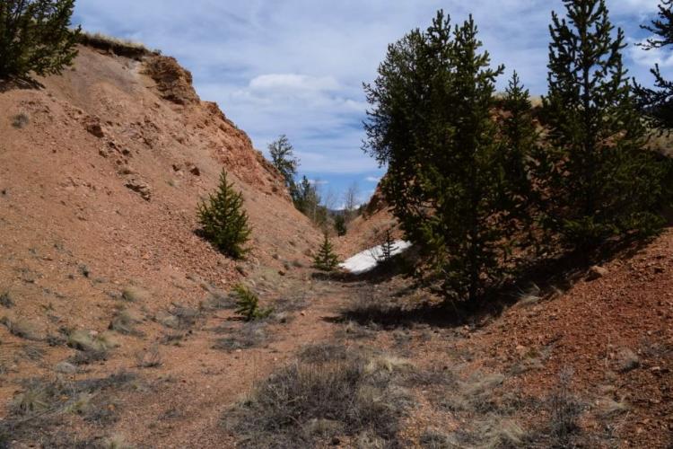
 Hmmm . . . "bush wacking through 1.5 miles of forest" . . . "fording the river" . . . perhaps I'll just depend on you for color views of Estabrook Canon!
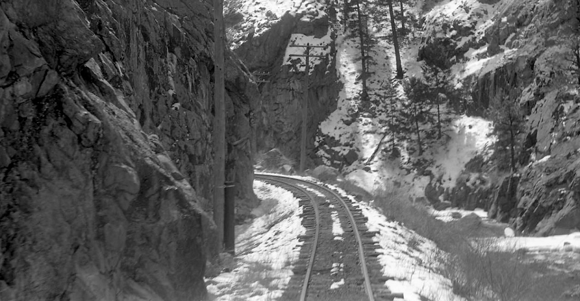


Re: The Best Preserved Stretches of C&S ROW
|
|
Re: The Best Preserved Stretches of C&S ROW
|
|

Re: The Best Preserved Stretches of C&S ROW
|
|
Re: The Best Preserved Stretches of C&S ROW
|
|

Re: The Best Preserved Stretches of C&S ROW
|
|


Re: The Best Preserved Stretches of C&S ROW
|
|
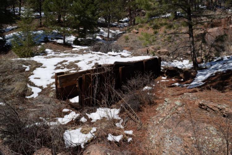
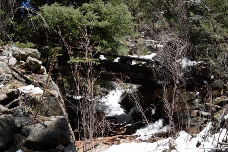
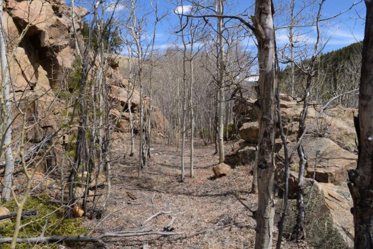
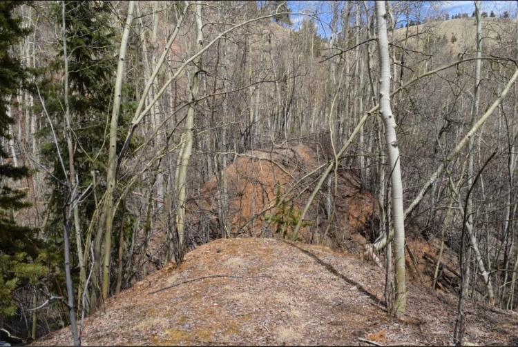
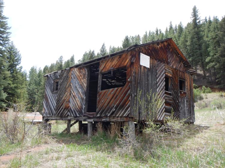
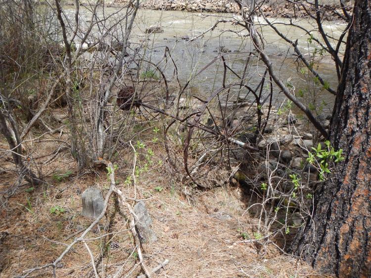
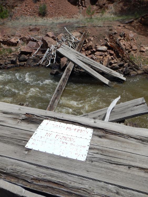
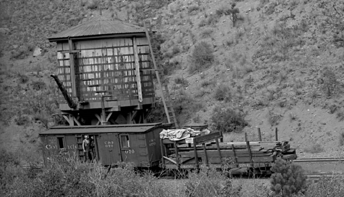
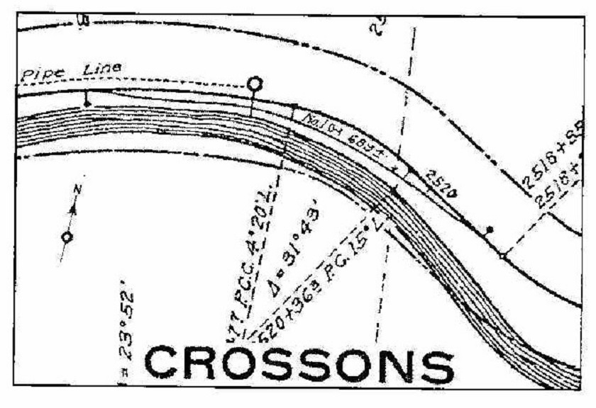
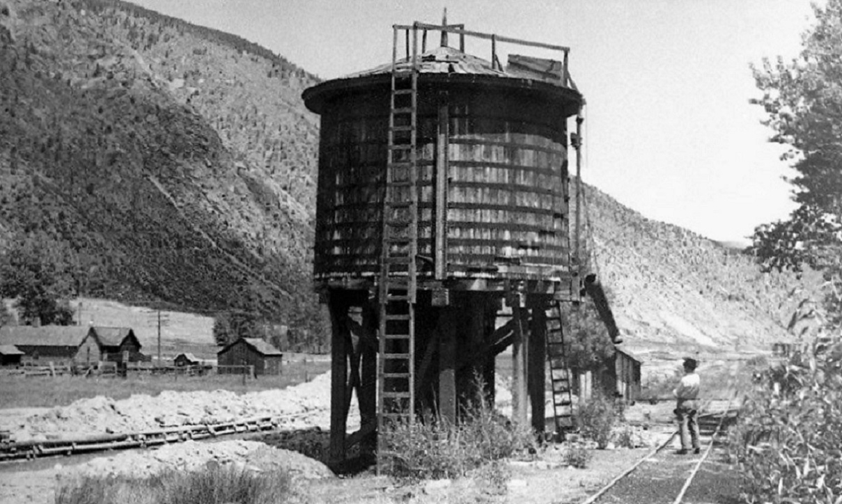
Re: The Best Preserved Stretches of C&S ROW--Crossons
|
|

Re: The Best Preserved Stretches of C&S ROW--Crossons
|
|
Re: The Best Preserved Stretches of C&S ROW--Crossons
|
|
Re: The Best Preserved Stretches of C&S ROW--Crossons
|
|
Re: The Best Preserved Stretches of C&S ROW--Crossons
|
|
Re: The Best Preserved Stretches of C&S ROW--Crossons
|
|
Re: The Best Preserved Stretches of C&S ROW--Crossons
|
|

Re: The Best Preserved Stretches of C&S ROW--Crossons
|
|

Re: The Best Preserved Stretches of C&S ROW--Crossons
|
|
| Free forum by Nabble | Edit this page |