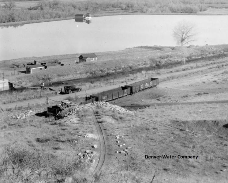
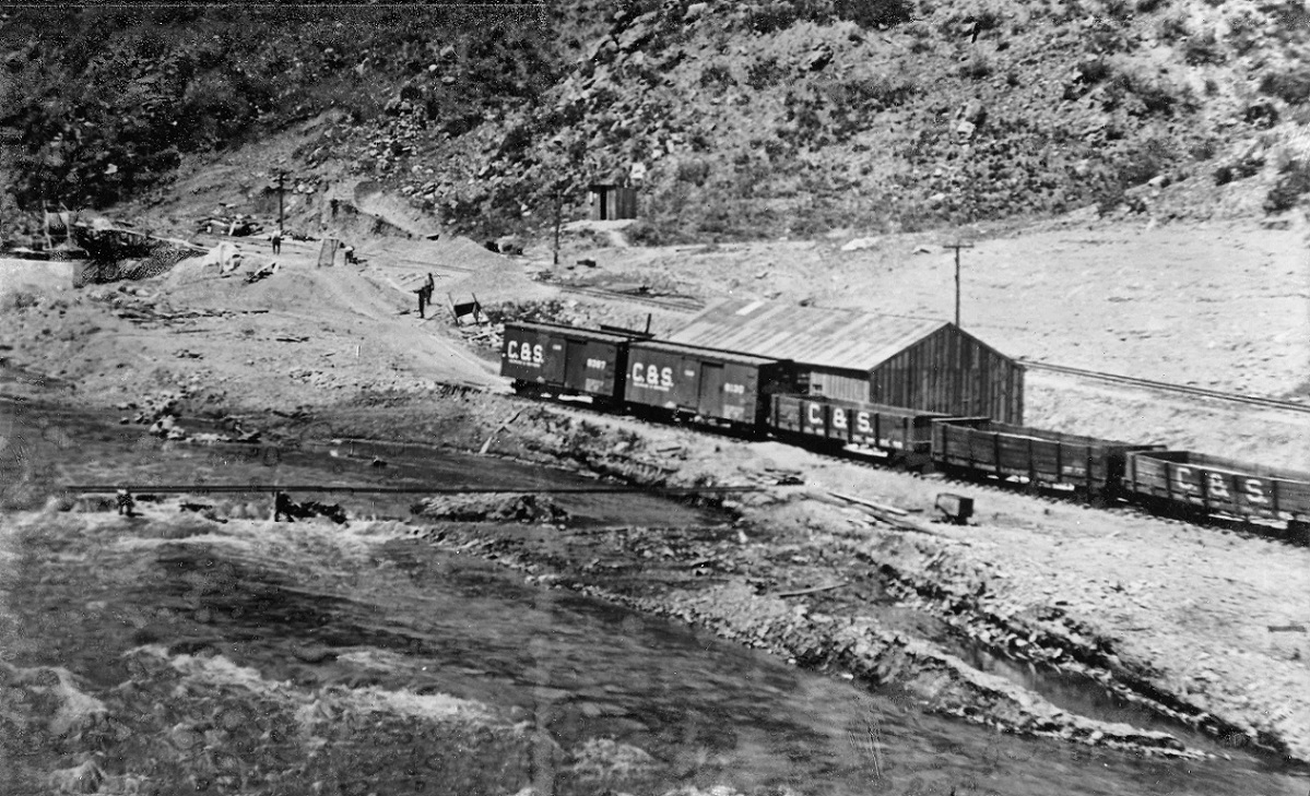
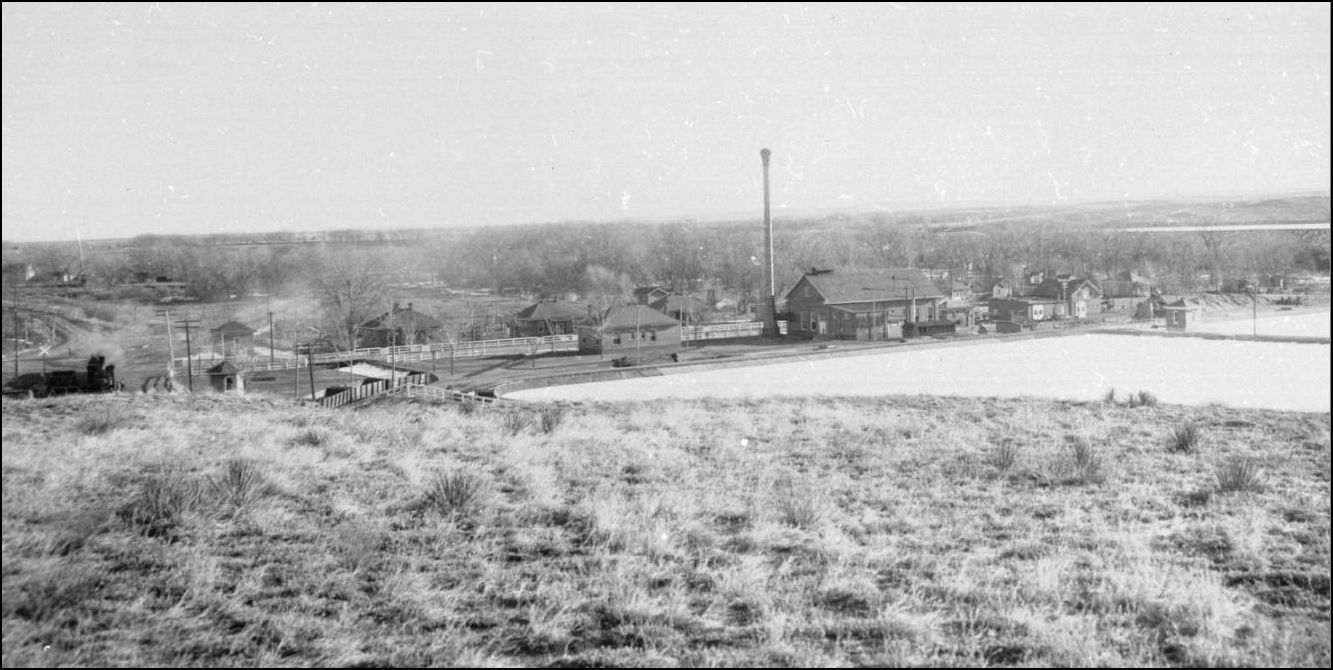
It's chilly and snowing today here in SW Littleton on the old Silica Branch, so I'm downstairs working on finishing up the homasote roadbed so I can put ties down and start laying track on my extra-condensed version of the Branch. While researching the landforms and details of the quarry area I decided to download the high resolution version of the picture Jeff posted above from the DPL collection.
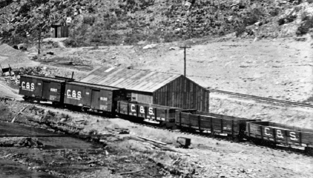
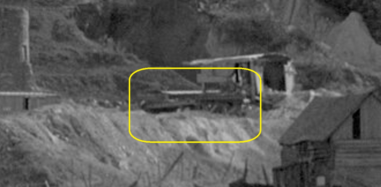
Once I zoomed in and began to wonder what that strange white shape that looks like the end of a gutted passenger car (or steam shovel carcass?), I looked to the left of it and a structure jumped out at me immediately in the closeup. I said to myself, "holy crap, that's the loading ramp right there!!"
This leads me to think that's the reason that they relocated the southeastern spur away from being parallel to the track next to the tailings pile and closer to the kiln core - to make room for a ramp once quarrying operations took over after the brick company closed down. That and the diverging track also provides room for access to both sides of rolling stock for a team track. And maybe for loading box cars with what appears to be a shiny bulk materials loading cyclone gizmo that others have speculated here was for loading grain - or something.
I drew a rectangle around it here:
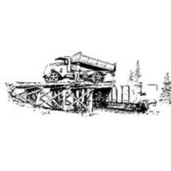
It looks to be of similar construction to the one that was used on Marshall Pass and was produced in HO kit form by Durango Press.
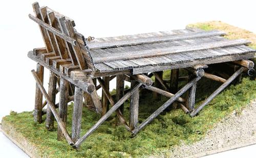
I've ordered an HO version for the plans, which I'll use as a rough basis for my 1:48 version of the ramp with the dirt mound leading up to it. I don't see a fold-down extension like the kit has, but I'll bet that the end of the ramp was built closer - maybe within 18" or even a foot - of the edge of the coal cars - since only that type of car had to pass it in a straight line, rather than having wider locomotives and long passenger cars potentially passing through like the ramp on Marshall.
The a-ha moment gave me goosebumps, and once I get thos spurs put in, I'm looking forward to building it. Gotta bash myself a Bulldog dumptruck with an old Ertl chassis and a resin dump bed now... :)
Norm in Littleton, CO
- on the C&S Silica Branch