Help with locations - South Platte Canyon to Leadville
Help with locations - South Platte Canyon to Leadville
|
Any ideas on where these were taken? I believe all are from a trip to Leadville and back in December 1936. If that's true, then the ones with more snow are likely to be higher and farther west. I've included some guesses, but haven't really taken the time to follow up. I have identified a lot of other photos from the trip, but need to move onto more scanning and other things. There are other photos in the group that I may need help with, but they probably aren't from the same trip.
04: 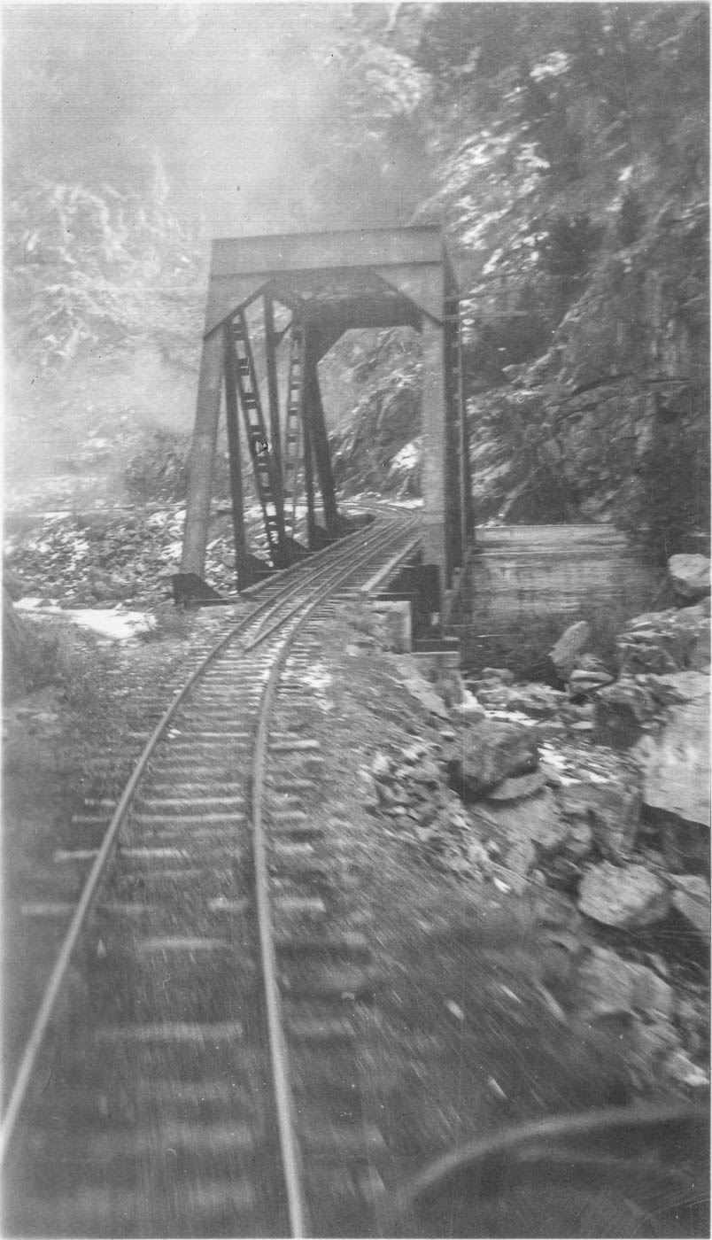 06: 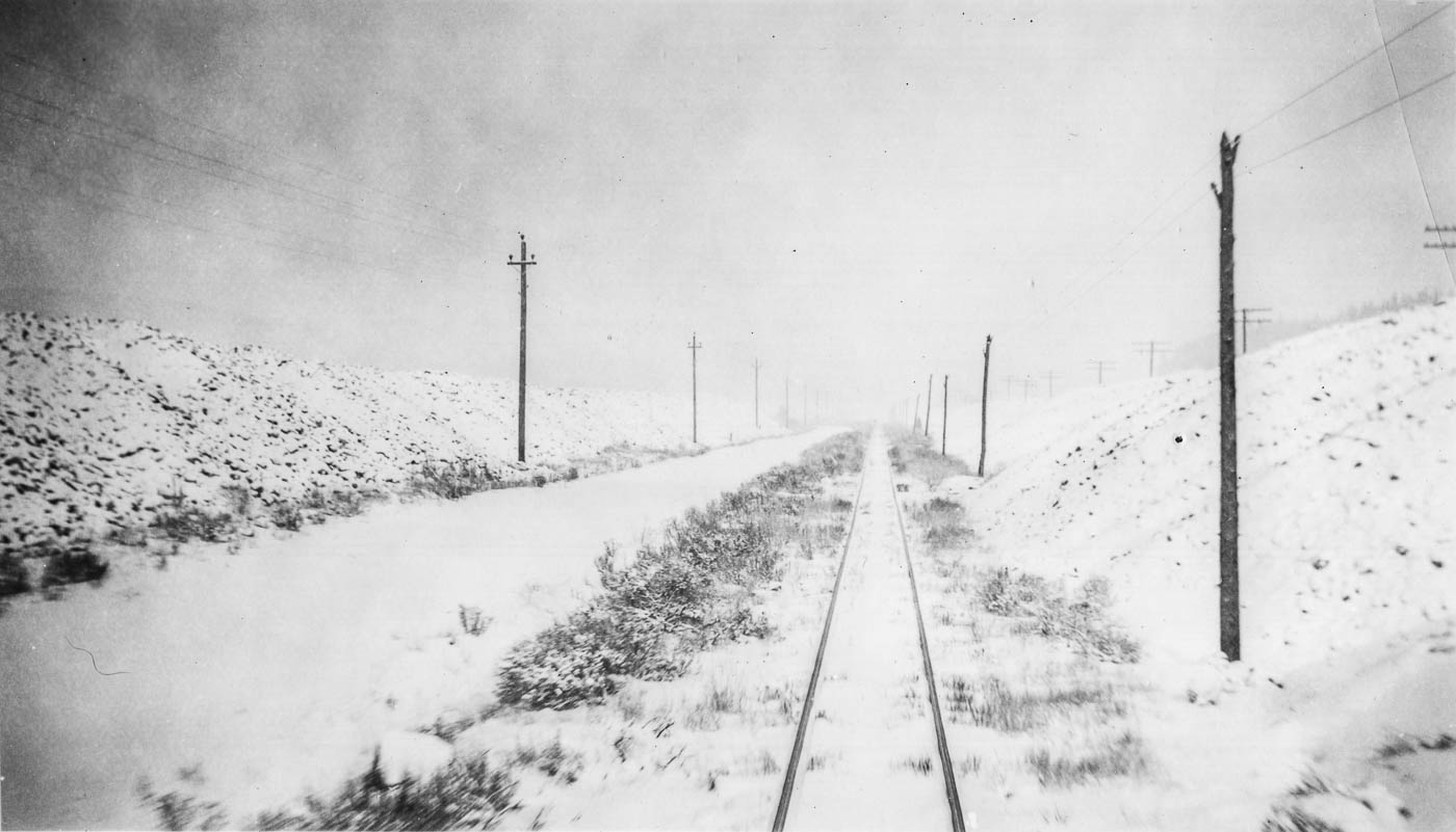 10: 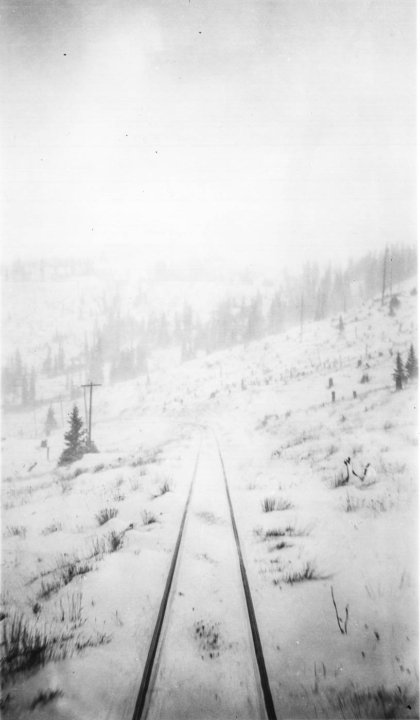 12 - Probably in South Park: 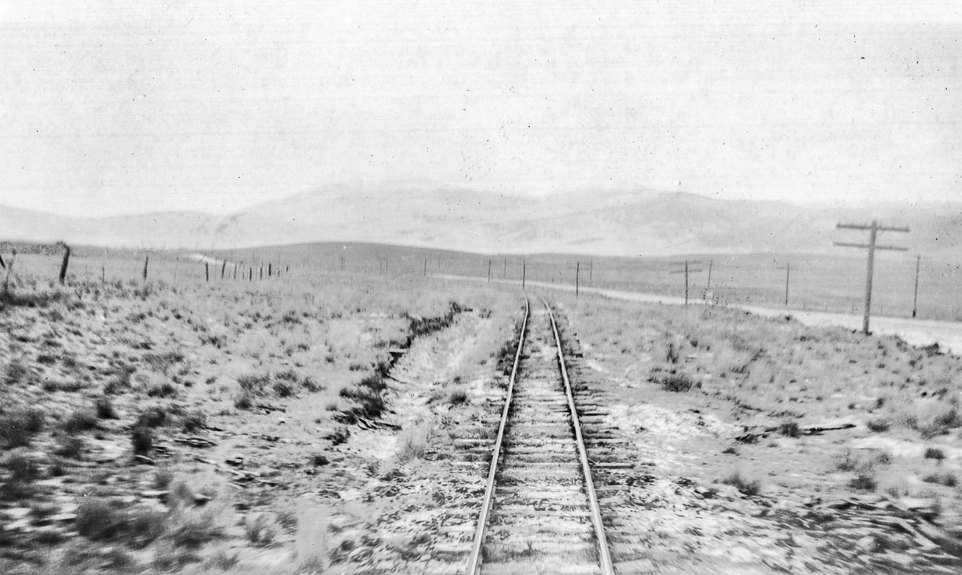 13: 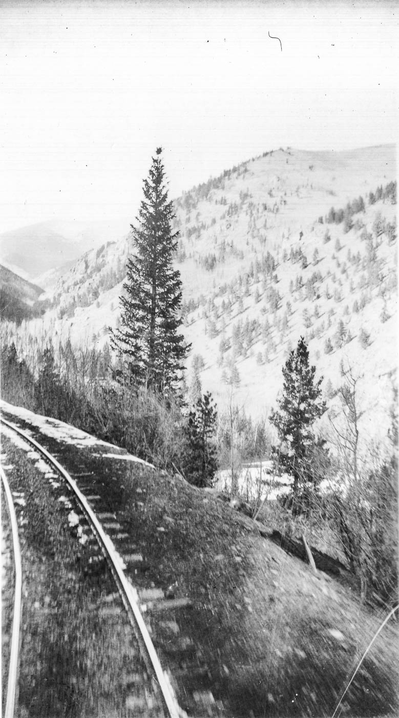 14 - Maybe near Boraeas Pass? 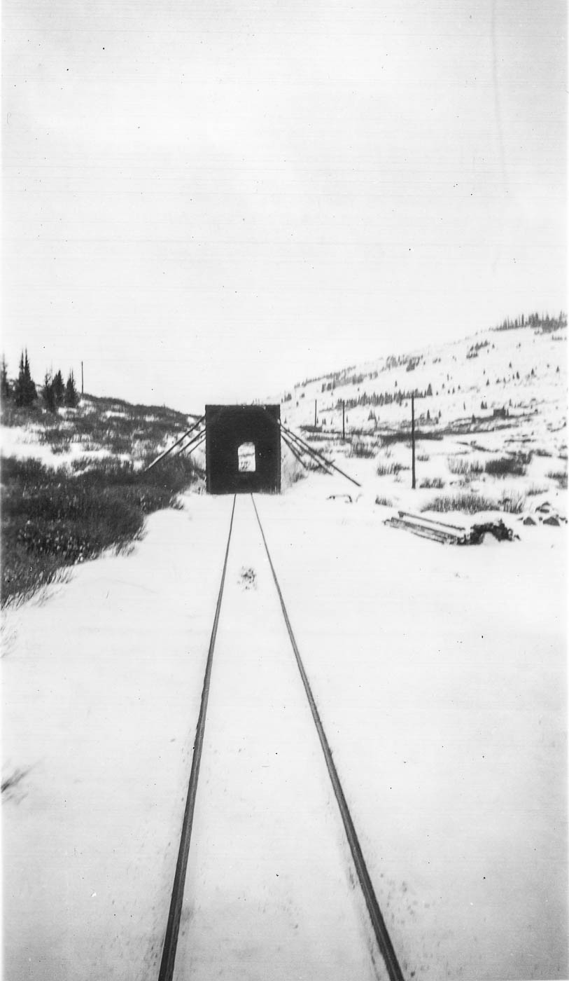 18 - Probably South Park again, but I'm not sure where: 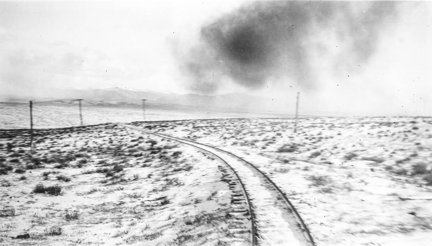 19 - Maybe looking down on Webster, but if so it's too high to get a good match from Street View, and doesn't match up too well to old photos from up on the hill: 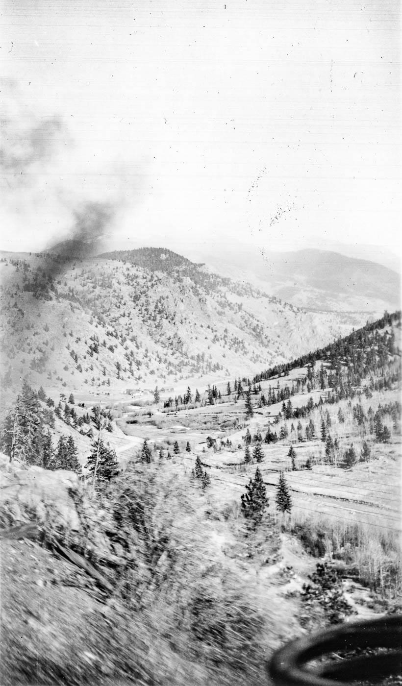 20: 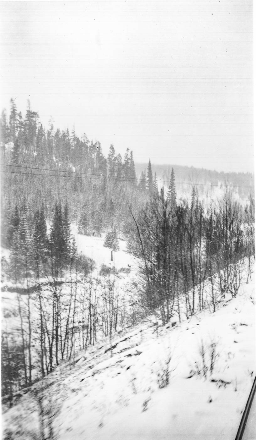 21: 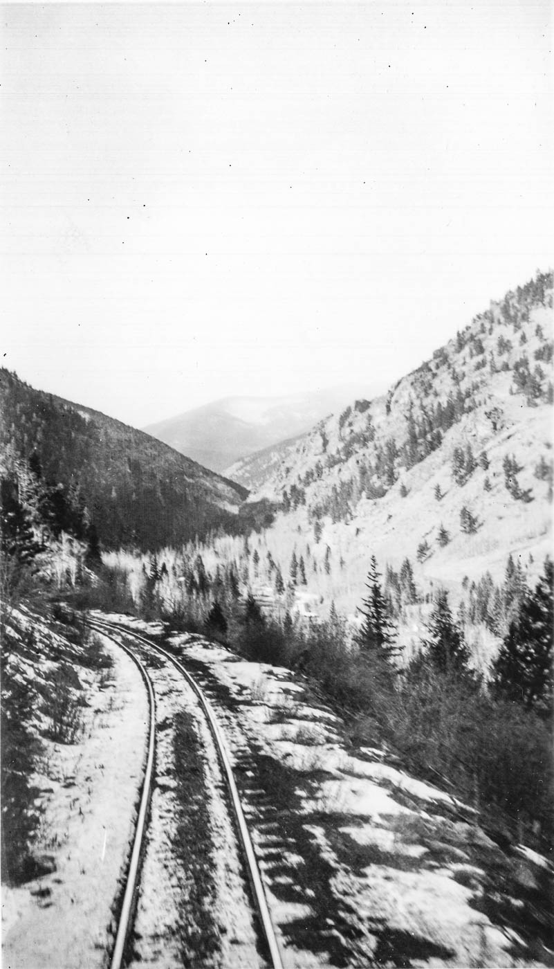 22: 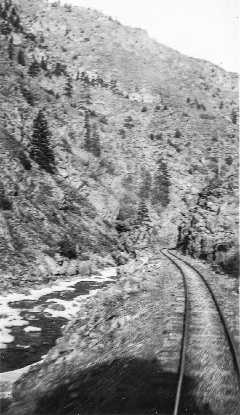 23: 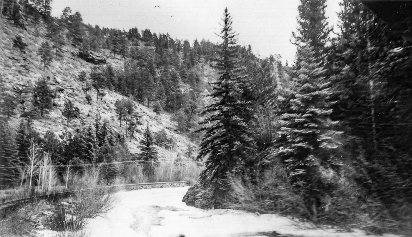 24 - maybe near Boreas summit?: 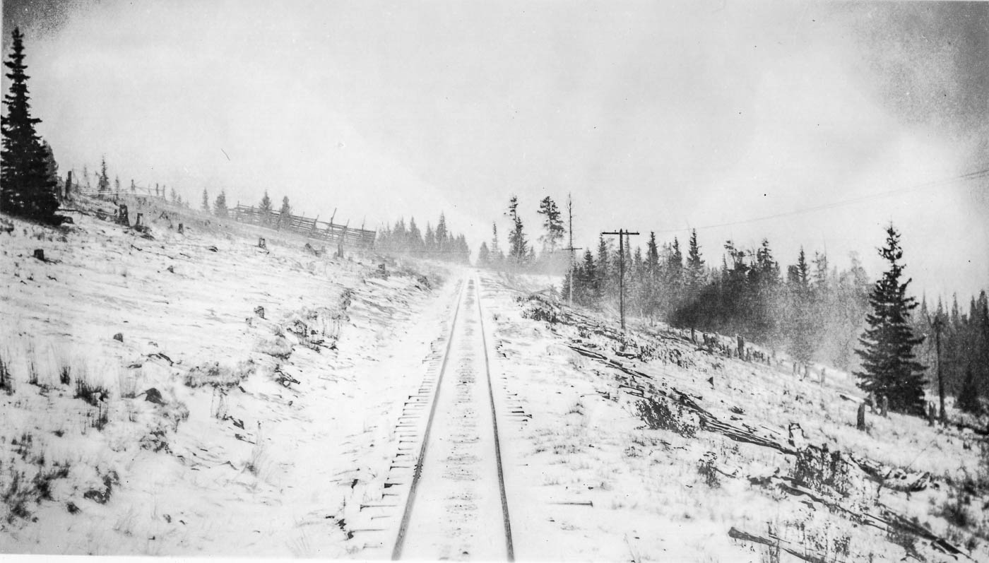 25: 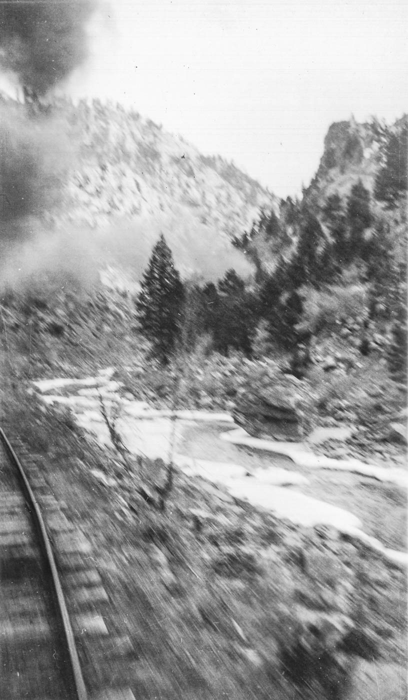 26: 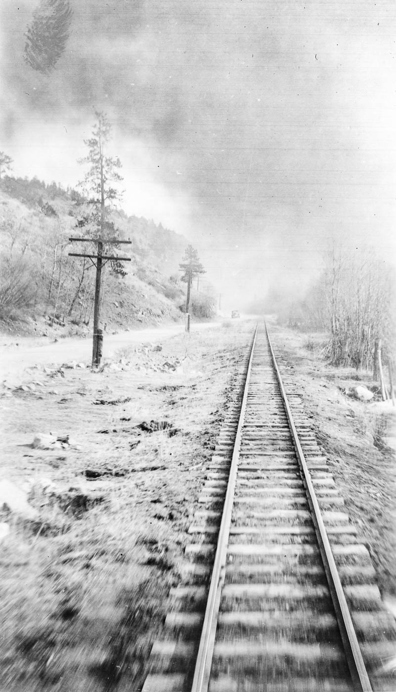 27: 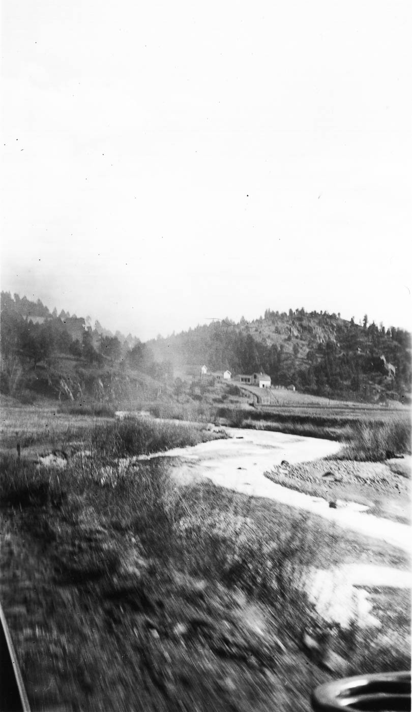 28 - maybe above Breckenridge?: 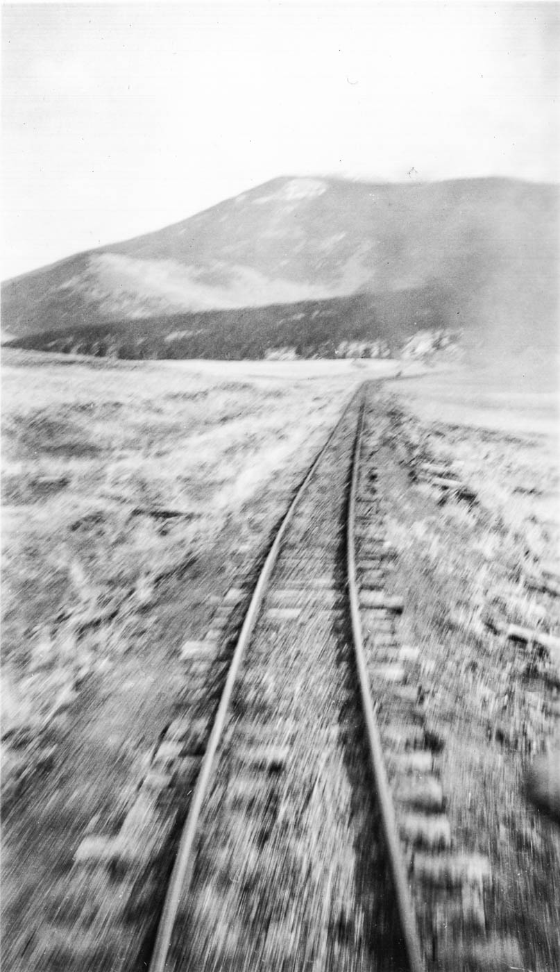 30: 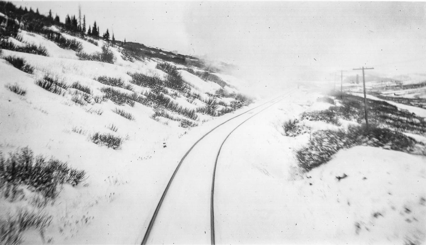 32: 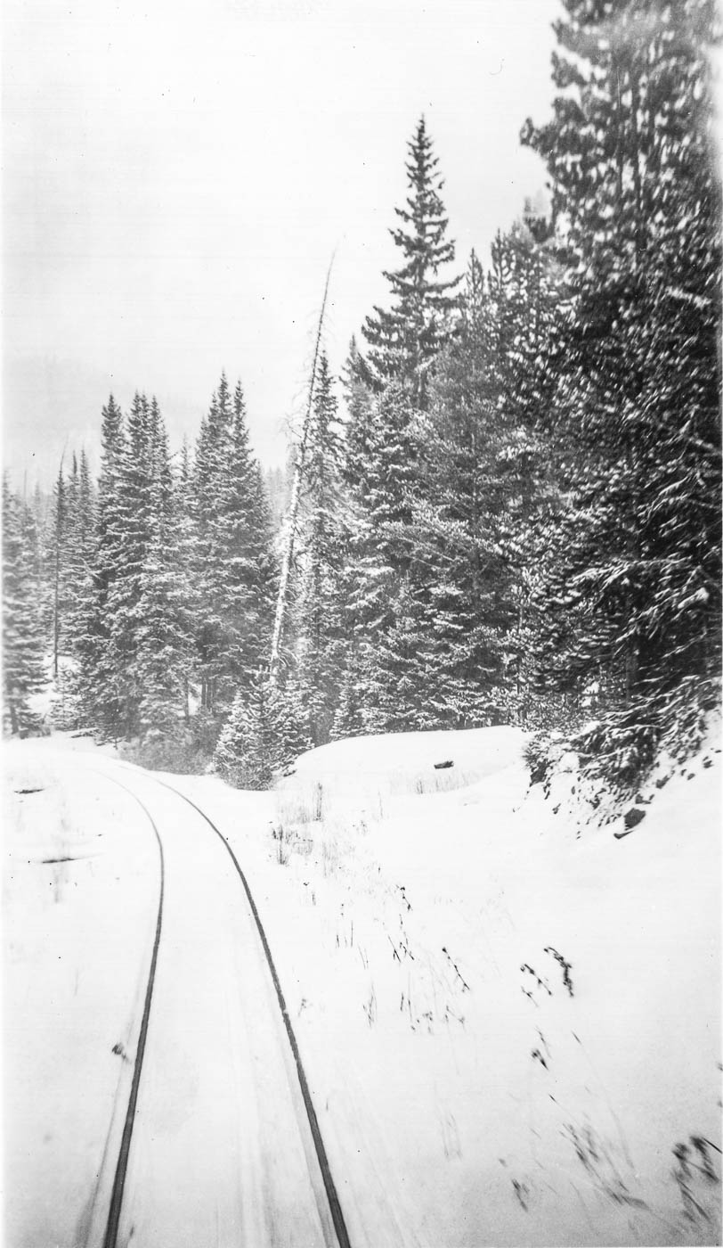 60: 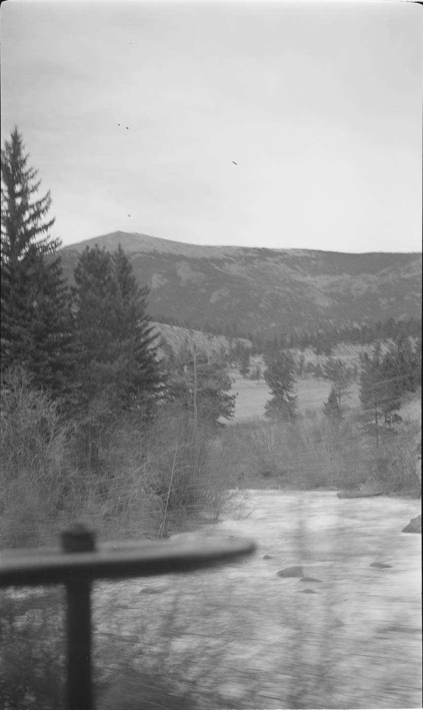 64 - Webster maybe? Did Webster's tank have round legs? 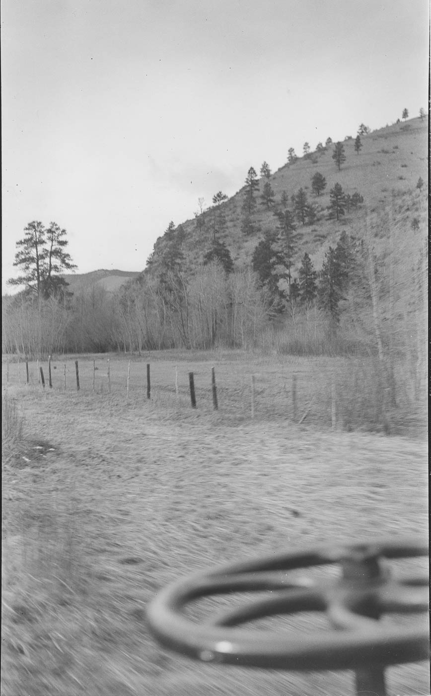 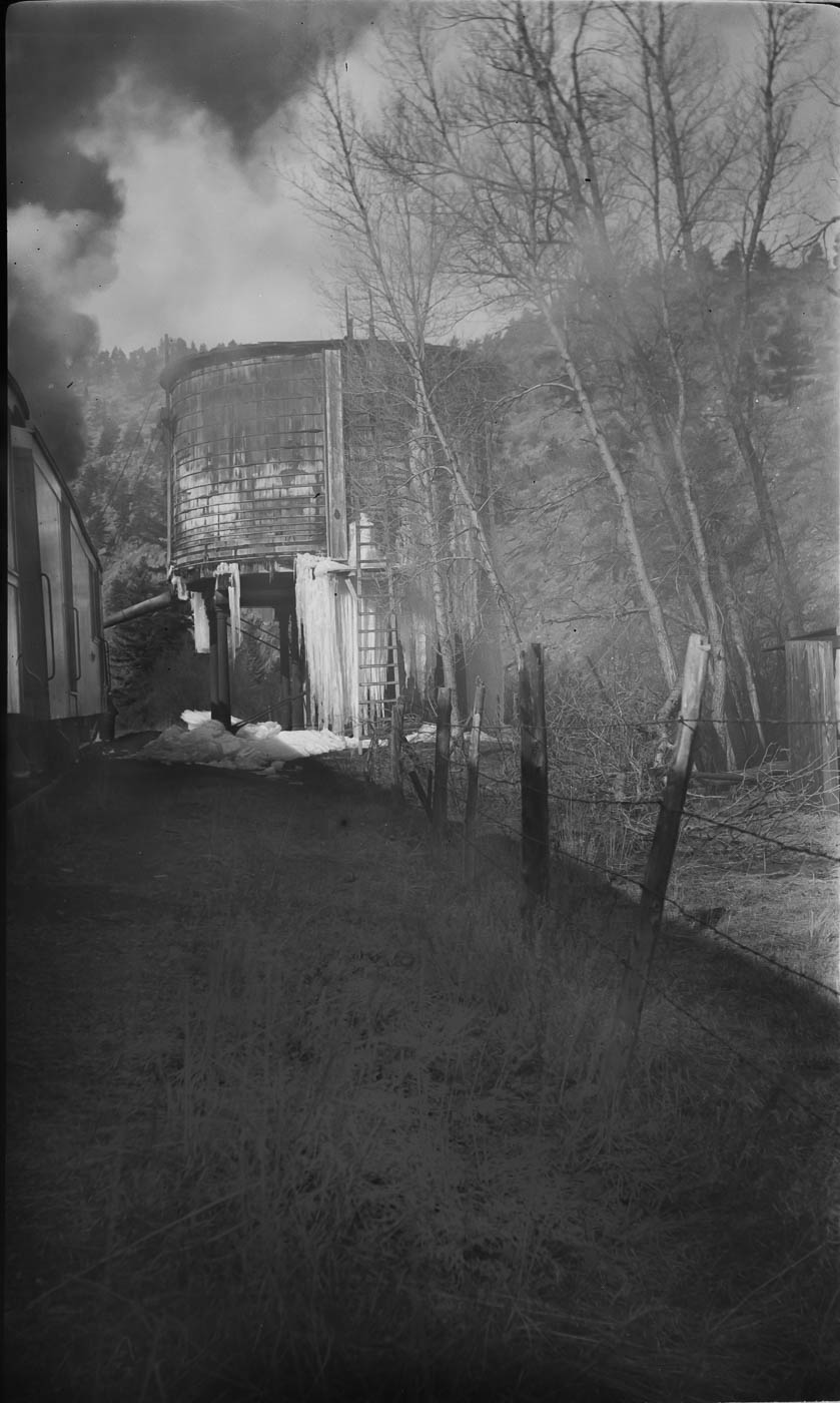 65 - Probably the same tank from the other direction: 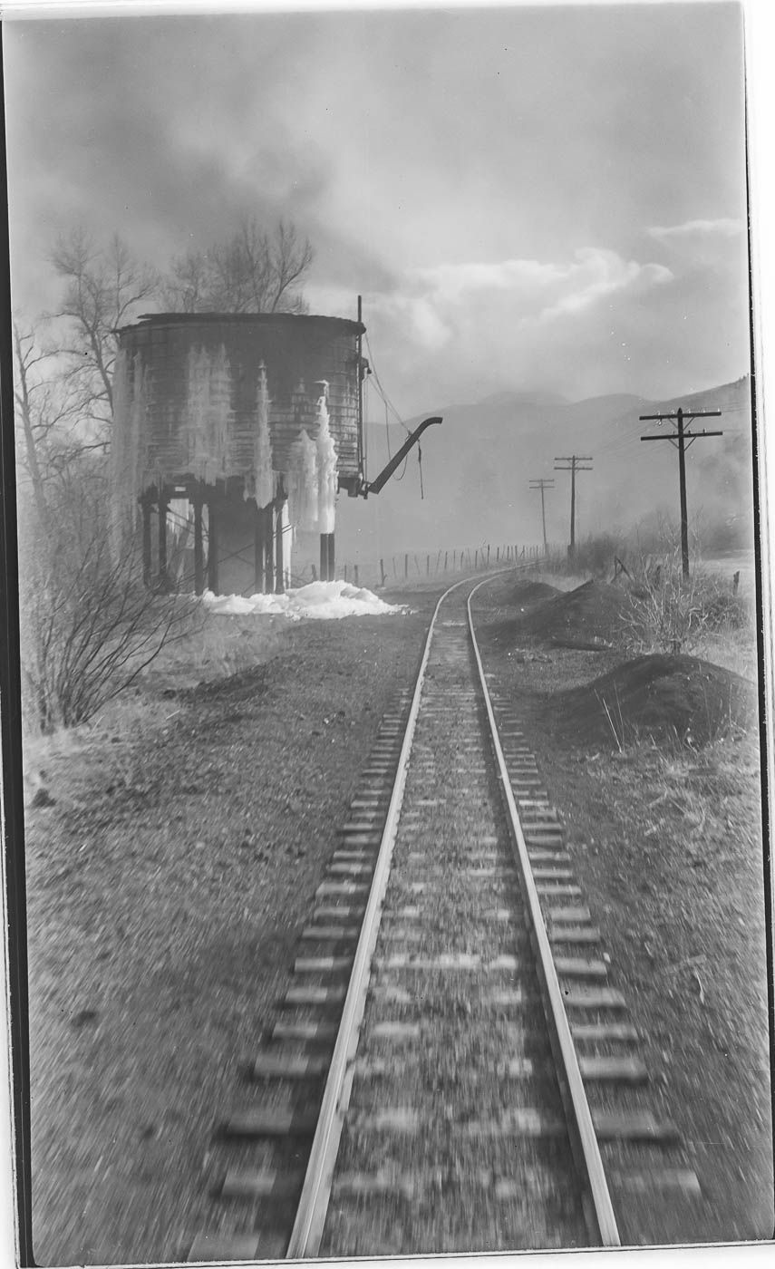 66 - I with they took a photo of the other side of that sign: 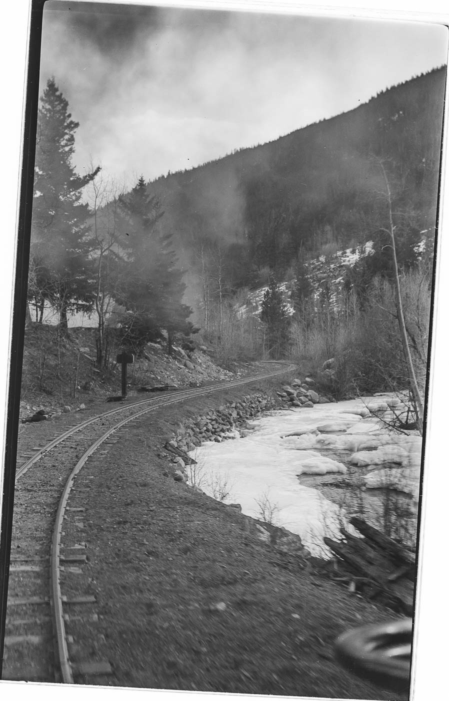 69 - Maybe just below Webster? 69 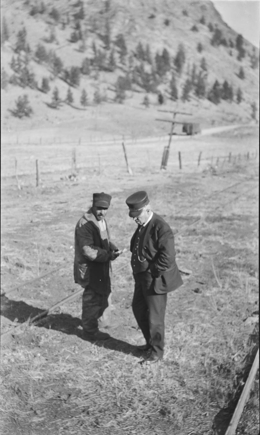
|
Re: Help with locations - South Platte Canyon to Leadville
|
I can name most of them.
04 - Deansbury bridge, looking eastbound 06 - Breck-Dickey, looking eastbound 10 - Boreas, just west of summit, west side, looking westbound 12 - Just west of Como, looking eastbound 13 - East side of Boreas, near summit. See photo 30, same area. 14 - West side Boreas, looking westbound. 18 - Unsure. The lattice power poles should be able to PID. 19 - Looking down on Webster. Everyone knows this spot ! 20 - Boreas, probably west side. Note 2-wire telegraph. 21 - Same, w/o telegraph visible 22 - Platte Cañon. Note 2-arm telegraph pole only ran to Como. 23 - Platte Cañon. Odd pole in background, looks power ??? 24 - Boreas, east side, looking westbound. 25 - Platte Cañon, unsure where. 26 - Platte Cañon, near Grant 27 - Just west of Buffalo 28 - East side Boreas Pass, looking eastbound. 30 - West side Boreas, looking eastbound. See photo 13 32 - Same, looking eastbound. 60 - Grant area, looking westbound. 64 - Same no number - Webster, looking eastbound. 65 - Same, looking westbound. 66 - Buffalo, looking eastbound 69 - Webster
"Duty above all else except Honor"
|
Re: Help with locations - South Platte Canyon to Leadville
|
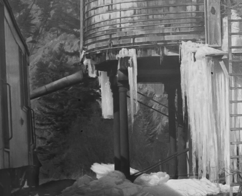
Thanks. That helps a lot. I'm not sure what happened, but the one labeled 64 should have been 63, and the text for 64 belonged with the un-numbered photo, which was supposed to be accompanied by this close-up of the tank legs:
|
Re: Help with locations - South Platte Canyon to Leadville
|
In reply to this post by Todd Hackett
Todd,
thanks yet again for posting these great images, your efforts are truly appreciated. and without any guessing...  04 is Deansbury in Platte Canon 06 is near Braddocks 13 looking up Hall Valley 14 just down from Climax 19 looking down on Webster 25 Platte Canon similar view in Klinger's P.C.Memories pg48 64/65 is Shawnee Tank (I see Jim C jumping for joy on those views  ) )
66 I have a deja vue feelling on this one (maybe a later edit) 69 is at Webster. p.s. Webster tank had sq. posts
UpSideDownC
in New Zealand |
|
In reply to this post by Todd Hackett
Todd,
Here are a couple guesses: 04: Deansbury bridge: http://c-sng-discussion-forum.254.s1.nabble.com/Deansbury-Bridge-HAER-Resource-tp2450p2703.html 06: Tailings north of Breckenridge 12: North-east of Jefferson, looking back towards Kenosha pass, North and South Twin Cone.  13, 20, 21: Halfway beween Webster and Kenosha pass 18: Looking back to southpark on the way up to Kenosha pass. Michigan hill in the valley 19: Looking down towards Webster  22,23,25,66(?): Between Crossons and Estabrook 28: Kenosha pass near Hoosier, looking east towards North Twin Cone. 60: Near Shawnee 64, 65: Shawnee tank 69: At Webster Alex |
Re: Help with locations - South Platte Canyon to Leadville
|
In reply to this post by Chris Walker
Wow, I don't think I've ever seen photos of the Shawnee tank before, and I sure didn't expect to see the cast supports like the Idaho Springs tank, very cool!
Norm in Littleton, CO
- on the C&S Silica Branch |
Re: Help with locations - South Platte Canyon to Leadville
|
Pretty sure 24 is west side of Boreas, looking eastbound.
And I'd put 10 on the east side, looking westbound, in the vicinity of where the 1936 shoofly for the 75/73 wreck meets the grade. |
Re: Help with locations - South Platte Canyon to Leadville
|
In reply to this post by Norm Acker
The Shawnee tank location is a bit off the highway, and the view from the highway is a bit obscured, so I couldn't confirm the background (but the westbound view does appear to match). Also, the ICC map shows this for the Shawnee tank: "10 Iron Posts, 6" Diam. Set on Stone Piers." That seem to confirm.
|
|
Damn! That is a 3 beer post! #14 is from an EB train at Kokomo. I gave a wrong ID of Boreas in our Platte Canon book. The shots at the Shawnee tank are killers! It was located west of the depot 1/3-1/2 mile. Got to go back and look at those again and again.
Tom Klinger |
Re: Help with locations - South Platte Canyon to Leadville
|
This post was updated on .
Tom, Todd and other interested parties....
Jim Courtney posted this picture asking if it was Shawnee quite some time ago. Maybe not, in hindsight! The giveaway(to me, at least) was the piles of cinders along the trackside. I was thinking it was, given the Cast Iron legs but never could find any backup pictures, forgot where I saved it to, forgot where who might have posted it and simply forgot about it.  Usually I pursue this stuff for you guys to the end: not this time I'm sorry to say. Usually I pursue this stuff for you guys to the end: not this time I'm sorry to say. Photo not from the Collection of Jim Courtney.  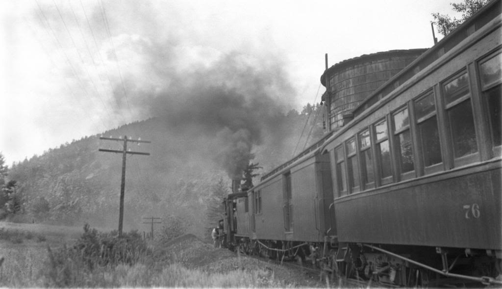 As for photo 14, South Park really had me doubting myself on being "below Climax". A confirming view with non-Boreas smokestack. https://localhistory.boulderlibrary.org/islandora/object/islandora%3A59670 Paddock Collection. 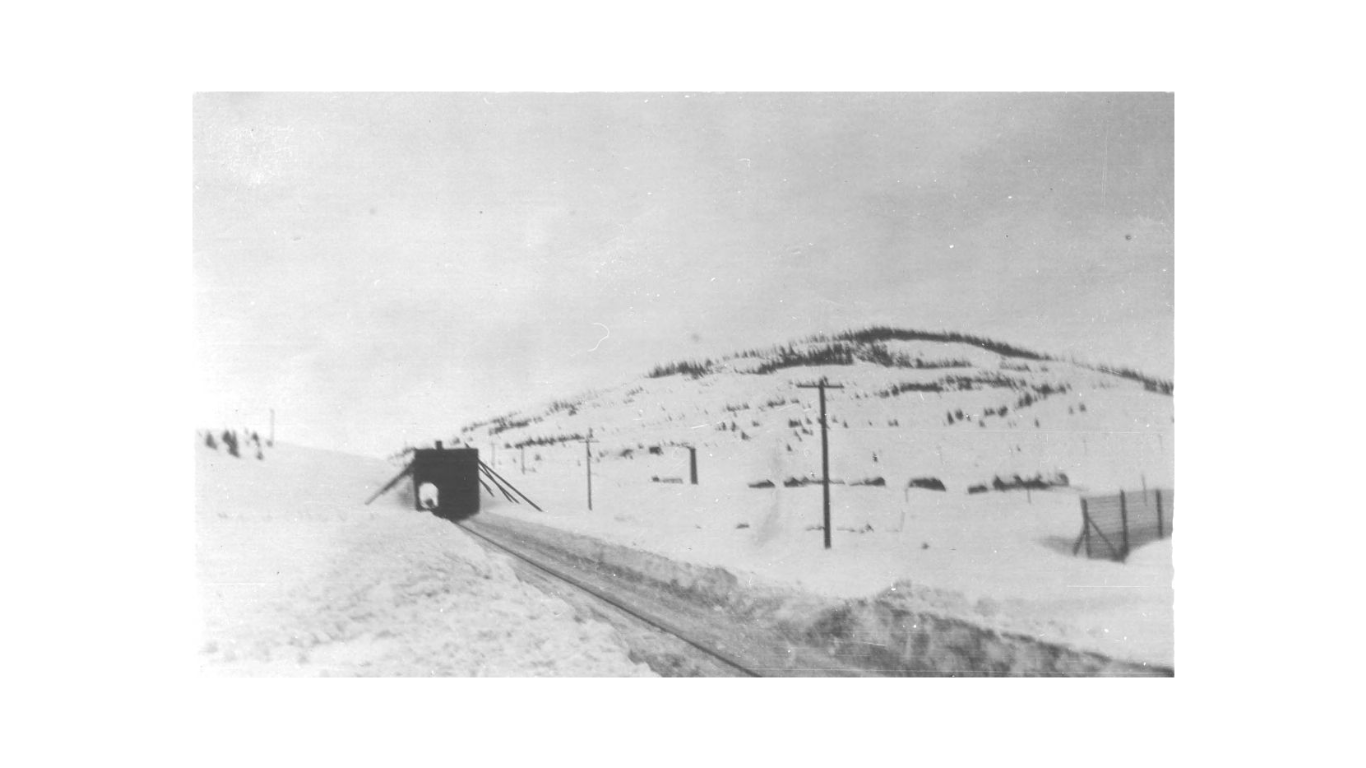
UpSideDownC
in New Zealand |
Re: Help with locations - South Platte Canyon to Leadville
|
Wow! A guy goes away for a week, and there is an explosion of fantastic photographs, on multiple threads.
Todd, thanks so much for posting the great views of Shawnee tank, the only two that I've ever seen. Now, before I die, I actually know what it looks like!  And, Chris, the photo that I posted long ago, was this one, with the black excursionists: 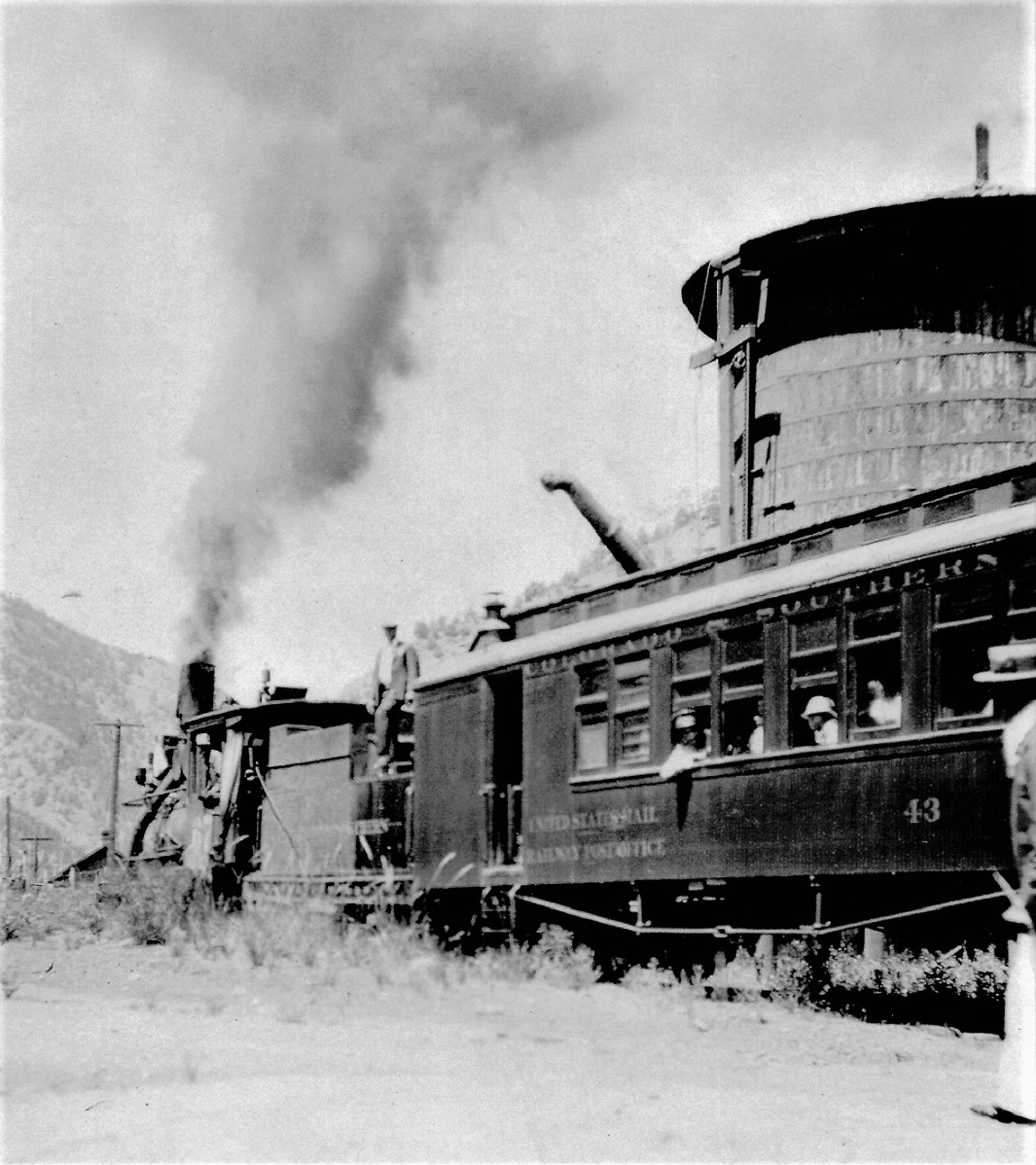 http://c-sng-discussion-forum.254.s1.nabble.com/Help-Identify-this-C-amp-S-Water-Tank-td3647.html You correctly identified it as the Idaho Springs tank. I've never seen the photo that you juct posted of the Leadville passenger at Shawnee--you've been holding out on me! 
Jim Courtney
Poulsbo, WA |
Re: Help with locations - South Platte Canyon to Leadville
|
Well Duh! Jim. Apparently I was holding out on you: I just hadn't realised I was. "Sorry about that, Chief."

UpSideDownC
in New Zealand |
Re: Help with locations - South Platte Canyon to Leadville
|
In reply to this post by Todd Hackett
Yep, Shawnee Tank, of Union Pacific design with the iron substructure.
|
Re: Help with locations - South Platte Canyon to Leadville
|
In reply to this post by Todd Hackett
I got some more photos from the same collection. Most were family and scenery photos that I won't be keeping. Of the ones worth keeping, most were easy to identify - mostly Singleton with a few at Buffalo and South Platte and not much that's really interesting. I was able to identify a few more using Klinger's "C&S Platte Canyon Memories & Then Some." There are a few that are or may be railroad related that I could use some help with.
I'll start with one that I was not only able to identify based on what I saw in Klinger's book, but match up with Google Street View. It's looking across the valley at the Shawnee depot. Here's the original image followed by the Street View: 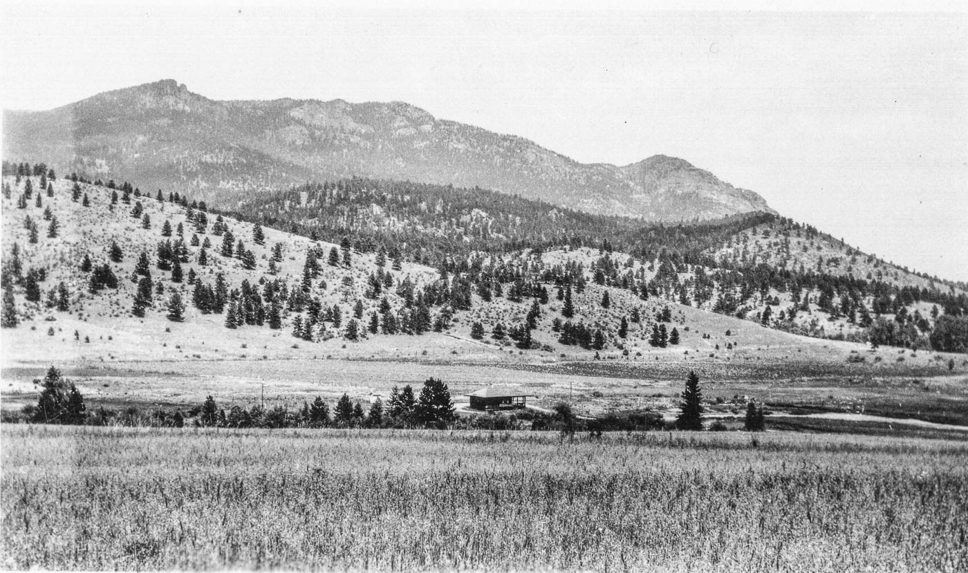 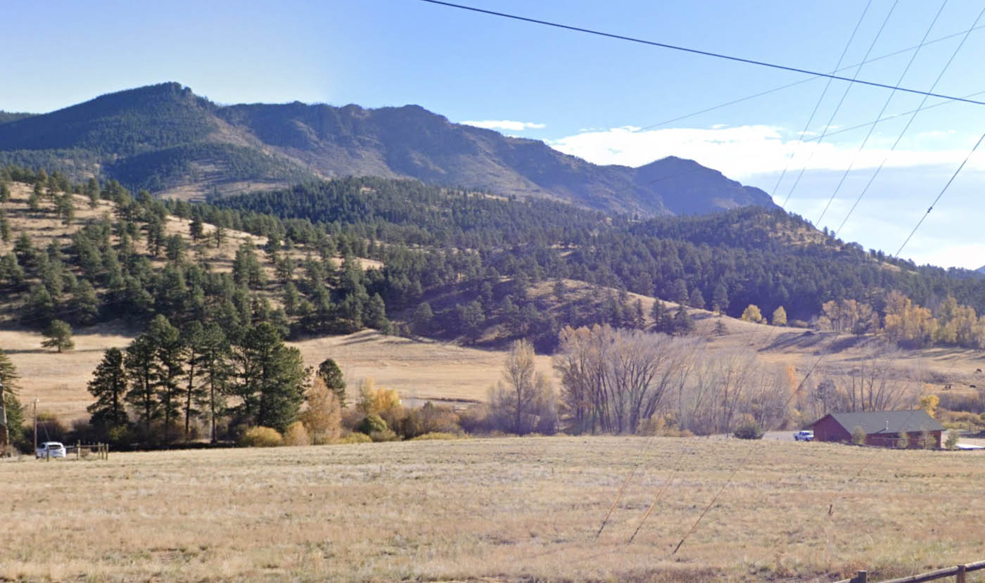 The next one I think is the bridge below Estabrook looking down, but my confidence isn't high: 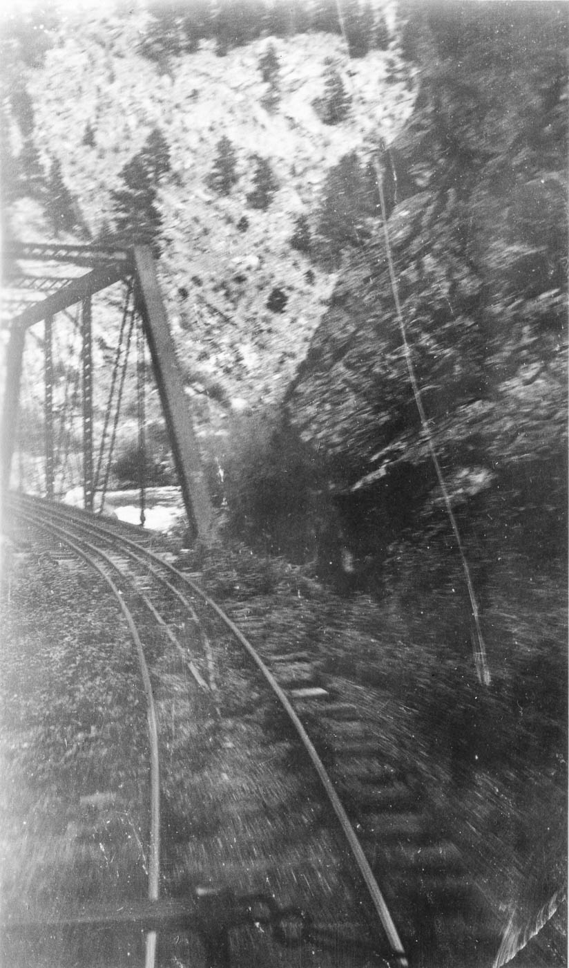 These two appear to be the same spot, but I can't identify it. It looks to be in Platte Canyon, and is in a spot with two tracks. 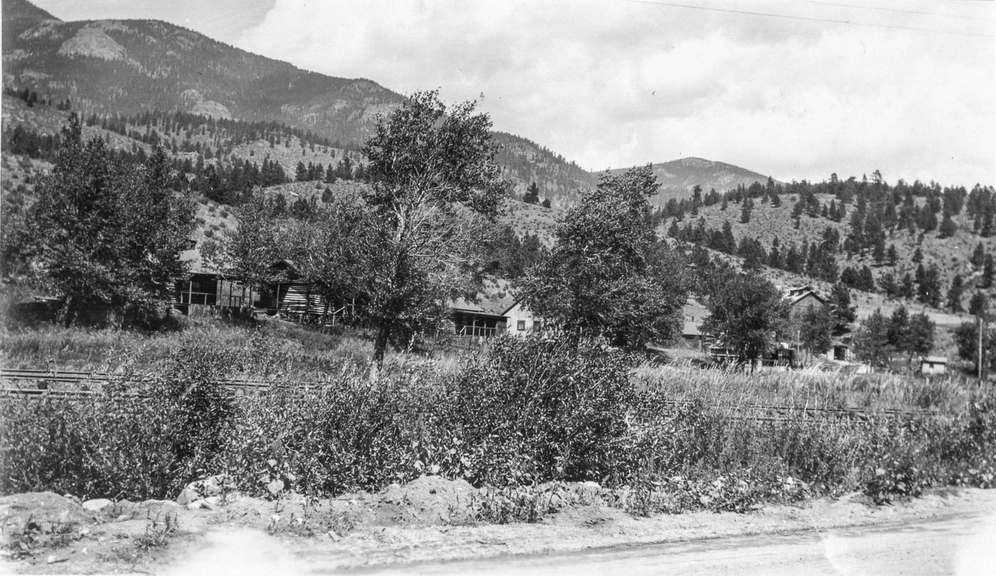 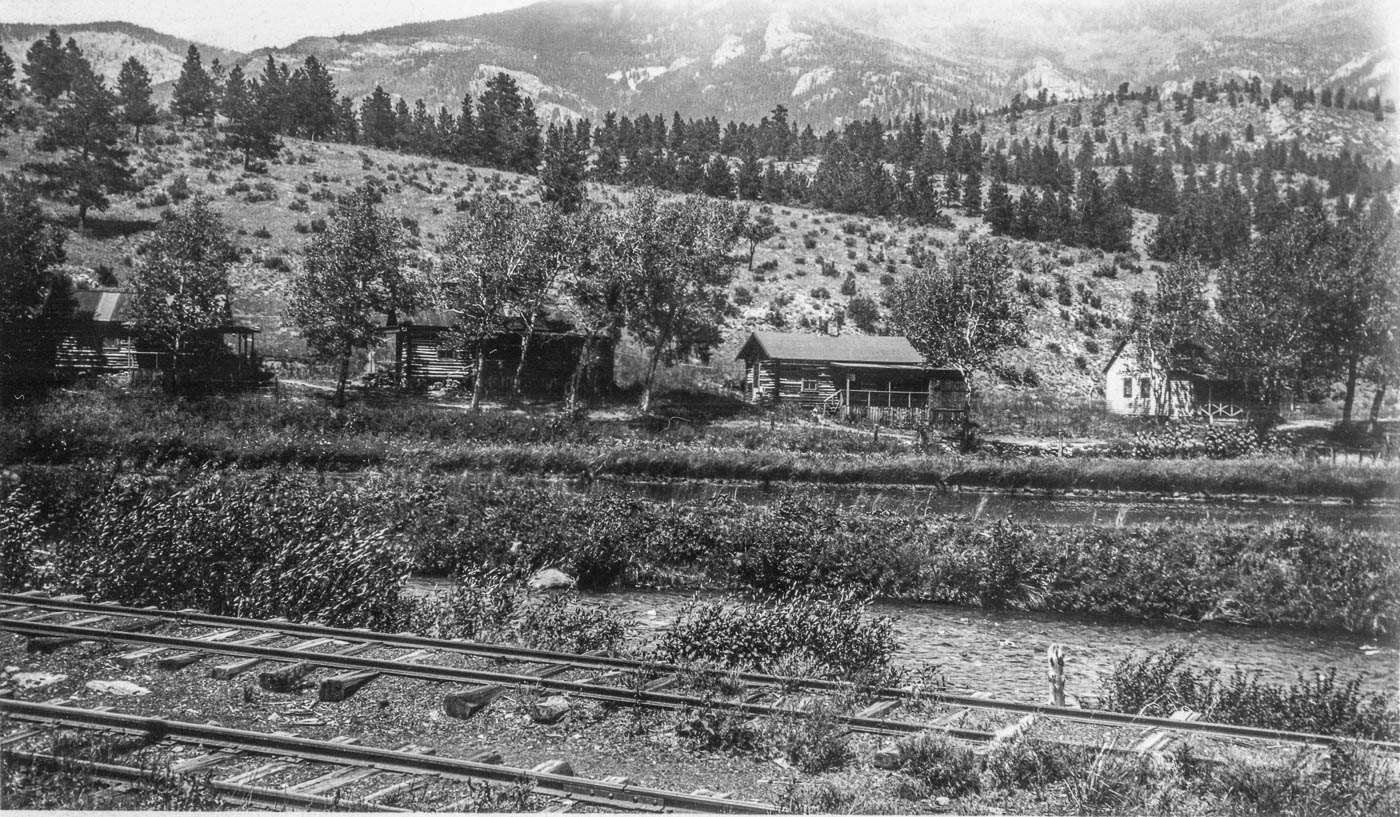 This one may also be the same area as the last two: 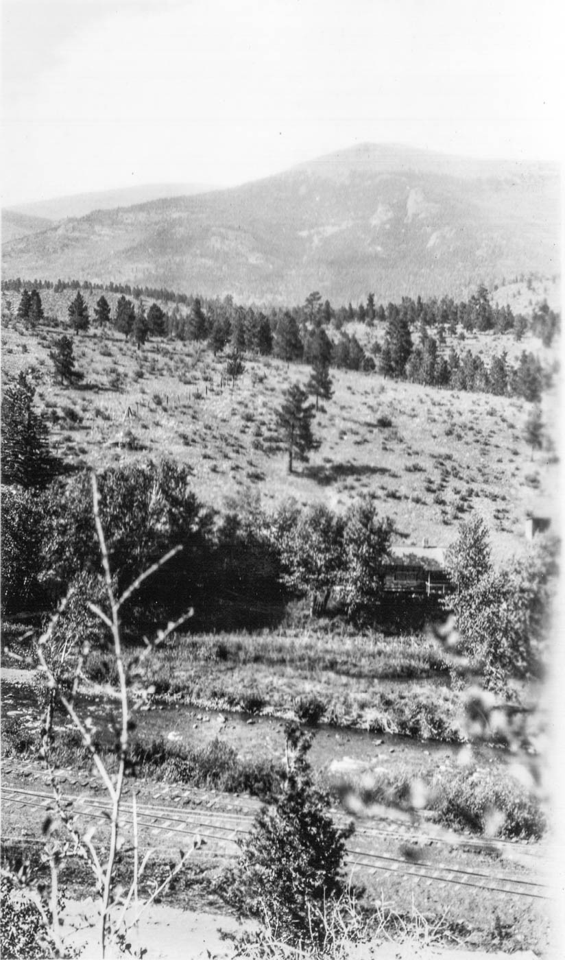 This last one looks like its somewhere in South Park. I'm not sure if it's railroad related, but thought I see if anyone recognized it. There appear to be some smokestacks in the background. Possibly something related to the salt works? 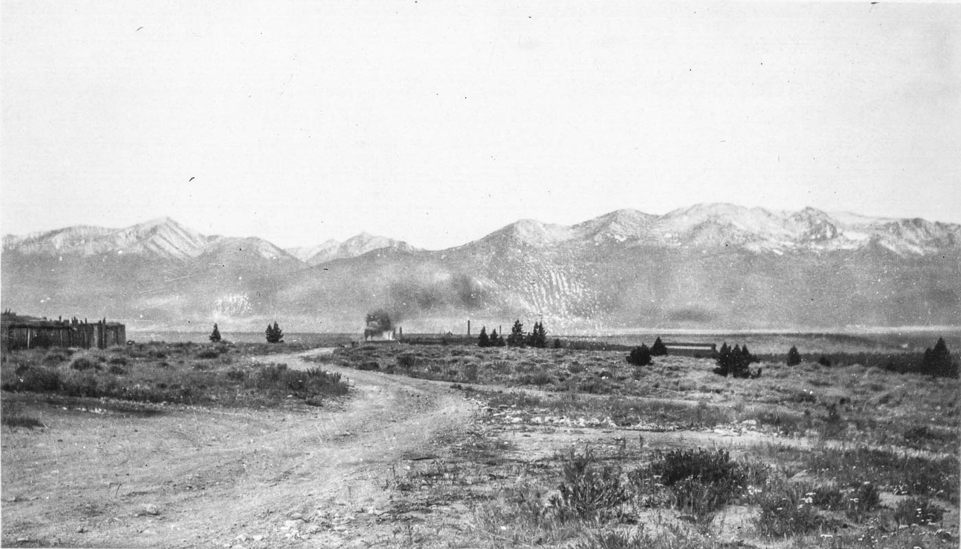
|
Re: Help with locations - South Platte Canyon to Leadville
|
This post was updated on .
Nice finds Todd.
 This last one looks like its somewhere in South Park. I'm not sure if it's railroad related, but thought I see if anyone recognized it. There appear to be some smokestacks in the background. Possibly something related to the salt works? Try Arkansas Valley Smelter, those peaks are all visible looking West at Malta. edit: your Truss is a match for the picture on pg134 of Plate Canon Memories, but it is not the Bridge in the DPL https://digital.denverlibrary.org/digital/collection/p15330coll22/id/12476
UpSideDownC
in New Zealand |
Re: Help with locations - South Platte Canyon to Leadville
|
In reply to this post by Todd Hackett
Might the view with double tracks be cabins near the ice lakes at Maddox?
Keith Hayes
Leadville in Sn3 |
Re: Help with locations - South Platte Canyon to Leadville
|
In reply to this post by Chris Walker
That looks like it. I should have recognized the peaks - Mt. Elbert on the left and Mt. Massive on the right, so Arkansas Valley, not South Park. |
|
In reply to this post by Chris Walker
I am not sure I want to put my hat in the ring on these IDs. On the last 2-3 images with the cabins across from a siding I would say, what about the area of Singleton(Kline) and Weller? These locations just west of Long Meadow. Tom Klinger
|
«
Return to C&Sng Discussion Forum
|
1 view|%1 views
| Free forum by Nabble | Edit this page |

