Greetings all.
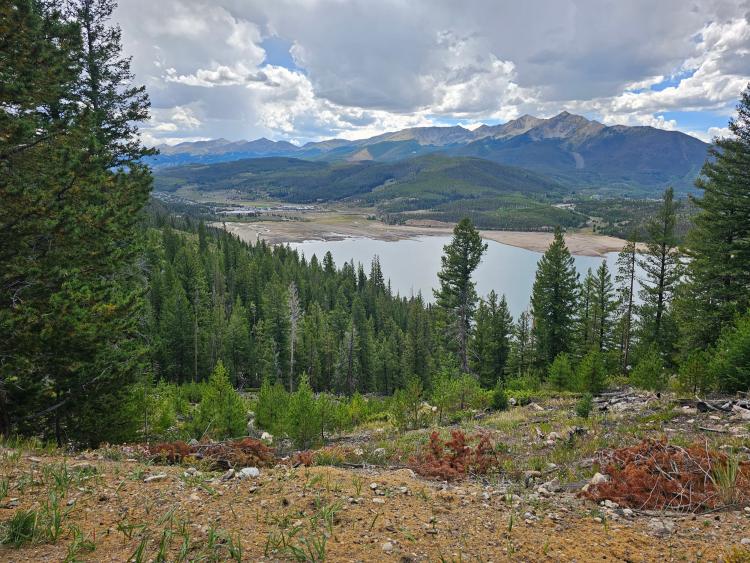
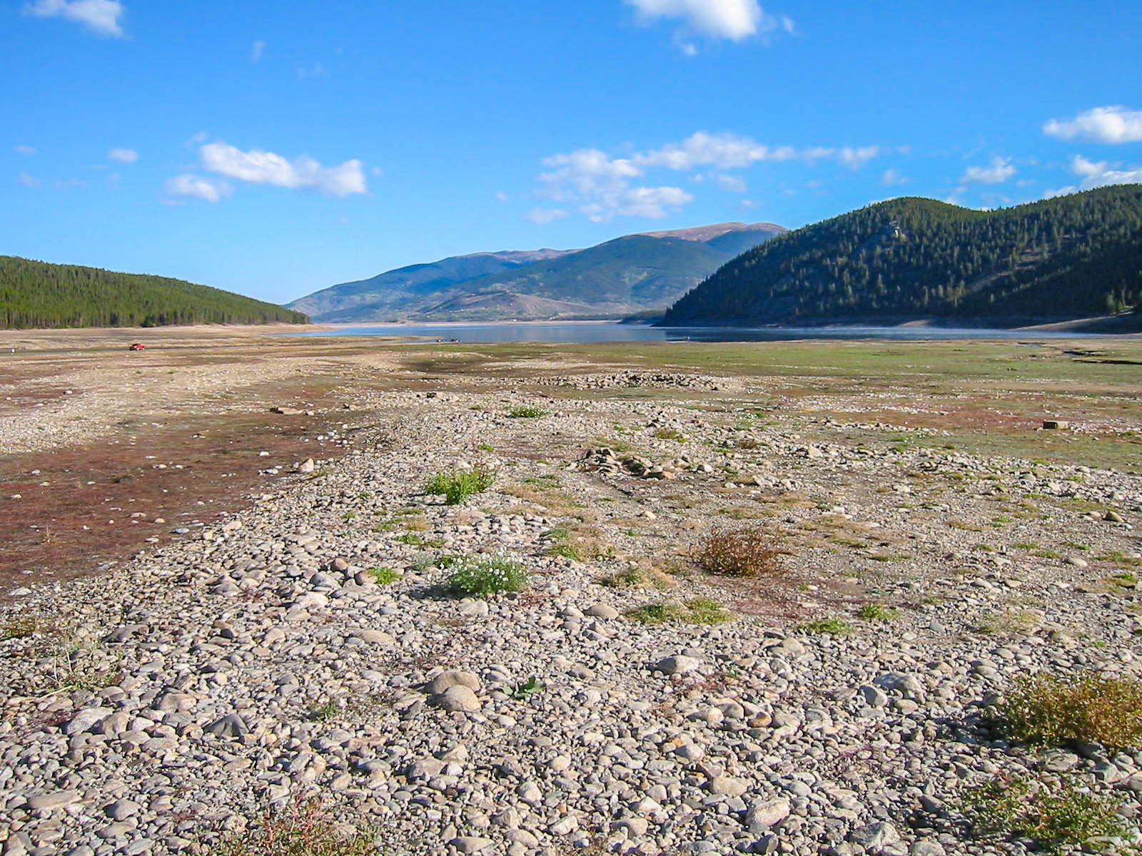
Yesterday's Summit Daily News contained a story on the Site of Dickey's emergence from the waters of Dillon Reservoir.
Here is the link:
Remnants of Summit County towns resurface as Dillon Reservoir water levels drop | SummitDaily.com
https://share.google/ajdsvBtf3RZ1J0nwpUnbelievably, Bill Rogers and I happened to be at Dickey yesterday as well. We spent a long time tramping around all over the place, as my Brother had earlier in the week.
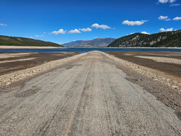
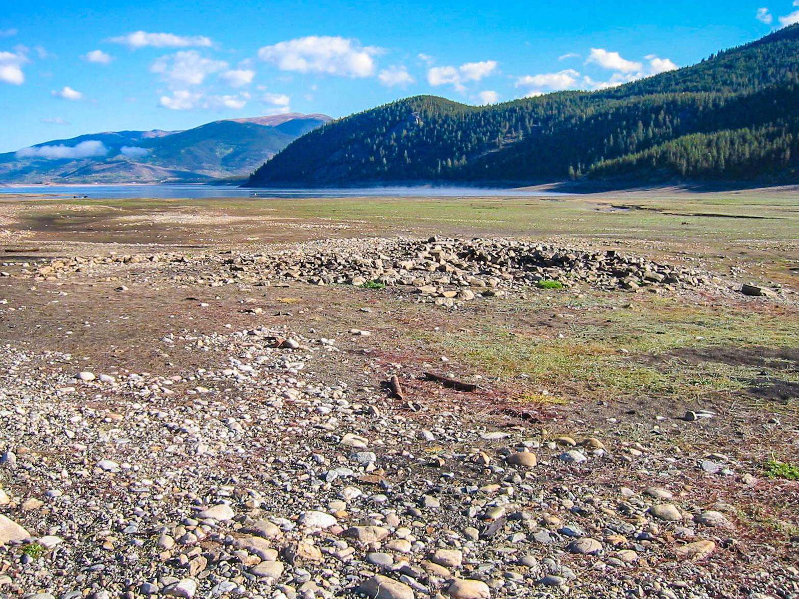
What we found, and had not expected, was that a great deal of excavation had been done to the area, which became evident to have been due to highway construction right through the site.
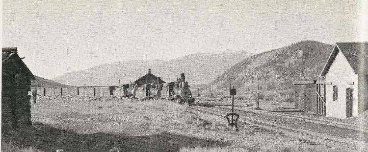
We found foundations for the stone pumphouse, the Bunkhouse, and even the very long Enginehouse. We found evidence of the wye, the tail of which became the mainline to Leadville.
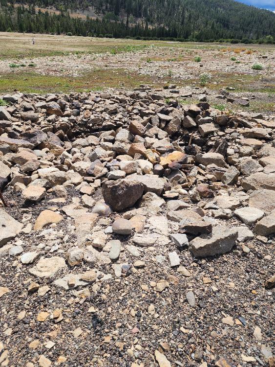
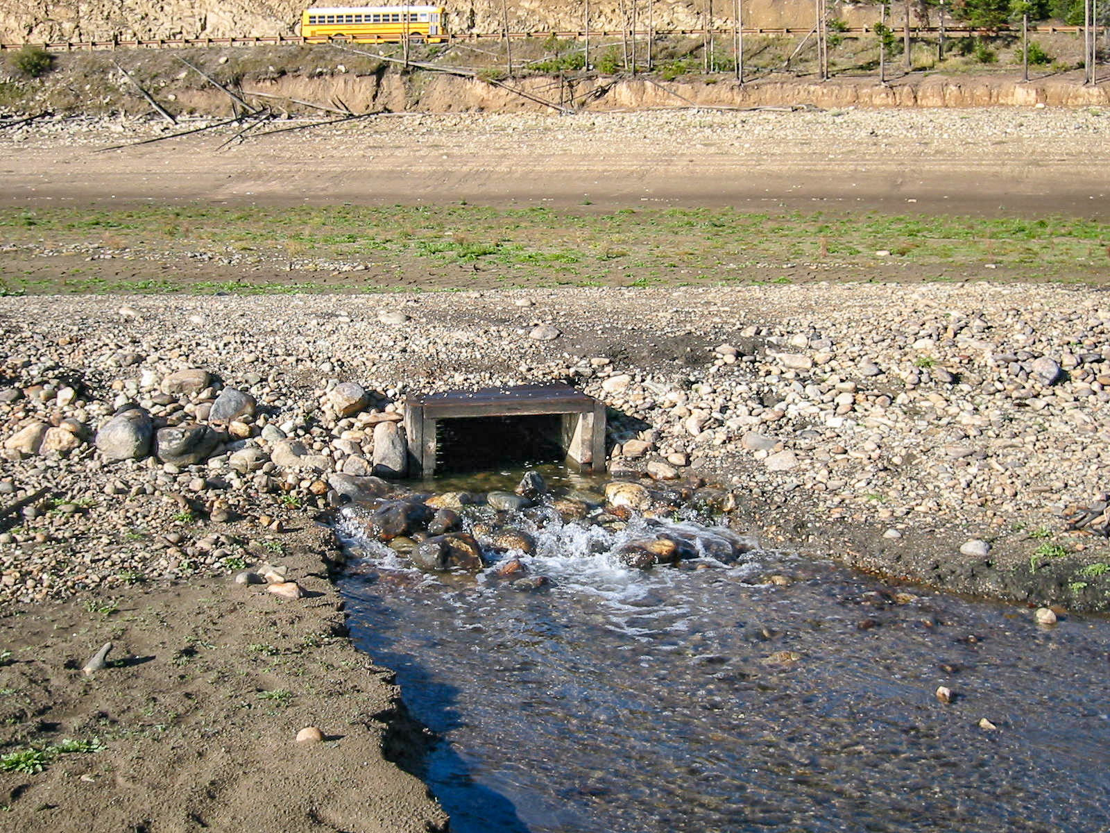
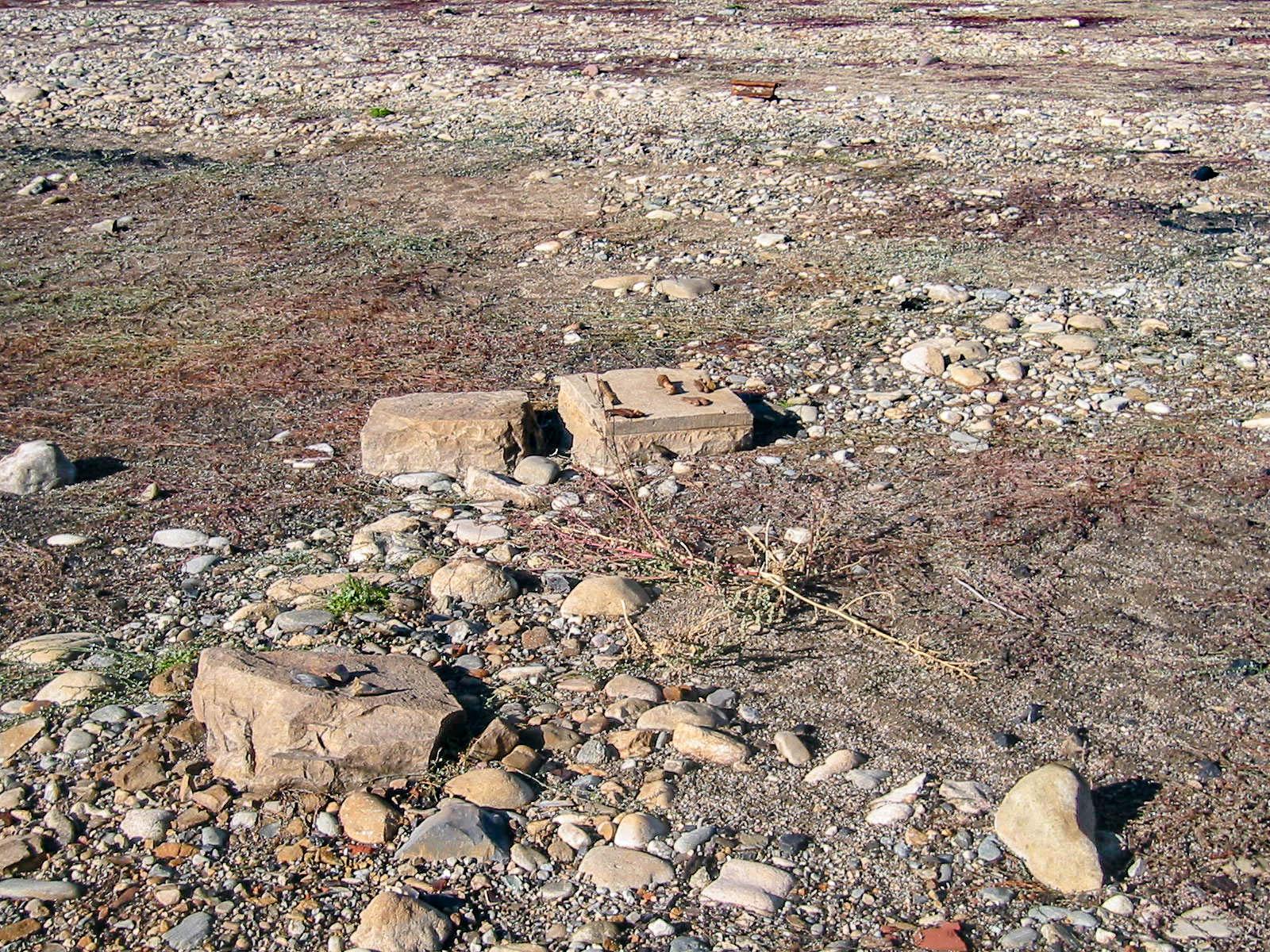
The stone from the pumphouse had been pushed into a wood lined cistern to probably clear it from what was the right of way of Colorado Highway 9 which had been constructed in the original right of way of the railroad. Flat cut stone footings are scattered around near where the pumphouse stood but none of them are where the tank actually stood.
We found, walking North, what can only have been remnants of the long enginehouse right where the valuation map said it was. After pacing off to the center of the enginehouse, we crossed over to where the location of the depot once stood. It too, was right where it should be, tucked in just north of the wye. The wye itself is still evident, but you have to know what you are looking for.
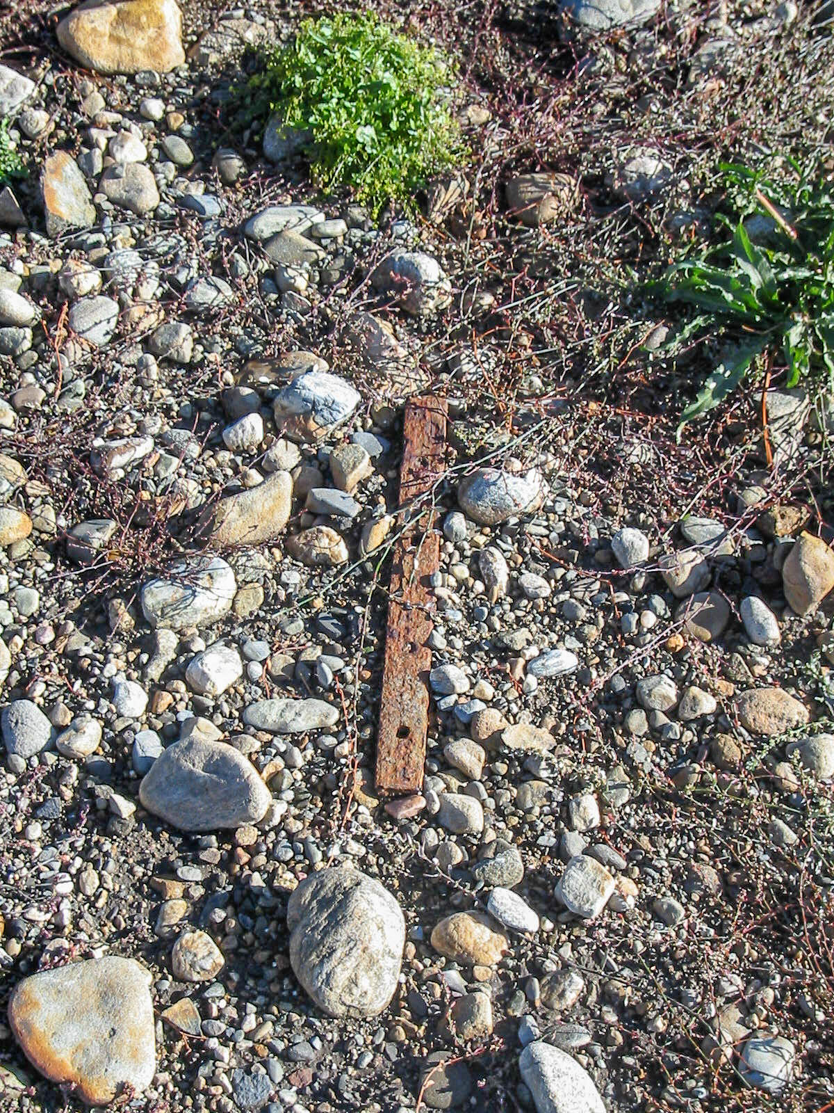
To start, turn off Highway 9 at the Swan Mountain Road light and turn left right away to a parking area. There is a big sign there. You should look for a path to the right that crosses a gravel path and a little further down from there you will find cinders and coal. When youfind the cinders, you are very near the ramp to the coal dock. From there, it's easy to follow the line to the North and eventually you will find foundations.
The highway enters the reservior at a different angle than the railroad, which was a short distance to the East.
The highway grade merges with the railroad South of the site of the water tank. The highway grade on the south end of the reservoir has been stripped of it's pavement and is really only identifiable by the elevated excavation.
As you approach the tank location, the pavement appears and eventually goes right into the water. Along the way, the highway follows the grade right between the long enginehouse and the depot location.
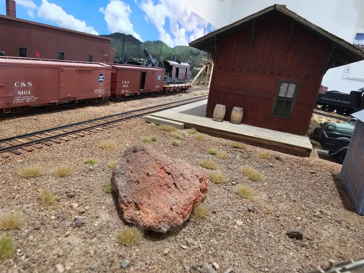
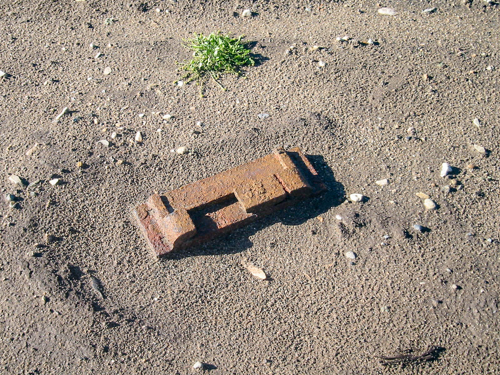
Bill spotted a few pieces of crumbled brick at the station site, which can only have been part of one of the chimneys of the depot. He encouraged me to bring one home and I'm glad he did. It's now "Rogers Rock" next to my version of Dickey, and a very rare artifact.
I'm going to add some pictures soon, but I want to post this text so it doesn't get lost.


 Locked