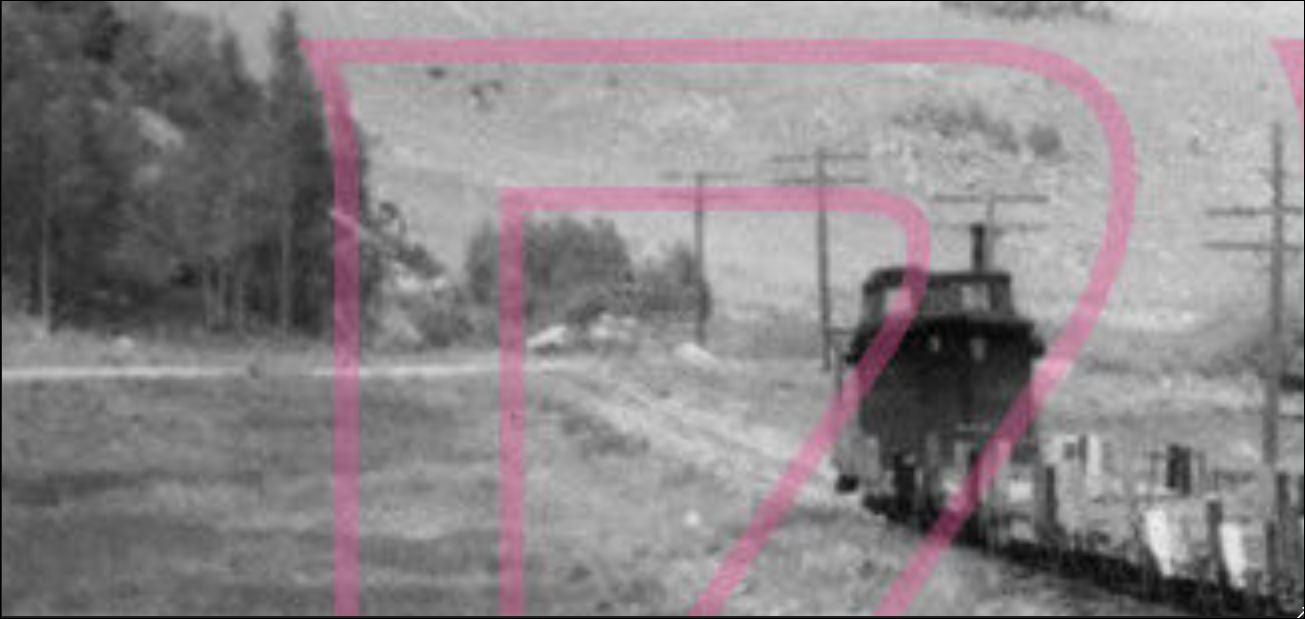
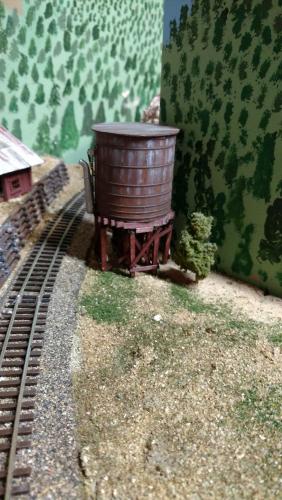
C&S Water Tank at Blackhawk and the "Three Bent Water Tanks".

1234

1234
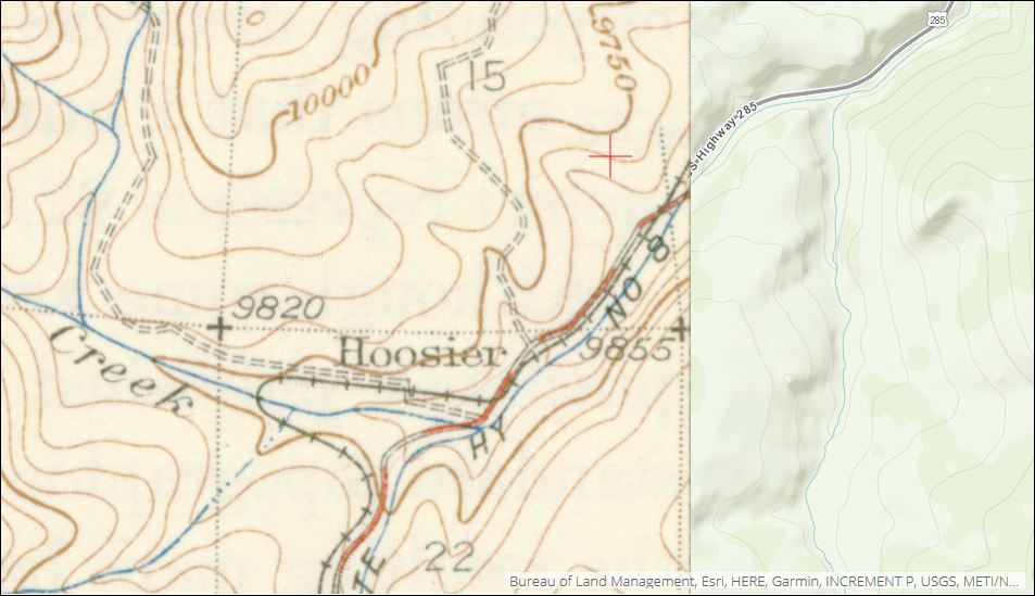
Hoosier -- Ghost of C&S "Three Bent Tank"?

|
 ) another of my theories, but no-one answered and I went off elsewhere.


Re: Hoosier -- Ghost of C&S "Three Bent Tank"?
|
|


Re: Hoosier -- Ghost of C&S "Three Bent Tank"?
|
|
Re: Hoosier -- Ghost of C&S "Tank"
|
|
Re: Hoosier -- Ghost of C&S "Tank"
|
|


Re: Hoosier -- Ghost of C&S "Tank"
|
|

Re: C&S Water Tank at Blackhawk, December 11, 1913.
|
|
Re: C&S Water Tank at Blackhawk, December 11, 1913.
|
|
Re: C&S Water Tank at Blackhawk, December 11, 1913.
|
|

Re: C&S Water Tank at Blackhawk, December 11, 1913.
|
|
Re: Hoosier -- Ghost of C&S "Tank"
|
Administrator
|
Re: Hoosier -- Ghost of C&S "Tank"
|
|
Re: Hoosier -- Ghost of C&S "Tank"
|
|
Re: Hoosier -- Ghost of C&S "Tank"
|
Administrator
|
Re: Hoosier -- Ghost of C&S "Tank"
|
|
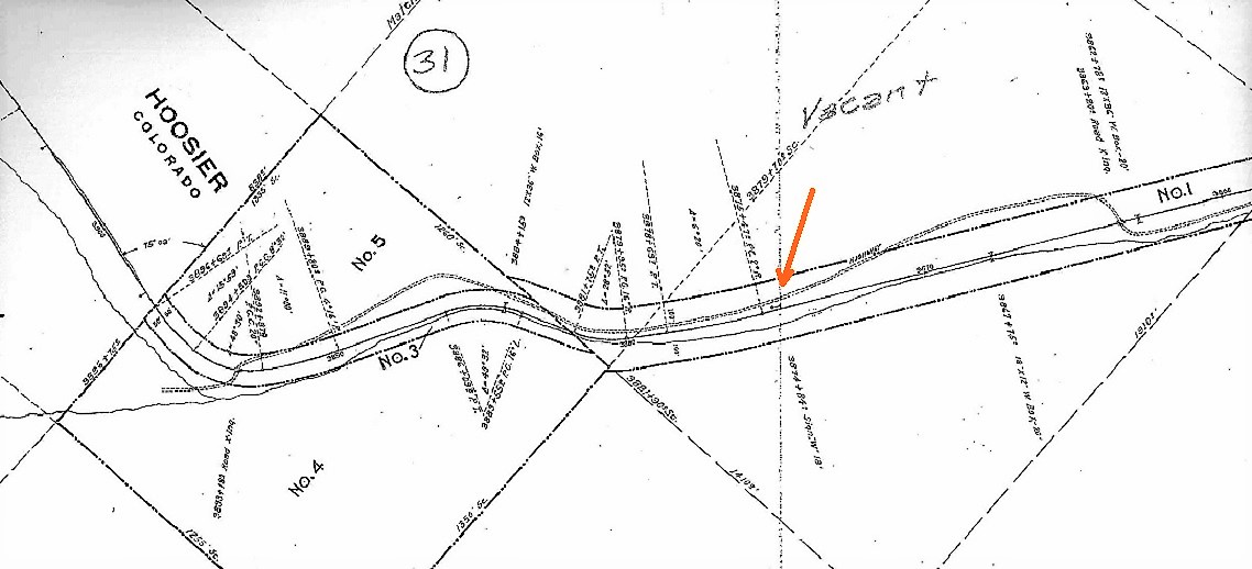
Re: C&S "Three Bent Tanks" -- More Tunnel Gulch
|
|
Re: C&S "Three Bent Tanks" -- Horseshoe Tank, Leavick Branch
|
|


Re: C&S Water Tank at Blackhawk and the "Three Bent Water Tanks".
|
|
Re: C&S Water Tank at Blackhawk and the "Three Bent Water Tanks".
|
|

Re: C&S Water Tank at Blackhawk and the "Three Bent Water Tanks".
|
|

| Free forum by Nabble | Edit this page |