Re: Alpine Tunnel Construction Camps
Posted by Matt Hutson on
URL: http://c-sng-discussion-forum.254.s1.nabble.com/Alpine-Tunnel-Construction-Camps-tp19236p19280.html
Hi guys,
Chiming in late on the discussion here. Once upon a time, I was doing some work in the records at the Chaffee County courthouse. I remembered seeing lots of hanging blueprints of railroad valuation maps, so this morning I went to the courthouse to see what I could find.
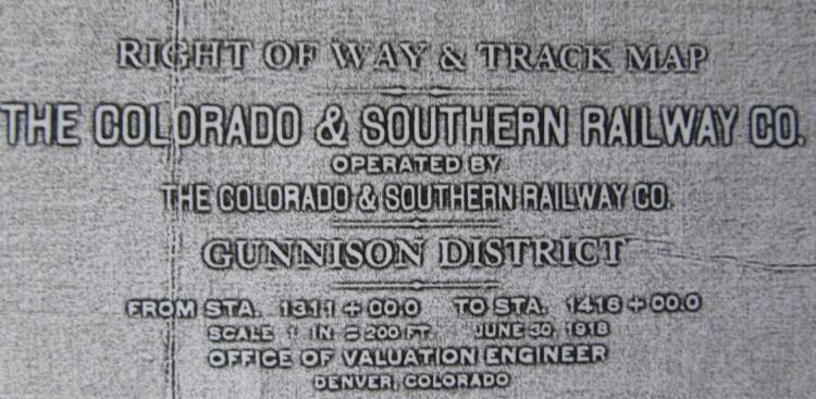
They have a valuation map from the C&S of the Hancock area dated June 30th, 1918:
The map shows a wye west of the water tank and and west of the bridge over Chalk Creek. The west leg of the wye is shown as 258' and the east leg is shown as 393'. I was unable to make out a length for the tail ending at Williams Street. The footprint of the power house is shown along the west leg of the wye:

Note the end of track cut off by this date as it heads up Tunnel Gulch.
Here's a pic I found on the Denver Public Library this morning, dated 1940. This was taken from the east side of the water tank facing west. The power house is still standing, and a car is parked on what was likely the west leg of the wye; that road now goes up to Hancock Lake or over Hancock Pass. You can also make out the Chalk Creek bridge:

Here's a direct link to that pic:
https://digital.denverlibrary.org/digital/collection/p15330coll22/id/6598/rec/1
Hope this sheds some light on the subject.
Cheers,
Matt Hutson
Nathrop, CO
URL: http://c-sng-discussion-forum.254.s1.nabble.com/Alpine-Tunnel-Construction-Camps-tp19236p19280.html
Hi guys,
Chiming in late on the discussion here. Once upon a time, I was doing some work in the records at the Chaffee County courthouse. I remembered seeing lots of hanging blueprints of railroad valuation maps, so this morning I went to the courthouse to see what I could find.
They have a valuation map from the C&S of the Hancock area dated June 30th, 1918:
The map shows a wye west of the water tank and and west of the bridge over Chalk Creek. The west leg of the wye is shown as 258' and the east leg is shown as 393'. I was unable to make out a length for the tail ending at Williams Street. The footprint of the power house is shown along the west leg of the wye:
Note the end of track cut off by this date as it heads up Tunnel Gulch.
Here's a pic I found on the Denver Public Library this morning, dated 1940. This was taken from the east side of the water tank facing west. The power house is still standing, and a car is parked on what was likely the west leg of the wye; that road now goes up to Hancock Lake or over Hancock Pass. You can also make out the Chalk Creek bridge:
Here's a direct link to that pic:
https://digital.denverlibrary.org/digital/collection/p15330coll22/id/6598/rec/1
Hope this sheds some light on the subject.
Cheers,
Matt Hutson
Nathrop, CO
| Free forum by Nabble | Edit this page |