Hi all,
Here's one from ten years ago, when my son and I hiked the part of the grade that is not on the road.
As a guy who makes his living in engineering and construction, I found this uncompleted section of grade very interesting. The South Park apparently had several grading crews working in different sections of the alignment simultaneously.
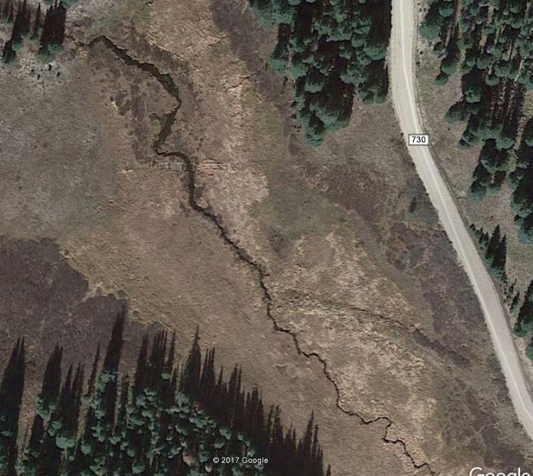
There would be a section of grade and then untouched natural terrain, repeated several times along the way. There are two unfinished large fills, the first where it crosses an unnamed creek and then another where the grade makes a loop over the same creek. Stone culverts made of BIG rocks are at the bottom of each, unburied.
Hi all,
Here's one from ten years ago, when my son and I hiked the part of the grade that is not on the road.
As a guy who makes his living in engineering and construction, I found this uncompleted section of grade very interesting. The South Park apparently had several grading crews working in different sections of the alignment simultaneously.
There would be a section of grade and then untouched natural terrain, repeated several times along the way. There are two unfinished large fills, the first where it crosses an unnamed creek and then another where the grade makes a loop over the same creek. Stone culverts made of BIG rocks are at the bottom of each, unburied.
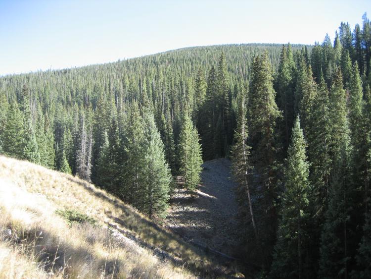
One of the unfinished fills.
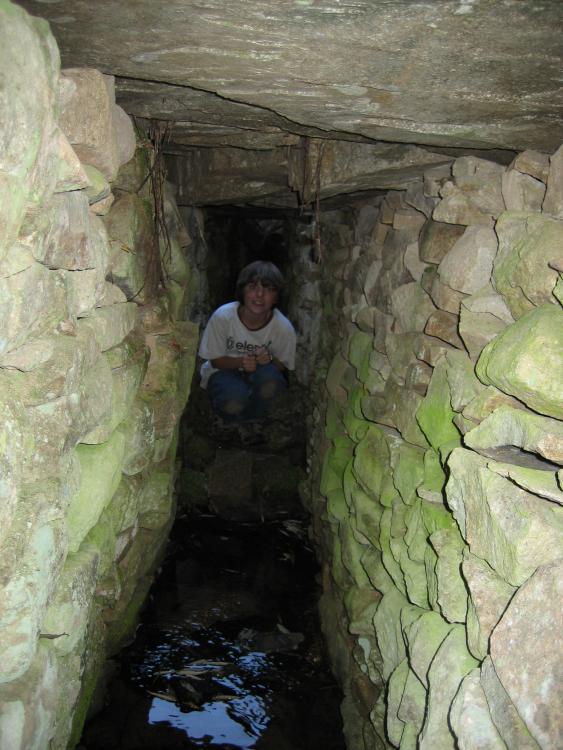
My son, then aged 12, in one of the stone culverts.
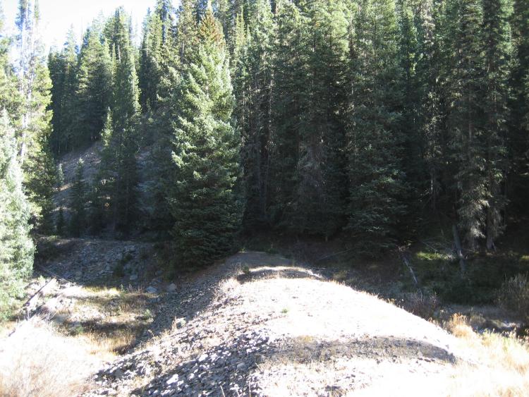
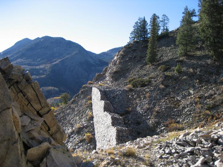
Completed grade, waiting for rails that never arrived.
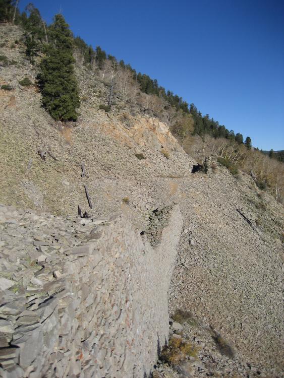
Another view of the Ohio Pass palisades, looking east.
Cheers,
Matt