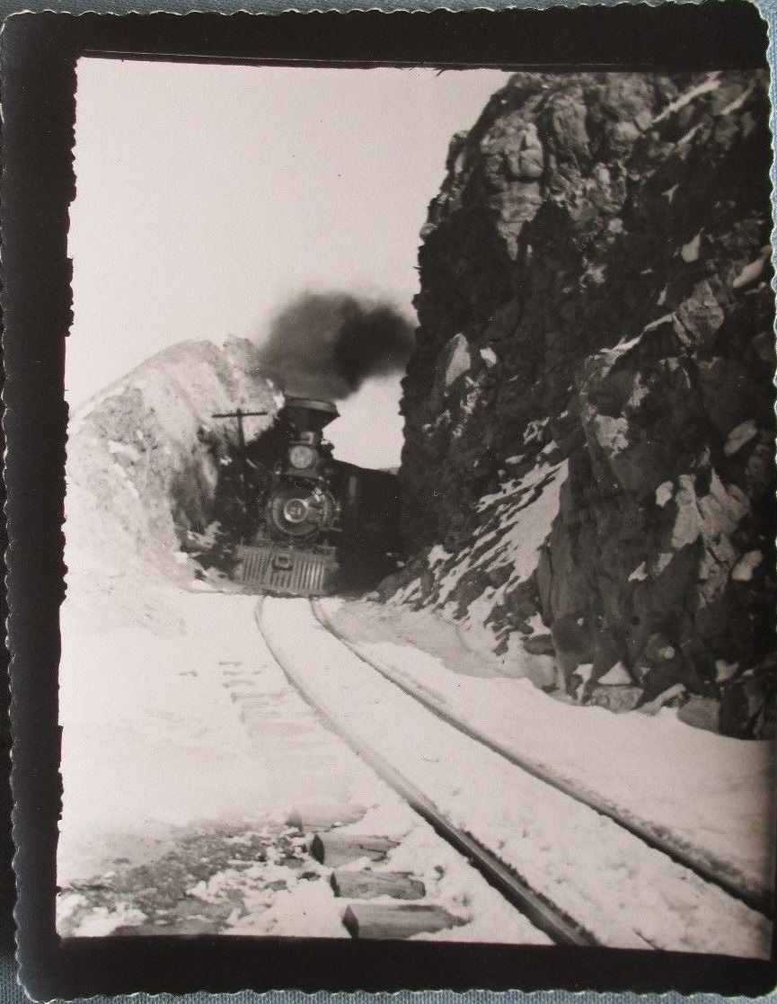
I was on the understanding that Rocky point is on the Breck side, Windy point is on the Como

and I was trying to illustrate the lower approaches since the conifers take over at or above these two locations. The Ridge doesn't fit with the Ten-Mile area in my mind, there isn't that sort of gradient visible like in the OP picture.

Just how did the Forest service come up with the Rocky point sign shown in Jeff's picture?
UpSideDownC
in New Zealand