Hiding away in the DPL is a mislabled picture

so after several years of research, I present my conclusions, coincidently as it is exactly 40 years(26thSept) that I first visited Leadville.
Have you ever wondered why there were no Mines to the West of the old D&RG Depot?

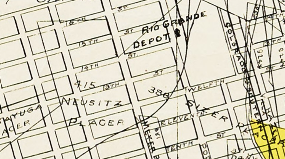
Establishing just where I'm be writing about.....
DPL The Leadville mining district map segment.
USGS 1913 Leadville Topo Map segment.
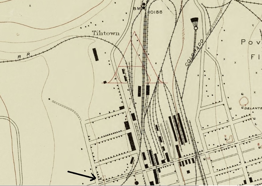
#11, arrowed is the Drillhole, #10 on Hazel St. is the Villa Mine.
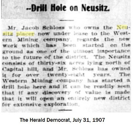
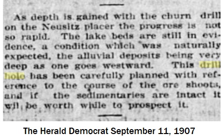
An entry in the Herald Democrat of 1903-9-11 first mooted a Drillhole on the Neusitz Placer, for the purposes of establishing whether or not the mineral belt extended that far West.
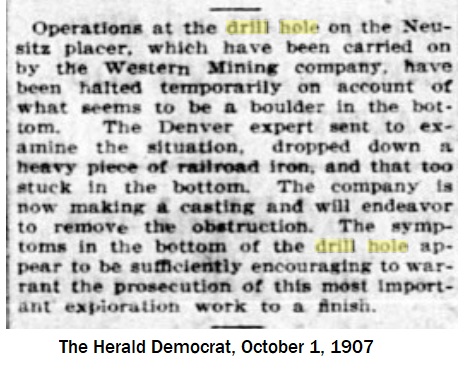
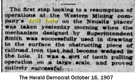
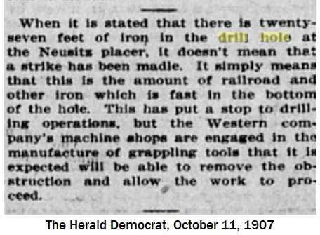
In the Summer of 1907, actual drilling of a borehole was started ....
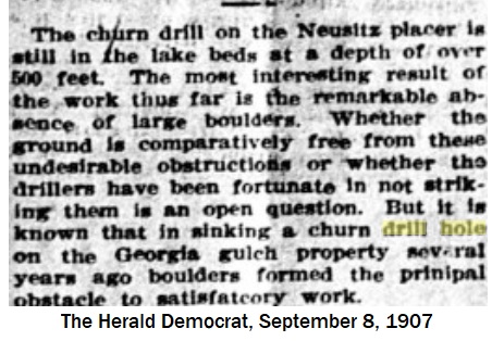
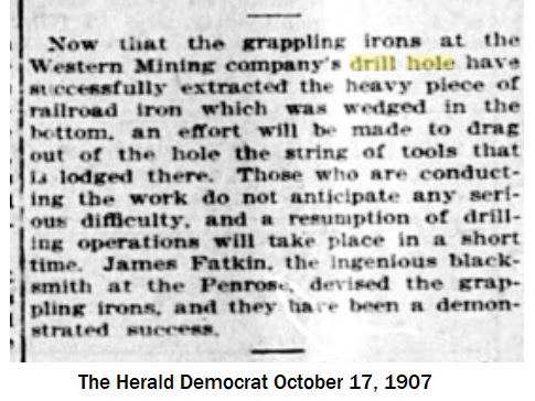
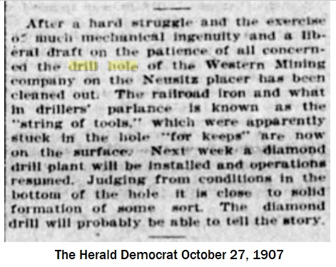
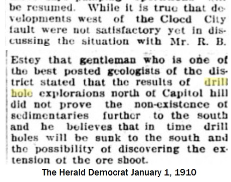
Which leads me to the picture, mislabled as "Florence oil feild"

DPL CHS.X8026
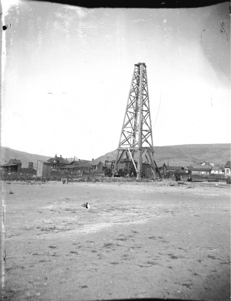 "View of an oil derrick, probably owned by the United Oil Company, people, wood frame houses, a hill and an outhouse near Florence (Fremont County), Colorado."
Note the twin D&RG Watertowers in the left rear background, the Leadville Ice(and Coal Co) at left.
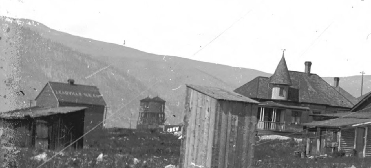
and the distinctive valley of the upper Arkansas.
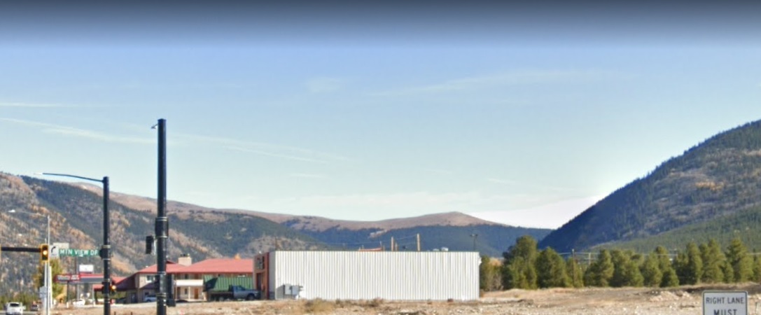
Conclusively
not Florence.

For those of you who read this far, the Western Mining Co controlled the Penrose(Keith's work-in-progress) at one time, that was served by the C&S via switchback.

UpSideDownC
in New Zealand