LIDAR to explore old railroad grades

Previous Topic Next Topic
 
classic Classic list List threaded Threaded
2 messages Options
Reply | Threaded
Open this post in threaded view
|

LIDAR to explore old railroad grades

Alex Hois
A post on the NGDF got me to check out LIDAR images that can be found here:
https://apps.nationalmap.gov/3depdem/


It seems to be a great tool to check out old railroad grades:

i70, big fill on the Georgetown loop and Argentine Central switchbacks:


And is this part of the Breckenridge wye in the center of the image, next to the gondola parking lot?


Enjoy!
Alex
Reply | Threaded
Open this post in threaded view
|

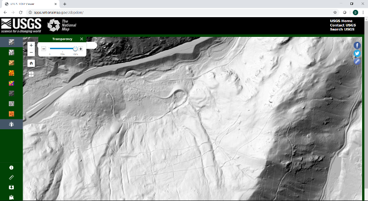
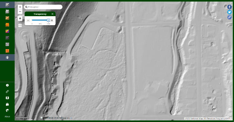
Re: LIDAR to explore old railroad grades

Jeff Young
Hi Alex,

That’s really cool!  

Sadly the resolution falls off drastically in less populated places.  I tried to check out the mills around Romley with no success.

The Robinson/Kokomo area is in high-res, but has had so much terraforming that it’s nigh-on impossible to make anything out.

Alma Junction, Leavick & Hilltop would be another great area to explore, but alas back to low-res….

Cheers,
Jeff.