Box culverts
12
12
|
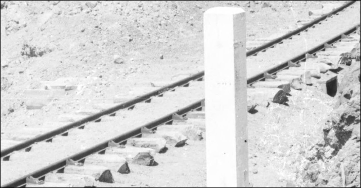
Early D&RG box culvert.
 http://digital.denverlibrary.org/cdm/singleitem/collection/p15330coll22/id/75066/rec/650 as it still Tuesday Up Above... here's a twofer on the switchback to Central. 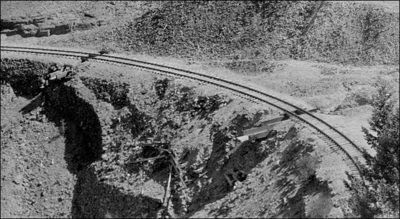 http://digital.denverlibrary.org/cdm/fullbrowser/collection/p15330coll22/id/74840/rv/singleitem/rec/170
UpSideDownC
in New Zealand |
|
Love the pic with the pair on the switchback. Another great find!
|
Yep, that's one's great pic. The near-square open top under the track also makes it much easier to work out the scales of the timber. They look to be quite substantial; 4x18s perhaps? Cheers, Jeff. |
|
This post was updated on .
In reply to this post by Chris Walker
CONTENTS DELETED
The author has deleted this message.
|
|
Hi John,
If the same location, then I think the Kierscey photo is recording an earlier version of the gutters. Note that in that picture there is a heavy superstructure (8x8s ?) with light planking inside (2x12s ?). The first picture, in contrast, shows gutters with almost no superstructure, and heavy planking. Great pictures, though. Lots of options to model! Cheers, Jeff.
|
|
And backup pilot on the tender.
|
|
In reply to this post by Chris Walker
CONTENTS DELETED
The author has deleted this message.
|
|
This post was updated on .
Actually John, I never "mis-read your corrected post" I just read your post as quoted by Jeff (as initially written) and after scrolling up and down, replied to your post not noticing it had been updated. Sorry about that.
UpSideDownC
in New Zealand |
|
In reply to this post by Chris Walker
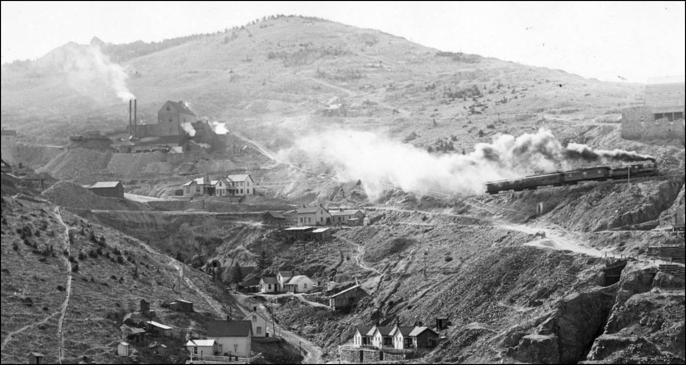
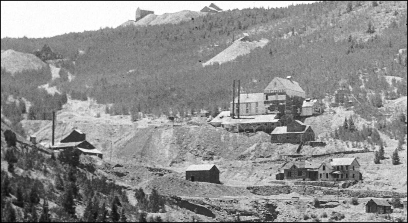
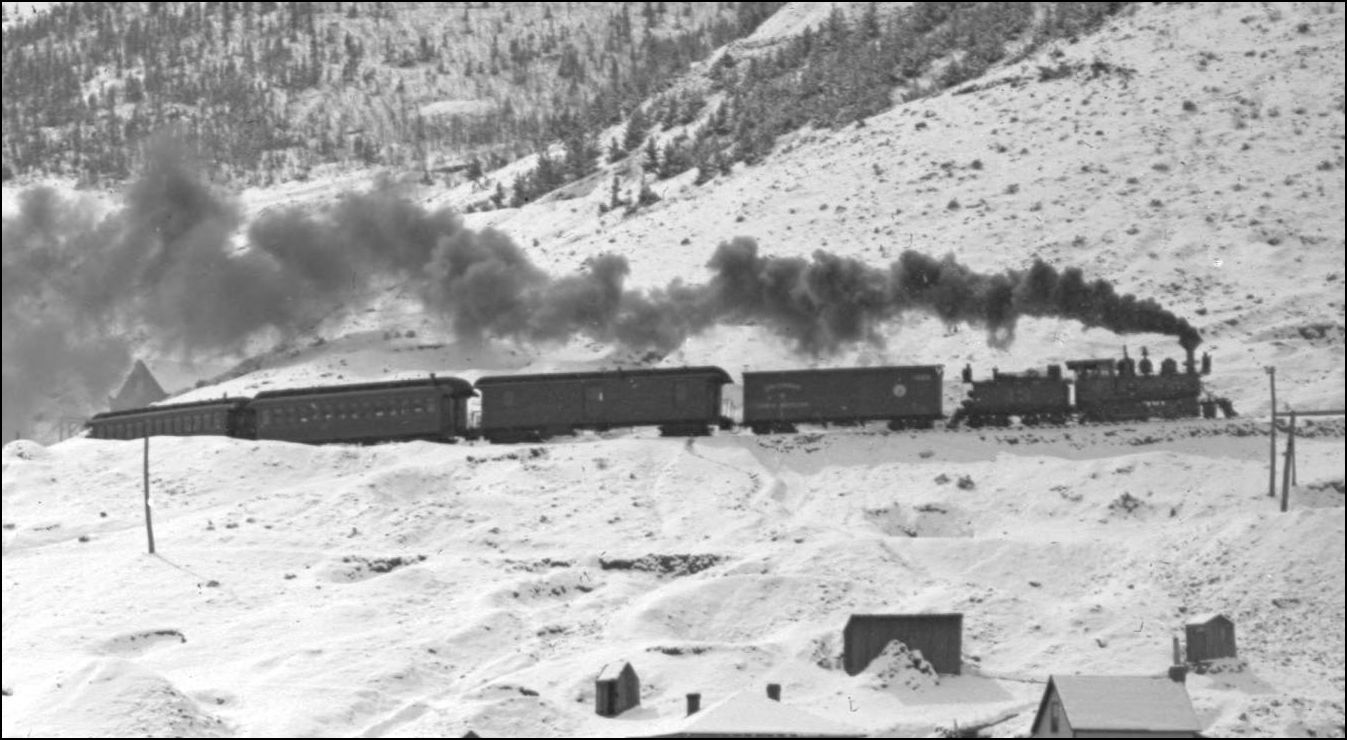
Oooh, is that an RPO in the train? And do I spy a C&NW boxcar between the locomotive and RPO? Interesting that traffic at the time justified two coaches. I am also fascinated by the familial character of mines in a particular camp. The mines in Central all have a long gable interrupted by the headframe, which is at one end of the building. The frame is is not terribly tall, and the main roof slope is shallow. In contrast, the headframes in Leadville are taller, and seem centered on the ridge of the lower roof form, which in turn has a steeper slope. I wonder if this is a reflection of the depth of the shaft/ stope?
Keith Hayes
Leadville in Sn3 |
|
Keith,
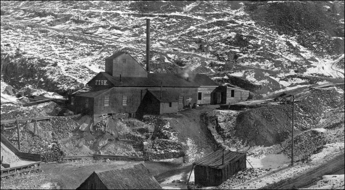
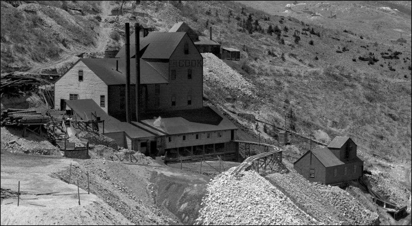
supposedly the deepest in the Gilpin area, the California Mine reached 2250ft below Collar (USGS1917) whereas the deepest at Leadville was the Pyrennes at 1247ft below Collar(LeadvilleMiningHistory). A comparison with the Michigan copper mines; the #10 South Hecla was down 8132ft( The Mines Handbook 1918). Not all were of the small compact design, both the California and the Cook (and some others) had rather large Hoisthouses for the Gilpin area. As for the design of the Headframe and Shafthouses, I think Keith Pashina would be the expert in that field on the Net. Dan Abbott, Joe Crea and Keith were of the view that the Shafthouses were of a common design proliferated and may have been erected by certain interests, it was quite some time ago we had those discussions, but the idea has considerable merit. Check out Keith's blog on this subject, Darel and/or Doug may even chime in here as they both were heavily influenced by the Tram. http://www.freerails.com/view_topic.php?id=4599&forum_id=17&page=1
UpSideDownC
in New Zealand |
|
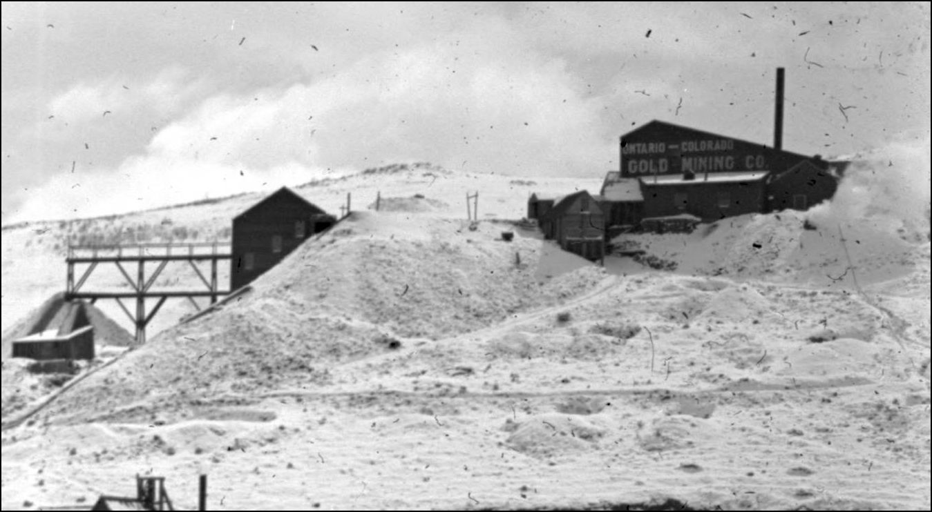
The Ontario-Colorado Hoisthouse seen from Gregory Gulch.
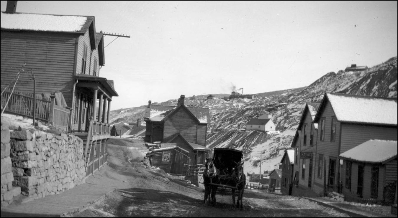 http://cdm16079.contentdm.oclc.org/cdm/fullbrowser/collection/p15330coll22/id/9664/rv/singleitem/rec/64
UpSideDownC
in New Zealand |
|
Great picture Chris!!
|
|
In reply to this post by Chris Walker
Thanks, Chris. It would not surprise me that there was a common design. Perhaps all the digs shared a common engineer?
Of course there are always exceptions as you cite. I forget how deep the shaft was that connected Argo (Newhouse) with the Central City mines. The two towns are only separated by under 1,000 vertical feet, only about halfway the depth of the California Mine you cite (not accounting for variation in elevation, of course). That means it was not very deep at all.
Keith Hayes
Leadville in Sn3 |
|
This post was updated on .
In reply to this post by Chris Walker
If I can interject here.
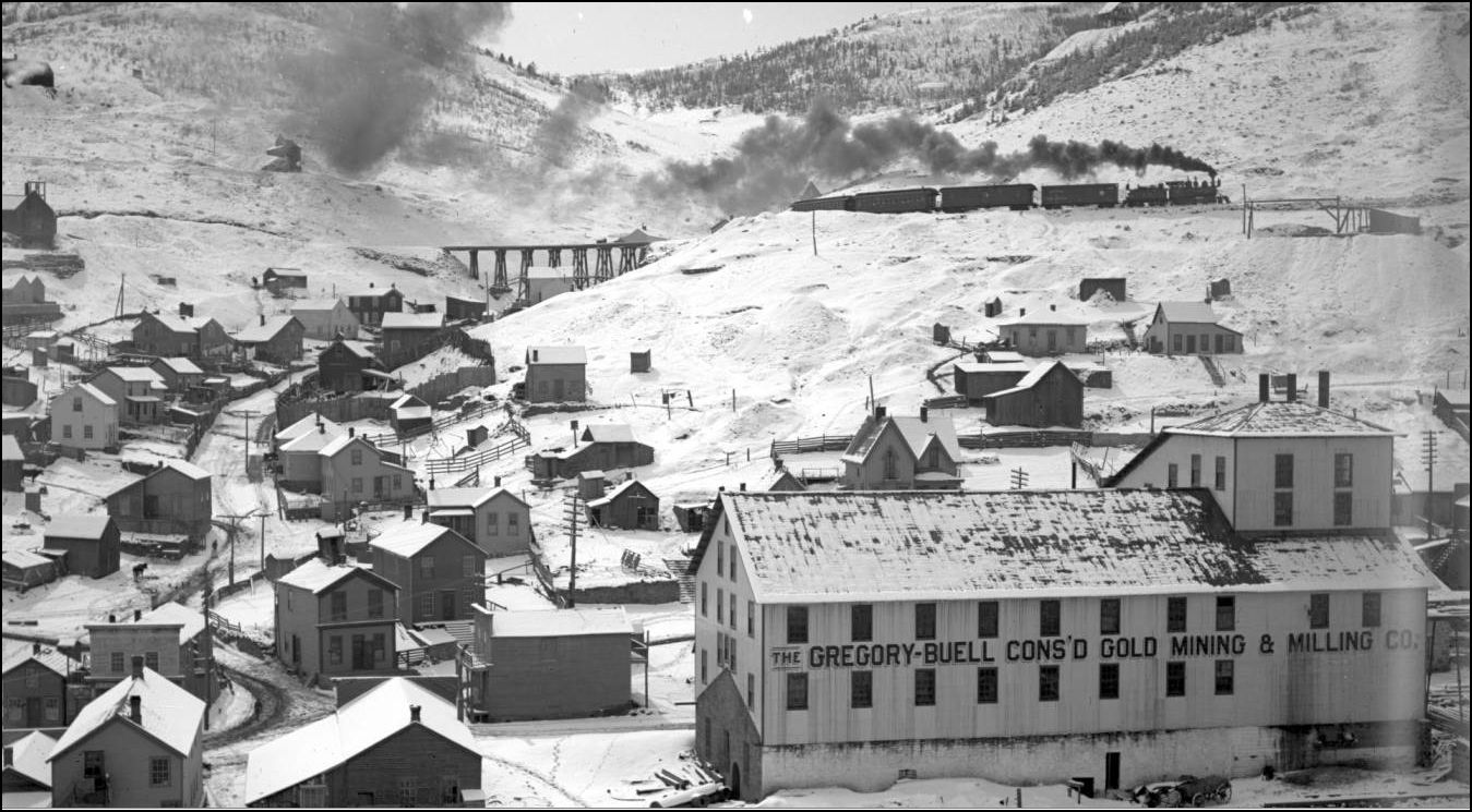
I've been gone for a week and here comes one of my favorite areas up for discussion. First off, Packard Gulch was spanned by a 7 bent framed trestle. The Ontario is located in Packard Gulch, it is high enough on the hillside where it is rarely seen in photos taken of that area. The mine on the east side of Packard Gulch is the Next President mine. You then round the point shown on the map on your way to Black Hawk and come across Gregory Stope, which the railroad spanned with a mud sill bridge. If you look at the photo of the train with the RPO without the C&N-W Box car at Ontario, you can see it approaching Gregory Stope, it is the diagonal slash that runs from upper right to lower middle right in the photo. Gregory Stope Bridge was built very much like the culverts, with the exception of the walkways as in the first photo as far as I can tell. The bridge and any evidence of it was long gone by the time that I got there. I got my information from the valuation field notes. A stope, because of the nature of the way that it is mined, will never completely fill up, it will keep sloughing off. Those of you with some memory of the 1970's will remember when Lindsey Ashby was faced with the same problem when a portion of a stope that he filled in 1969 sloughed off between the 1970 and 1971 seasons. The took a big tailings pile and just plowed darned near the whole thing into that stope to try to get it to stabilize enough to run trains over it. Further downgrade you follow the contour of the hillside until you get to Ontario. You can see what looks like a two story house sitting near the right-of-way. This is the site of Ontario. When I was up there in the early 1970's the roof and some of the outside clapboard of this house was still standing. Then came the "barnwood" decorating craze and it disappeared. I believe that this inside curve at Ontario is where the two open culverts that kicked this discussion off were located. In looking at the maps and having walked and compared the location to the actual terrain, BG (Before Gambling), it is the only place where these could have been located. Chris, those rock walls are very common to the Central City area. They are dry rock walls, hand fitted and usually built by the Cornish miners in the area. It is unlikely that it is a railroad built palisade of any sort but probably the foundation or retaining wall of a home or cabin that was destroyed when the railroad was built through the area. Gregory Gulch is a fascinating place and was even more so before Hell's Earth movers attacked Black Hawk. Rick |
Ahem, that would be John that suggested that.  To illustrate what Rick says about the Cornish dry stone walls, some homeowners went to a lot of effort to create a level building site. 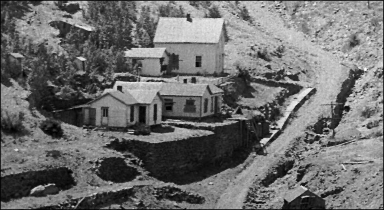 http://cdm16079.contentdm.oclc.org/cdm/fullbrowser/collection/p15330coll22/id/75345/rv/singleitem/rec/7 In 2001 I had the good fortune to meet up with Joe Crea and Keith Pashina along with Dan Abbott for a "Gilpin looky-see" around Blackhawk-Central, ending up with exploring the Packard Gulch area. It looked a heck of a lot like there had been an attempt to grade up around in back of the trestle site there. Was that done by Lindsey? I never did find out how far down his Central City tracks extended. Bobtail Gulch where the Box culverts were located, was the location of the first intensive mining there, visible on the Central City side of the gulch. 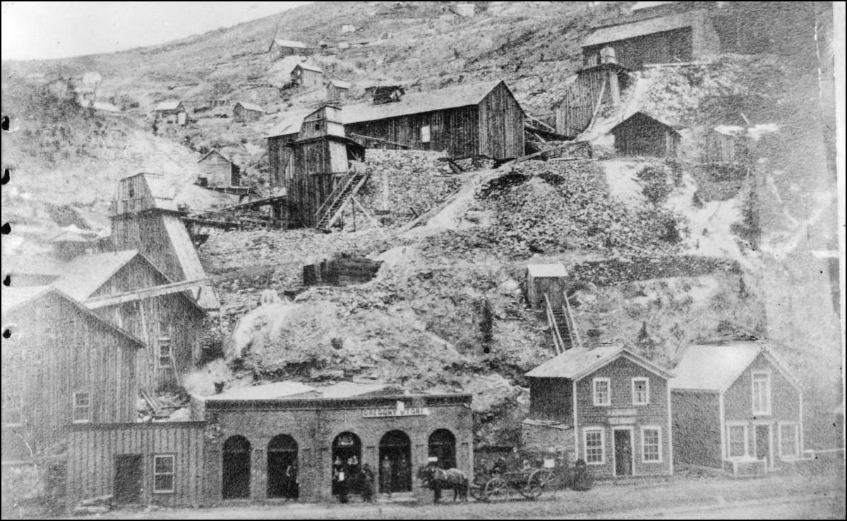 http://cdm16079.contentdm.oclc.org/cdm/fullbrowser/collection/p15330coll21/id/11912/rv/singleitem/rec/1
UpSideDownC
in New Zealand |
|
Poncha Pass (yes, the "other guys"), 2015:
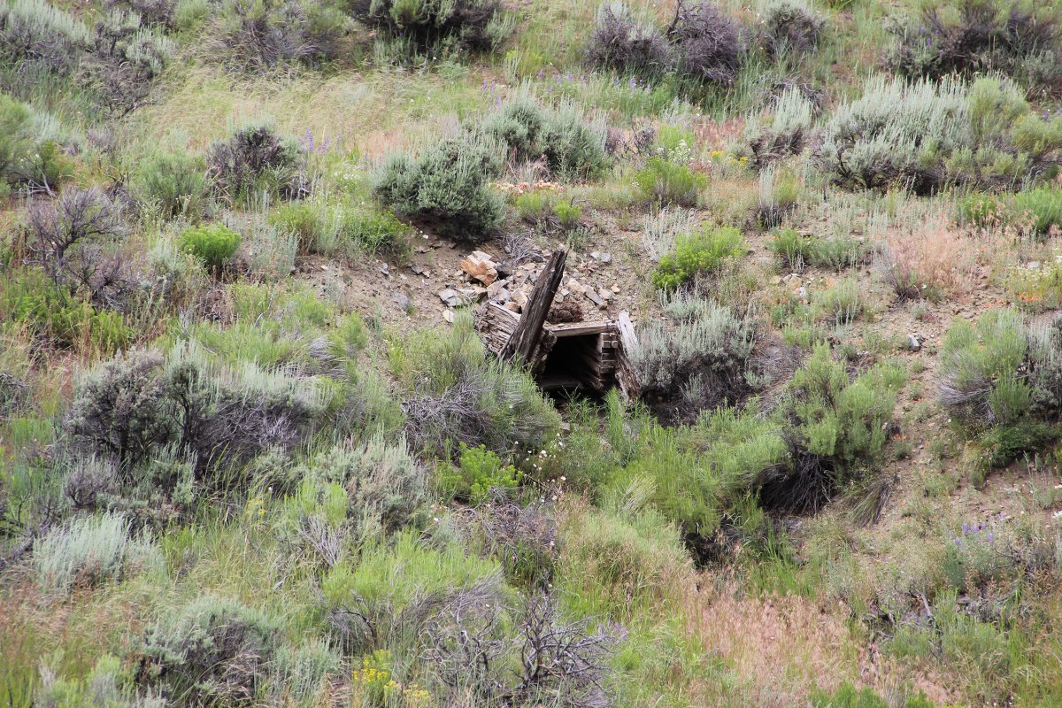 A bit more detail: 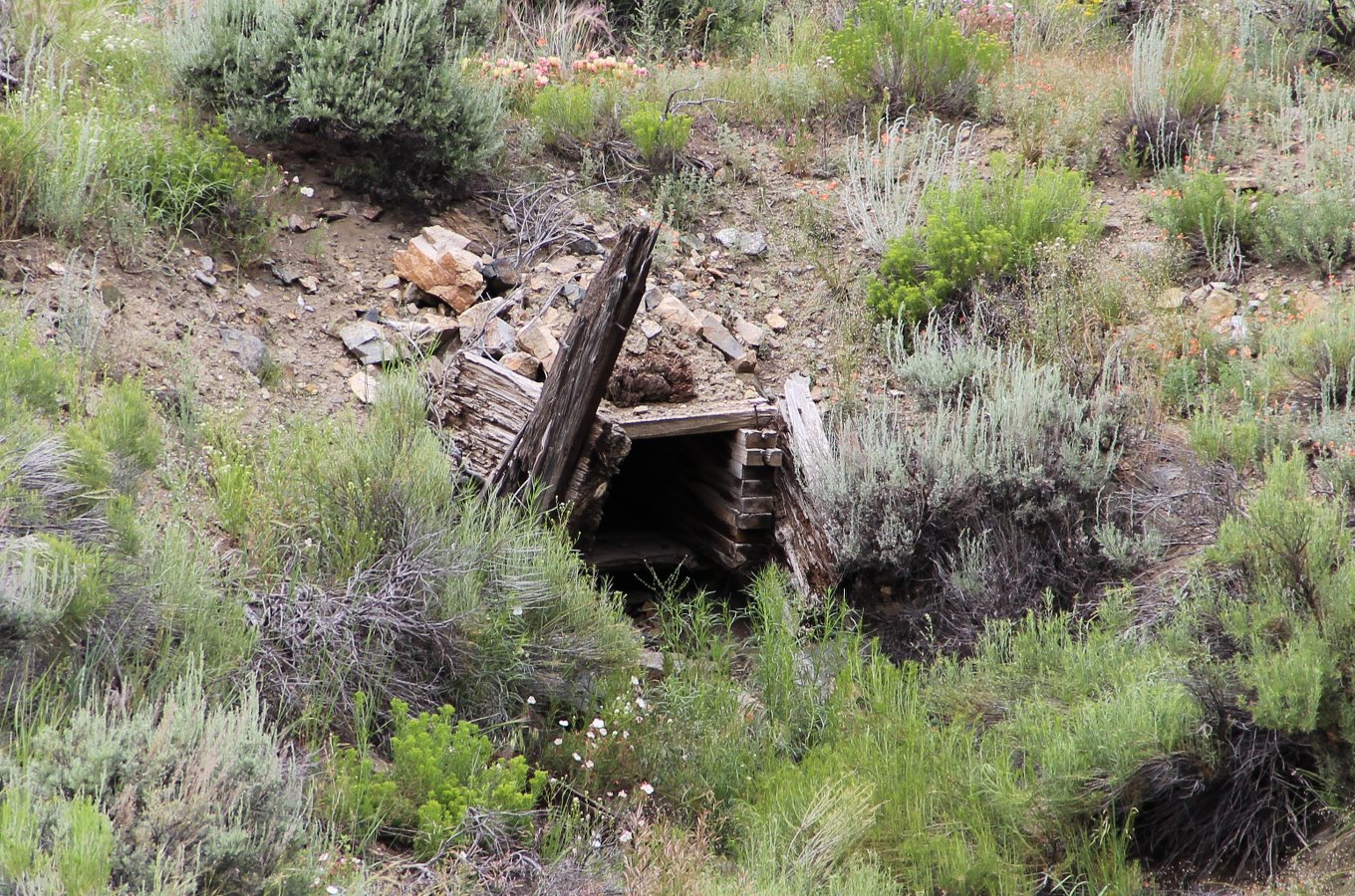
|
|
Somewhere on Poncha Pass there might be the remains of some DSP&P grading the South Park would have had to do in order to file for a right of way
|
|
> Somewhere on Poncha Pass there might be the remains of some DSP&P grading
> the South Park would have had to do in order to file for a right of way Interesting. I just assumed I was looking at D&RGW grade, but I don’t have the ICC maps for it, so it’s even possible that picture is of the South Park grade…. Cheers, Jeff. |
|
More than likely you were looking at D&RGW grade.If you have Colorado Rail Annual #12,turn to p38 -read all of it as the material about Poncha is about halfway in the middle of the page in a letter from John Evans to Leonard Eicholz.It sounds like they have a work crew on the pass.In his letter of May20,1879 he mentions a letter of May 5 telling" what to do about the work in Poncha".Maybe somebody with access to the Eicholz papers could find out what the letter said.Remember this was before the DSP&P gave up on the original route.It mentions maps and profiles that he needs to file.
|
«
Return to C&Sng Discussion Forum
|
1 view|%1 views
| Free forum by Nabble | Edit this page |


